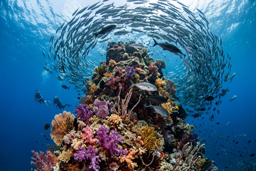
Catalina Islands
A profundidade é o intervalo entre o topo do local e o seu máximo habitual; "certificação recomendada" é o nível das agências convencionais que os operadores normalmente exigem, não uma regra legal. As correntes e a visibilidade mudam diariamente, por isso trata tudo isto como intervalos de planeamento.
The Catalinas are a scatter of bare volcanic rocks a short run from the Flamingo and Tamarindo beaches, and they run on rays. Cool upwelled water from roughly November through May brings the headliners: giant Pacific mantas that wheel over the cleaning rocks, wingtips brushing the thermocline, along with mobulas in strings and spotted eagle rays in squadrons that can pass twenty strong. Whitetips nap under every ledge, octopus and morays fill the cracks, and the green, plankton-thick water that limits the view is precisely what sets the table. When a manta emerges from that murk, close and sudden, the site's reputation explains itself.
O momento pelo qual você vem: Giant mantas in the cool months, eagle ray squadrons, easy logistics from Guanacaste's beach towns
Topografia: Volcanic rock stacks, arches, and rubble slopes
Corrente: Papagayo-season flow feeds the site; drift-style dives around the rocks are standard.
Sabe antes de entrar na água
Perigos: Surge around the stacks, seasonal wind chop, plankton-limited visibility.
Conservação: Give mantas the right of way and never chase - encounters here depend on the animals choosing to stay.
Quem vai encontrar
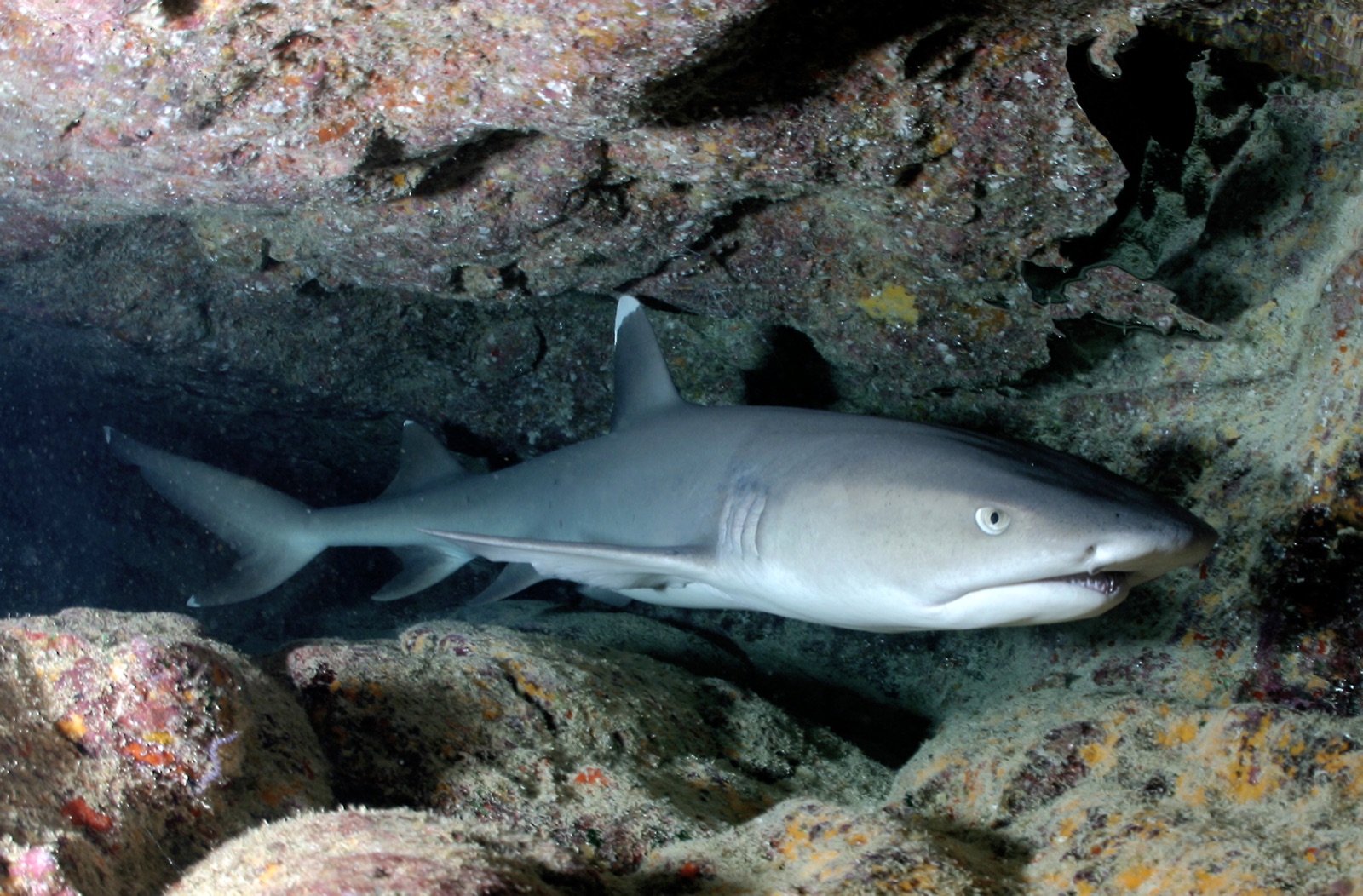
Whitetip Reef Shark
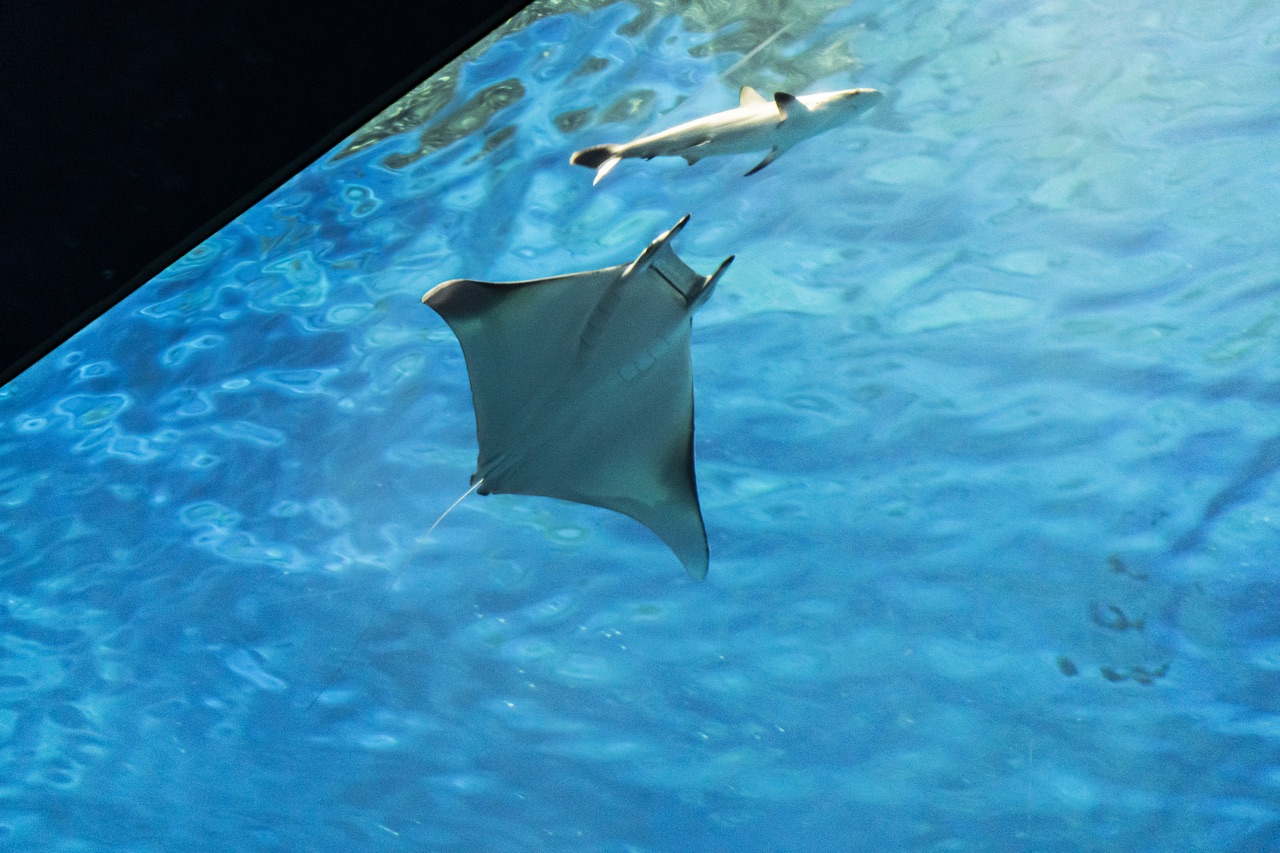
Mobula (Devil) Ray
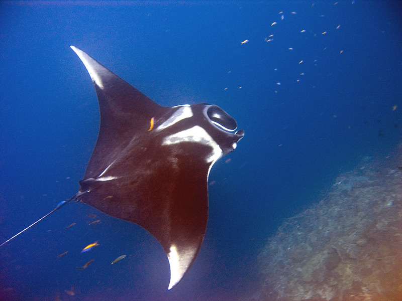
Oceanic Manta Ray
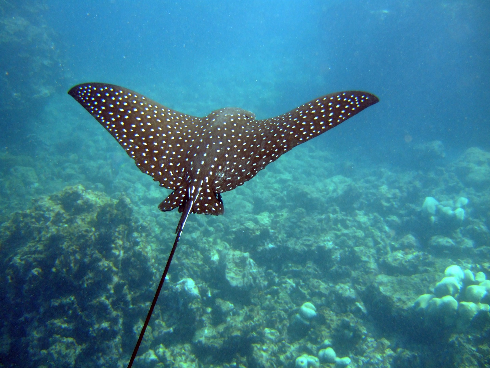
Spotted Eagle Ray
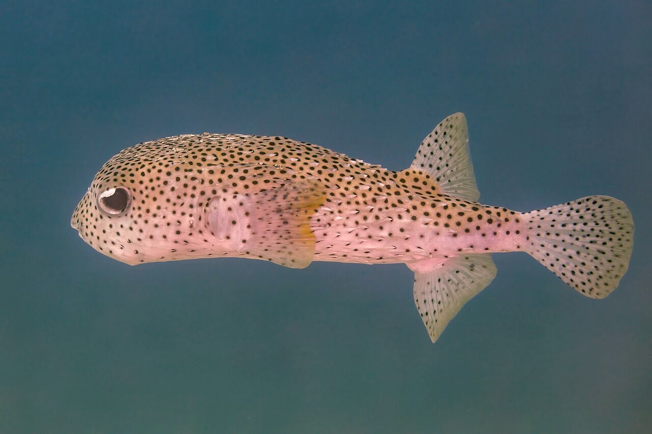
Porcupinefish
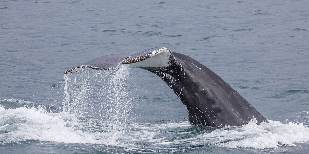
Humpback Whale

Nudibranchs
As espécies "registadas aqui" foram listadas pelos nossos editores a partir das fontes desta página. As contagens são registos de ocorrência do GBIF: observações registadas num raio de cerca de 5 km da posição indicada desde 1990, cruzadas apenas com as espécies do nosso catálogo. Mostram o que foi avistado no local, não uma garantia do que irá encontrar.
Para fotógrafos
Grande angular: ★★★★☆ · Macro: ★★☆☆☆ (classificação de 1–5 dos editores sobre o que este sítio oferece a cada estilo de fotografia)