
Dabaisha
水深はサイト上部から通常の最大深度までの範囲を示し、「推奨認定レベル」はオペレーターが一般的に求めるメインストリーム機関の資格レベルであり、法的な義務ではありません。流れと透明度は日々変化します——ここに掲載されている情報はすべて計画の目安としてご利用ください。
Dabaisha takes its name from the pale crescent of coral rubble above the waterline, and the dive begins the moment the steps end: a clean slope of mixed corals cut by sand channels, patrolled by green turtles with the unbothered air the island's protection has bred into them. The southwestern corner catches passing current, which sharpens the fish life, morays in the crevices, lionfish hanging off the ledges, snapper drifting the channel edges, and gives the site a wilder feel than the busier zones. When the monsoon blows out the north coast, Dabaisha is often the island's working answer.
その瞬間のために: Turtle traffic on a clean slope, livelier current-fed corner, monsoon-season fallback
地形: Coral slope off a white coral-rubble beach, sand channels between gardens
流れ(カレント): The corner position invites flow; guides check it before committing the group.
エントリー: Steps off the boardwalk at the island's southwestern corner; watch the current wrapping the point on spring tides.
エントリー前に知っておこう
危険生物・リスク: Current around the point and surge over the rubble shelf in swell.
出会える生物
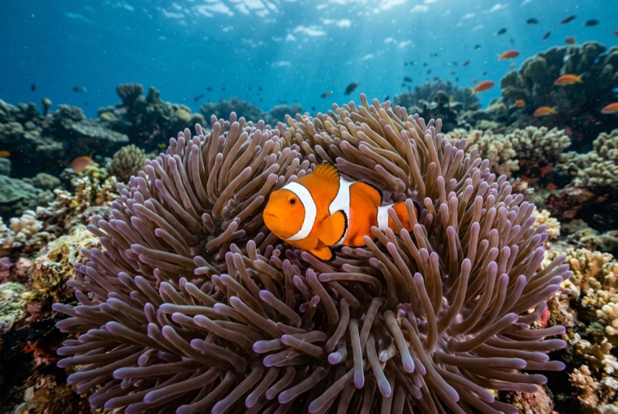
Clownfish & Anemonefish
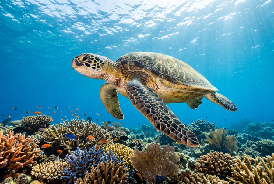
Green Sea Turtle
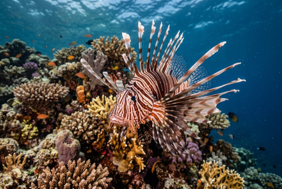
Lionfish

Nudibranchs
水中フォトグラファー向け
ワイドアングル: ★★★★☆ · マクロ: ★★★☆☆ — 各撮影スタイルに対するこのサイトの評価(編集部による1〜5点)