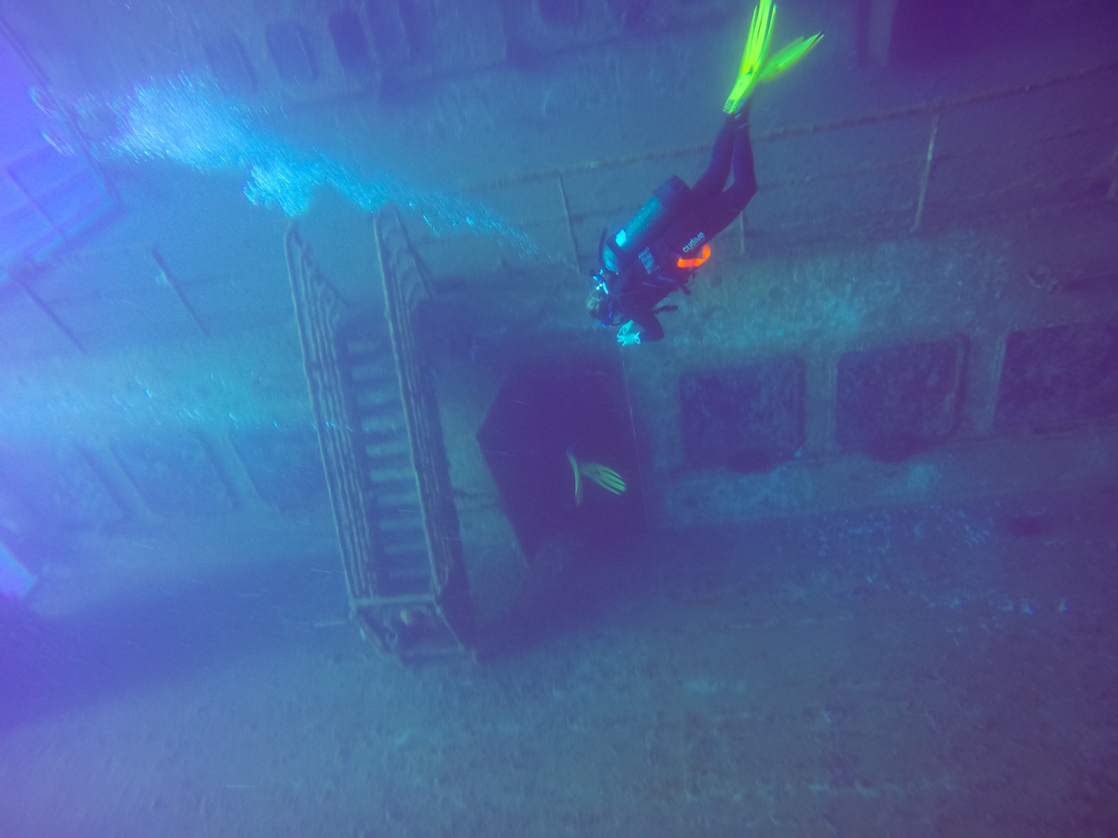
MS Zenobia
A profundidade é o intervalo entre o topo do local e o seu máximo habitual; "certificação recomendada" é o nível das agências convencionais que os operadores normalmente exigem, não uma regra legal. As correntes e a visibilidade mudam diariamente, por isso trata tudo isto como intervalos de planeamento.
The Zenobia sank in June 1980 on her maiden voyage, listing fatally after ballast-system failures and going down outside Larnaca with more than a hundred articulated trucks chained to her decks (and, mercifully, no one aboard). She has since become the Mediterranean's benchmark wreck. First dives trace the vast starboard hull and railings from 16 m; later ones drop along the accommodation block, peer into the cafeteria, and follow the truck cargo hanging in slow-motion avalanche. Full penetration of the vehicle decks and engine room is committed technical diving in silt and suspended cargo. Groupers, barracuda and now lionfish work the hull. A week is barely enough.
O momento pelo qual você vem: One of the world's great wrecks: trucks on their chains, cavernous car decks, endless route options
Topografia: A 172 m RO-RO ferry on her port side on flat sand, starboard hull at 16–18 m, seabed at about 42–43 m
Entrada: Ten minutes by boat from Larnaca's marina to permanent mooring lines; multiple boats rotate over the wreck daily in season.
Sabe antes de entrar na água
Perigos: Scale and overhead: the interior has claimed experienced divers, and depth accumulates fast on the lower routes. Stay on planned lines and outside the hull without wreck training.
Conservação: The wreck is Larnaca's economic reef: established mooring lines protect it, and nothing is removed.
Nitrox: Vale a pena aqui: os perfis situam-se na gama em que o nitrox prolonga significativamente o tempo sem paragem de descompressão (com a formação para o usar).
Quem vai encontrar

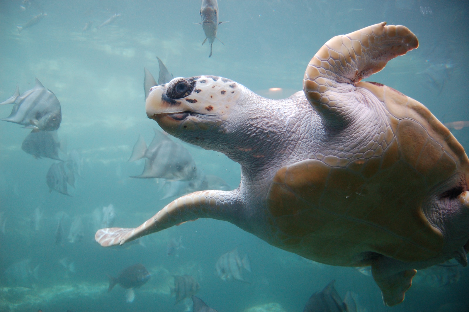

As espécies "registadas aqui" foram listadas pelos nossos editores a partir das fontes desta página. As contagens são registos de ocorrência do GBIF: observações registadas num raio de cerca de 5 km da posição indicada desde 1990, cruzadas apenas com as espécies do nosso catálogo. Mostram o que foi avistado no local, não uma garantia do que irá encontrar.
Para fotógrafos
Grande angular: ★★★★★ · Macro: ★★☆☆☆ (classificação de 1–5 dos editores sobre o que este sítio oferece a cada estilo de fotografia)