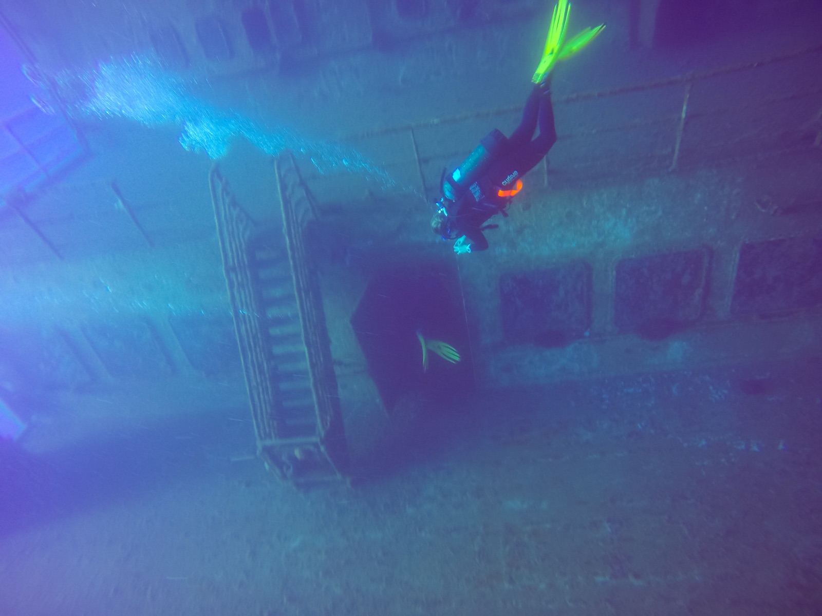
MS Zenobia
La profondeur correspond à la plage allant du sommet du site jusqu'à son maximum habituel ; le « niveau recommandé » est le niveau demandé en général par les opérateurs auprès des grandes agences, pas une règle légale. Les courants et la visibilité varient chaque jour, traitez donc tout cela comme des plages indicatives de planification.
The Zenobia sank in June 1980 on her maiden voyage, listing fatally after ballast-system failures and going down outside Larnaca with more than a hundred articulated trucks chained to her decks (and, mercifully, no one aboard). She has since become the Mediterranean's benchmark wreck. First dives trace the vast starboard hull and railings from 16 m; later ones drop along the accommodation block, peer into the cafeteria, and follow the truck cargo hanging in slow-motion avalanche. Full penetration of the vehicle decks and engine room is committed technical diving in silt and suspended cargo. Groupers, barracuda and now lionfish work the hull. A week is barely enough.
Le moment pour lequel vous venez: One of the world's great wrecks: trucks on their chains, cavernous car decks, endless route options
Topographie: A 172 m RO-RO ferry on her port side on flat sand, starboard hull at 16–18 m, seabed at about 42–43 m
Entrée: Ten minutes by boat from Larnaca's marina to permanent mooring lines; multiple boats rotate over the wreck daily in season.
À savoir avant de plonger
Dangers: Scale and overhead: the interior has claimed experienced divers, and depth accumulates fast on the lower routes. Stay on planned lines and outside the hull without wreck training.
Conservation: The wreck is Larnaca's economic reef: established mooring lines protect it, and nothing is removed.
Nitrox: Pertinent ici : les profils se situent dans la plage où le nitrox prolonge significativement le temps sans palier (avec la formation pour l'utiliser).
Qui vous croiserez

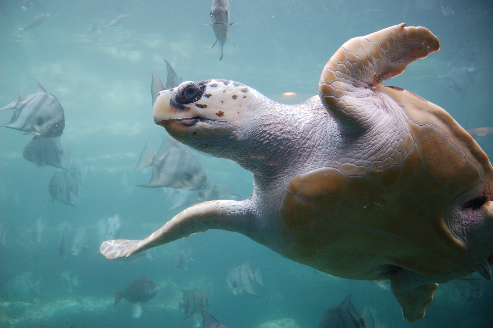

Les espèces « cartographiées ici » ont été répertoriées par nos éditeurs à partir des sources indiquées sur cette page. Les comptages correspondent aux occurrences GBIF : observations enregistrées dans un rayon d'environ 5 km autour de la position cartographiée depuis 1990, comparées uniquement aux espèces de notre catalogue. Ils indiquent ce qui a été observé à cet endroit, sans garantir ce que vous y verrez.
Pour les photographes
Grand angle: ★★★★★ · Macro: ★★☆☆☆ (note 1–5 des éditeurs sur ce que ce site offre à chaque style de prise de vue)