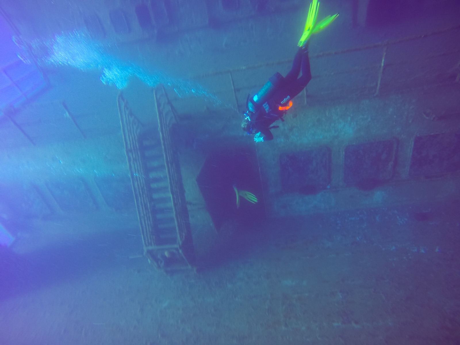
MS Zenobia
La profondità indica l'intervallo dalla sommità del sito al suo massimo abituale; il "brevetto consigliato" è il livello richiesto dalla maggior parte degli operatori delle principali agenzie, non una norma di legge. Correnti e visibilità cambiano ogni giorno, quindi considera tutto come intervalli di pianificazione.
The Zenobia sank in June 1980 on her maiden voyage, listing fatally after ballast-system failures and going down outside Larnaca with more than a hundred articulated trucks chained to her decks (and, mercifully, no one aboard). She has since become the Mediterranean's benchmark wreck. First dives trace the vast starboard hull and railings from 16 m; later ones drop along the accommodation block, peer into the cafeteria, and follow the truck cargo hanging in slow-motion avalanche. Full penetration of the vehicle decks and engine room is committed technical diving in silt and suspended cargo. Groupers, barracuda and now lionfish work the hull. A week is barely enough.
Il momento che aspettavi: One of the world's great wrecks: trucks on their chains, cavernous car decks, endless route options
Topografia: A 172 m RO-RO ferry on her port side on flat sand, starboard hull at 16–18 m, seabed at about 42–43 m
Entrata: Ten minutes by boat from Larnaca's marina to permanent mooring lines; multiple boats rotate over the wreck daily in season.
Sapere prima di tuffarsi
Pericoli: Scale and overhead: the interior has claimed experienced divers, and depth accumulates fast on the lower routes. Stay on planned lines and outside the hull without wreck training.
Conservazione: The wreck is Larnaca's economic reef: established mooring lines protect it, and nothing is removed.
Nitrox: Vale la pena qui: i profili rientrano nell'intervallo in cui l'aria arricchita (nitrox) prolunga in modo significativo il tempo di non-decompressione (con la formazione necessaria per utilizzarla).
Chi incontrerai

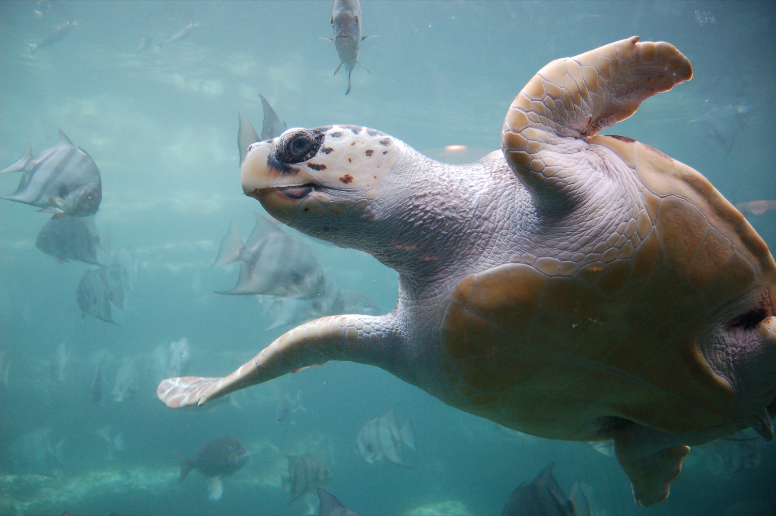

Le specie "schedate qui" sono state inserite dai nostri redattori a partire dalle fonti indicate in questa pagina. I conteggi sono record di occorrenza GBIF: osservazioni registrate entro circa 5 km dalla posizione indicata in carta a partire dal 1990, confrontate esclusivamente con le specie presenti nel nostro catalogo. Mostrano ciò che è stato avvistato in quel luogo, non una garanzia di ciò che vedrete.
Per i fotografi
Grandangolo: ★★★★★ · Macro: ★★☆☆☆ (valutazione da 1 a 5 dei redattori su ciò che questo sito offre per ogni stile di ripresa)