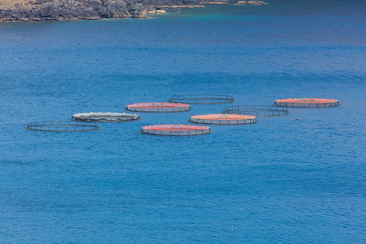
Ponta de Sao Lourenco
العمق هو المدى من أعلى الموقع إلى الحد الأقصى المعتاد، و"الشهادة الموصى بها" هي المستوى الذي تطلبه الوكالات الكبرى في الغالب، لا قاعدة قانونية. التيارات والرؤية تتغير يومياً، فاعتبر كل ما هنا مدى تخطيطياً.
Madeira's eastern peninsula trails off into the Atlantic as a line of bare volcanic ridges, and the seabed continues the same geometry: dykes, arches and boulder chaos washed by clean oceanic water. Fish traffic is busier here than on the sheltered coast (schools of bogue and bream, hunting jacks and barracuda, big stingrays in the sand channels) because the point catches whatever the open sea pushes past. Conditions decide everything; on calm days it is the island's most scenic diving, and when swell runs the boats simply go elsewhere.
اللحظة التي جئت من أجلها: Raw volcanic topography, pelagic traffic at the point, uncrowded sites
التضاريس: Dramatic volcanic ridges, arches and boulder fields at the island's eastern tip
نقطة الدخول: Boat dives from Machico or Canical along Madeira's exposed eastern peninsula; sites are chosen to match the day's swell.
اعرف قبل أن تقفز في الماء
المخاطر: Exposure to swell and current; entries and exits can be sporty in anything but calm weather.
الحفاظ على البيئة البحرية: The peninsula and surrounding waters are protected landscape; anchoring is restricted.
من ستلتقي
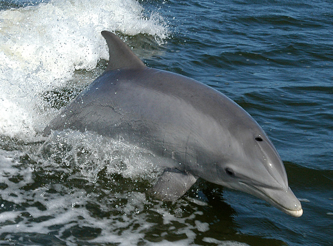
Bottlenose Dolphin
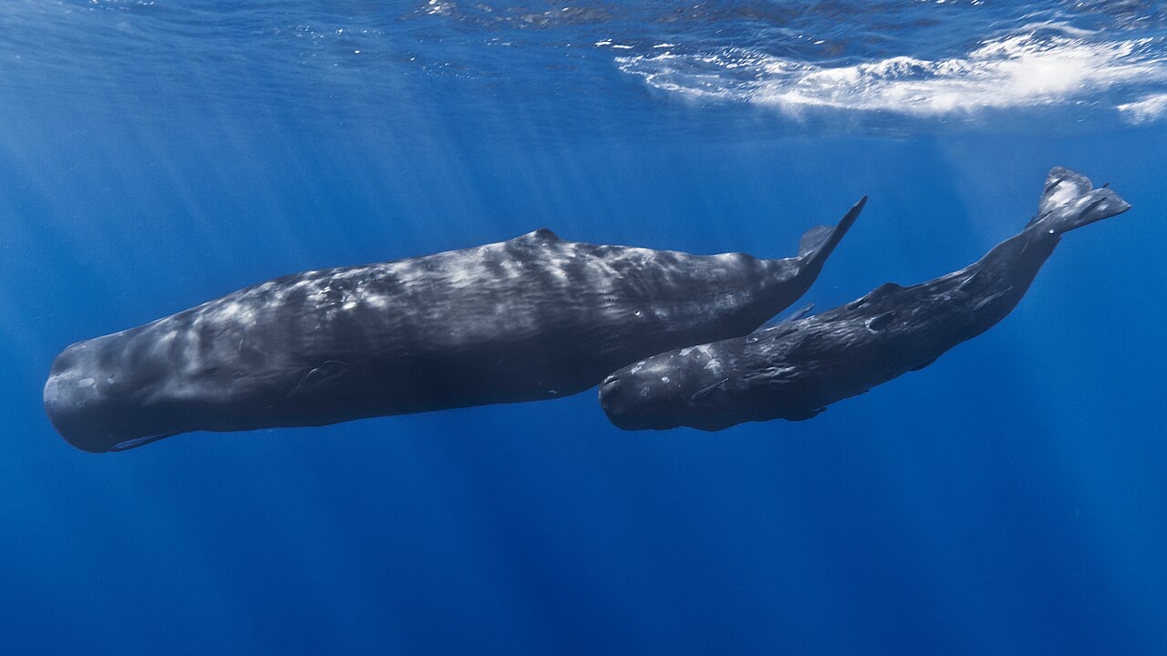
Sperm Whale
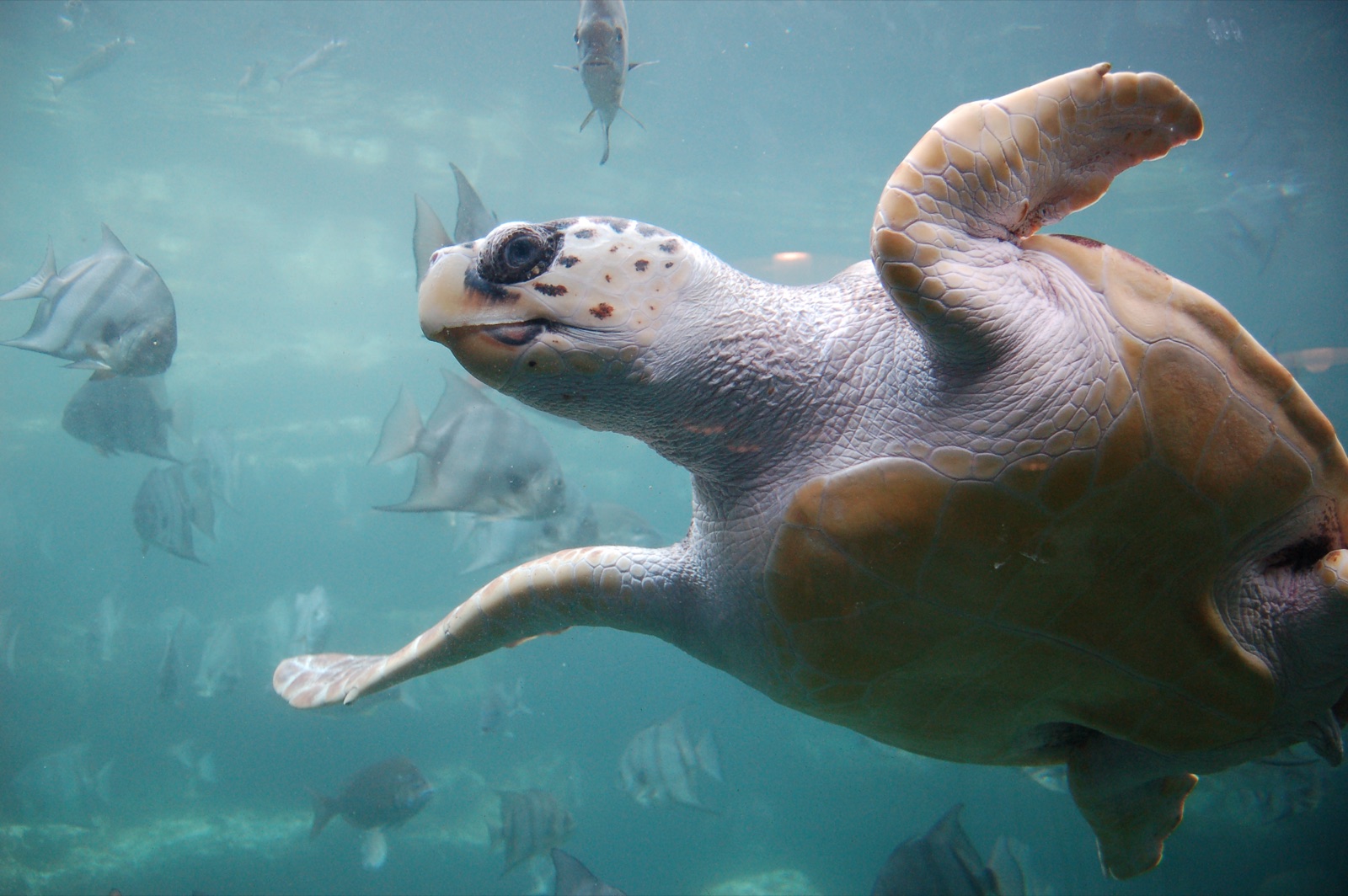
Loggerhead Turtle
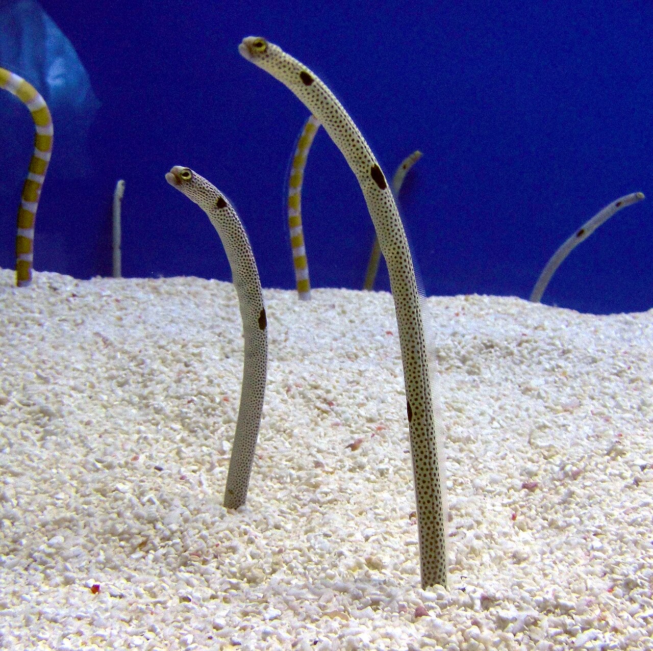
Garden Eel

Nudibranchs
أنواع "مُرسَّمة هنا" أدرجها محرّرونا من المصادر الواردة في هذه الصفحة. الأعداد هي سجلات ظهور GBIF: مشاهدات مُسجَّلة في نطاق نحو 5 كم من الموضع المُرسَّم منذ عام 1990، ومُطابَقة فقط مع الأنواع الموجودة في فهرسنا. وهي تُظهر ما شوهد هناك، لا وعدًا بما ستراه.
للمصوّرين
زاوية واسعة: ★★★★☆ · الماكرو: ★★☆☆☆ (تقييم المحرّرين من 1 إلى 5 لما يتيحه هذا الموقع لكل أسلوب تصوير)