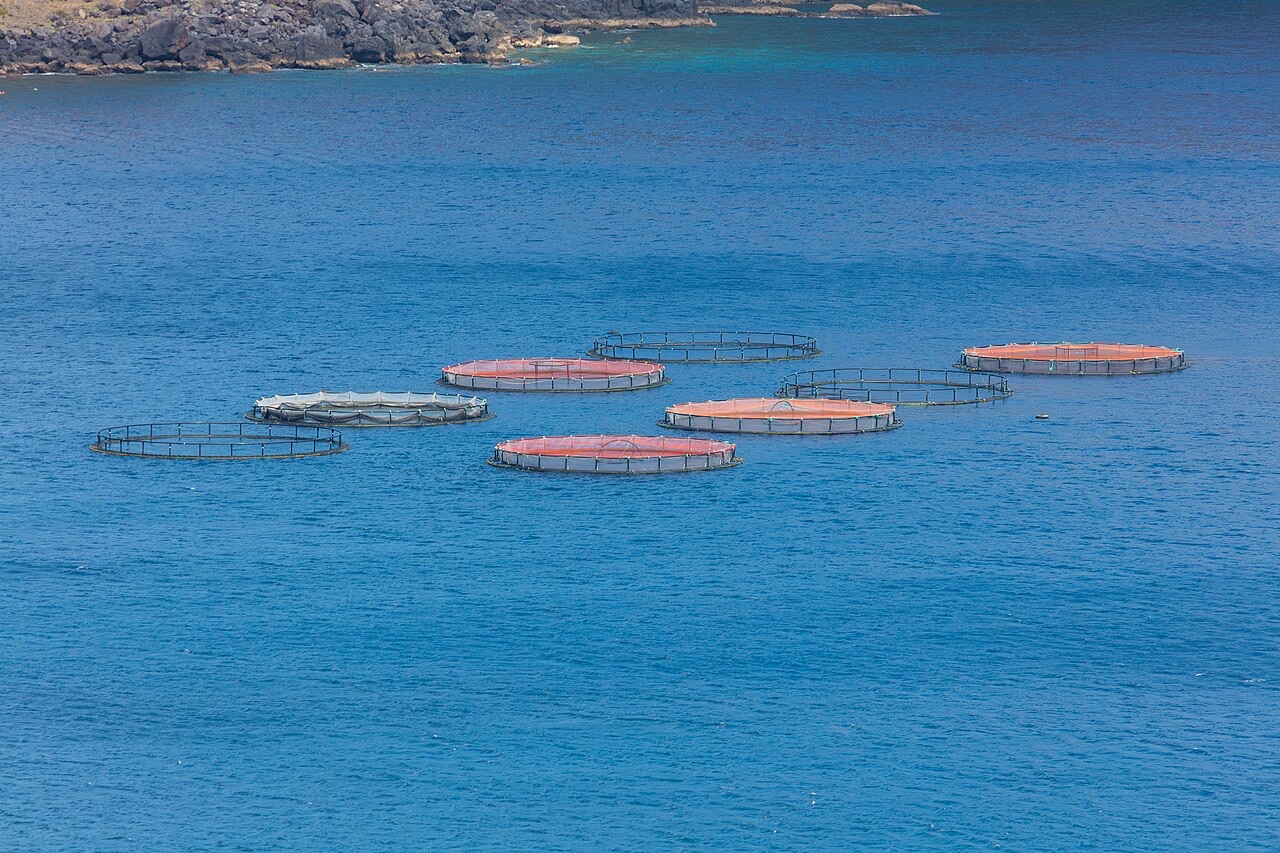
Ponta de Sao Lourenco
Die Tiefe gibt den Bereich von der Oberkante des Tauchplatzes bis zur üblichen Maximaltiefe an; „empfohlene Zertifizierung" ist das von Anbietern üblicherweise geforderte Mainstream-Agenturniveau – keine gesetzliche Vorschrift. Strömungen und Sichtweite ändern sich täglich – behandle alle Angaben hier als Planungsbereiche.
Madeira's eastern peninsula trails off into the Atlantic as a line of bare volcanic ridges, and the seabed continues the same geometry: dykes, arches and boulder chaos washed by clean oceanic water. Fish traffic is busier here than on the sheltered coast (schools of bogue and bream, hunting jacks and barracuda, big stingrays in the sand channels) because the point catches whatever the open sea pushes past. Conditions decide everything; on calm days it is the island's most scenic diving, and when swell runs the boats simply go elsewhere.
Der Moment, für den du kommst: Raw volcanic topography, pelagic traffic at the point, uncrowded sites
Topografie: Dramatic volcanic ridges, arches and boulder fields at the island's eastern tip
Einstieg: Boat dives from Machico or Canical along Madeira's exposed eastern peninsula; sites are chosen to match the day's swell.
Was du wissen solltest, bevor du ins Wasser gehst
Gefahren: Exposure to swell and current; entries and exits can be sporty in anything but calm weather.
Naturschutz: The peninsula and surrounding waters are protected landscape; anchoring is restricted.
Wen du triffst
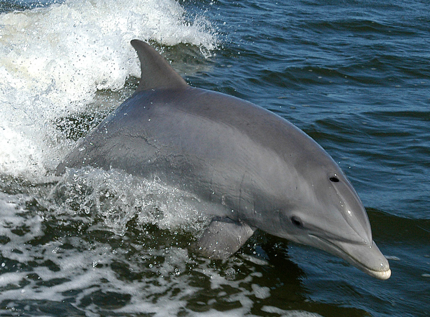
Bottlenose Dolphin
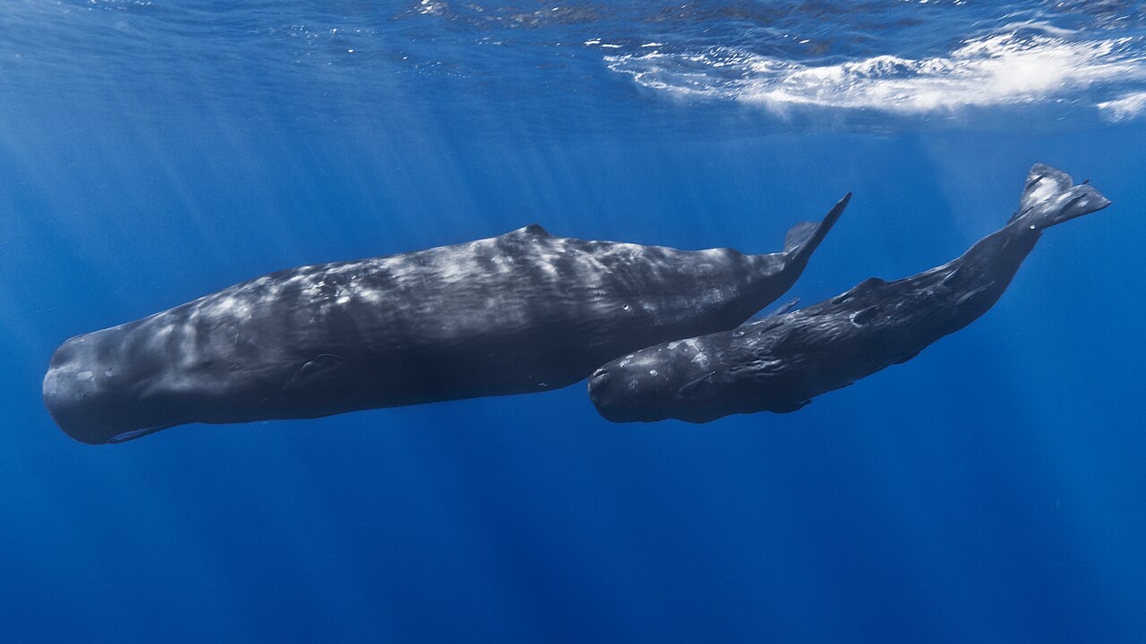
Sperm Whale
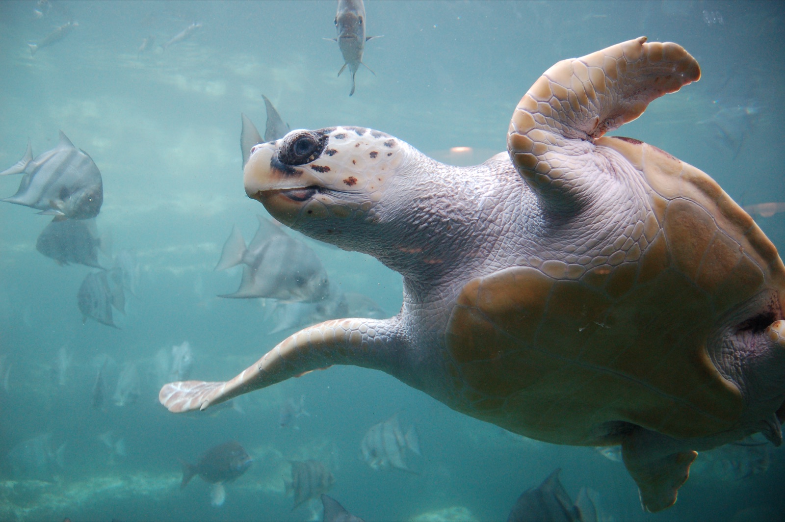
Loggerhead Turtle
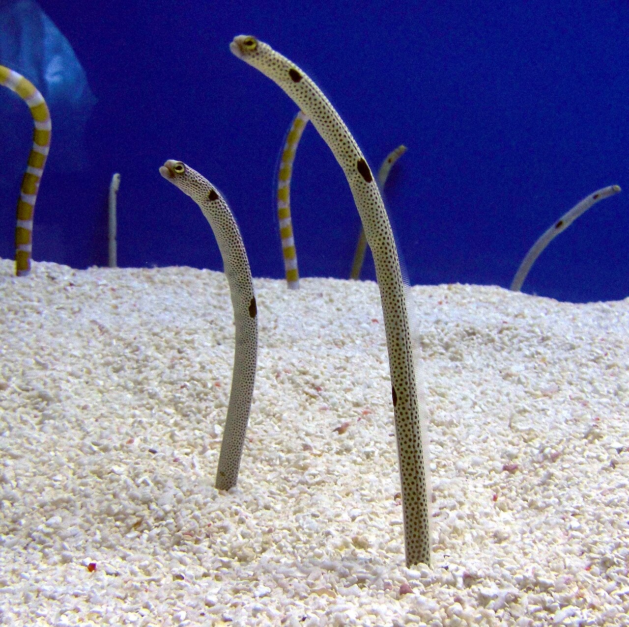
Garden Eel

Nudibranchs
„Hier kartiert" – Arten wurden von unseren Redakteuren anhand der Quellen auf dieser Seite erfasst. Die Zahlen sind GBIF-Vorkommensdatensätze: Beobachtungen, die seit 1990 im Umkreis von etwa 5 km um die kartierte Position protokolliert wurden, ausschließlich abgeglichen mit den Arten in unserem Katalog. Sie zeigen, was dort gesichtet wurde – keine Garantie, was du sehen wirst.
Für Fotografen
Weitwinkel: ★★★★☆ · Makro: ★★☆☆☆ (Redaktionelle 1–5-Bewertung, was dieser Platz für jeden Fotografie-Stil bietet)