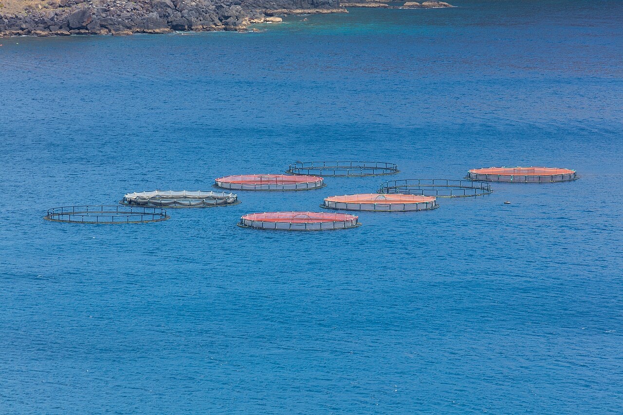
Ponta de Sao Lourenco
Depth is the range from the top of the site to its usual maximum; "recommended cert" is the mainstream-agency level operators usually ask for, not a legal rule. Currents and visibility change daily, so treat everything here as planning ranges.
Madeira's eastern peninsula trails off into the Atlantic as a line of bare volcanic ridges, and the seabed continues the same geometry: dykes, arches and boulder chaos washed by clean oceanic water. Fish traffic is busier here than on the sheltered coast (schools of bogue and bream, hunting jacks and barracuda, big stingrays in the sand channels) because the point catches whatever the open sea pushes past. Conditions decide everything; on calm days it is the island's most scenic diving, and when swell runs the boats simply go elsewhere.
The moment you come for: Raw volcanic topography, pelagic traffic at the point, uncrowded sites
Topography: Dramatic volcanic ridges, arches and boulder fields at the island's eastern tip
Entry: Boat dives from Machico or Canical along Madeira's exposed eastern peninsula; sites are chosen to match the day's swell.
Know before you splash
Hazards: Exposure to swell and current; entries and exits can be sporty in anything but calm weather.
Conservation: The peninsula and surrounding waters are protected landscape; anchoring is restricted.
Who you'll meet
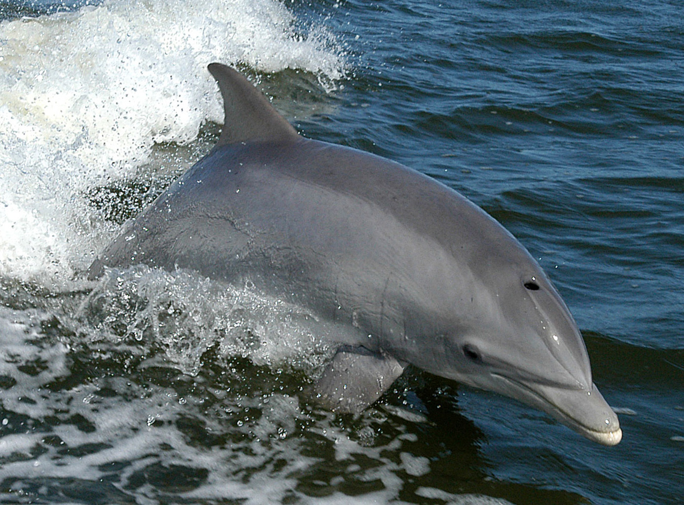
Bottlenose Dolphin
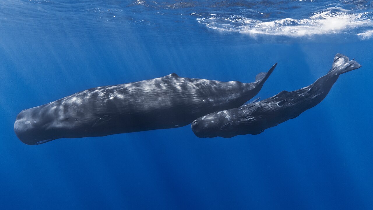
Sperm Whale
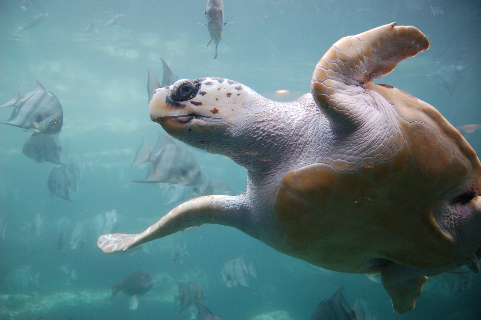
Loggerhead Turtle
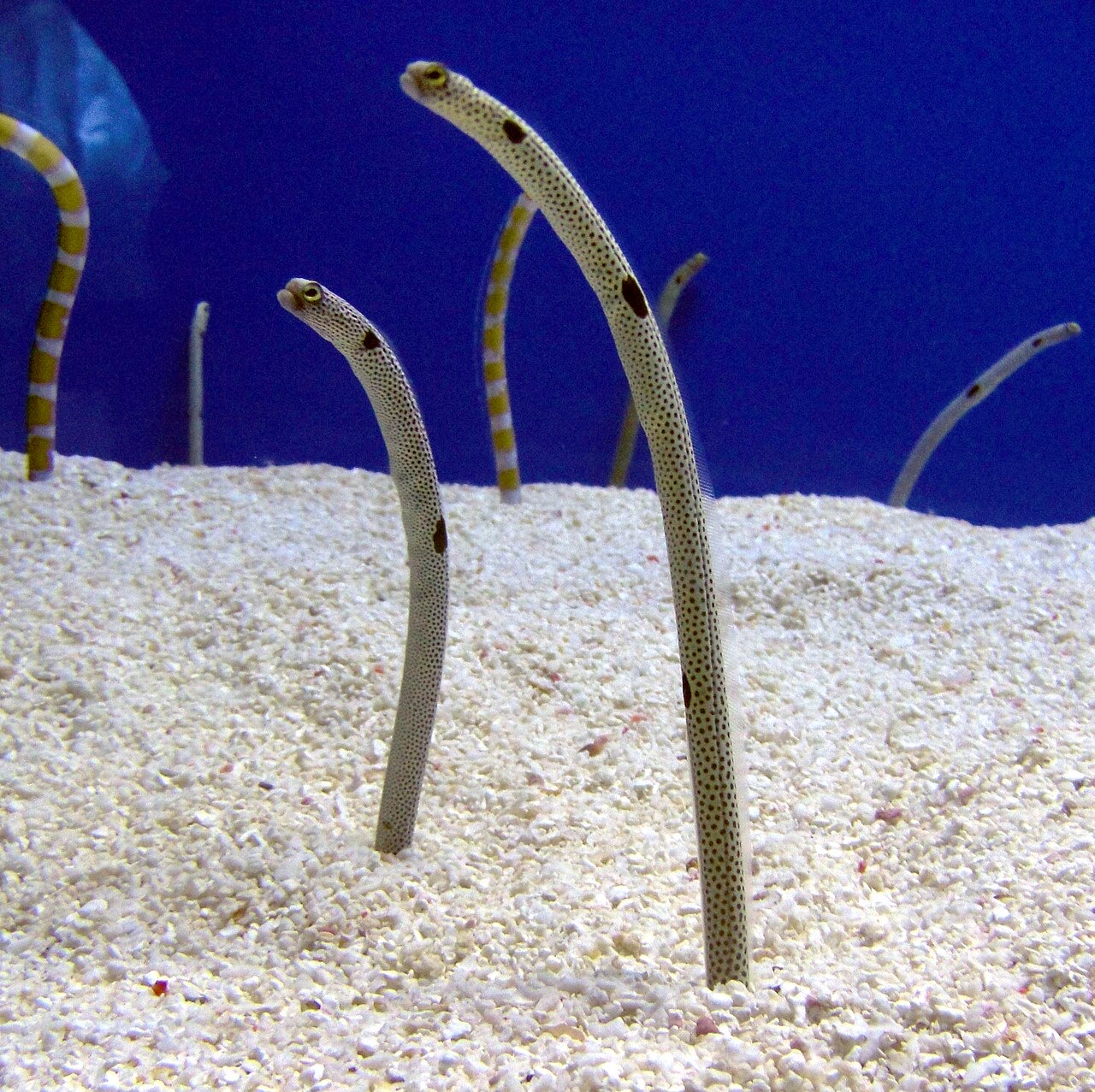
Garden Eel

Nudibranchs
"Charted here" species were listed by our editors from the sources on this page. Counts are GBIF occurrence records: observations logged within about 5 km of the charted position since 1990, matched only against the species in our catalogue. They show what has been seen there, not a promise of what you will see.
For photographers
Wide angle: ★★★★☆ · Macro: ★★☆☆☆ (editors' 1–5 rating of what this site gives each style of shooting)