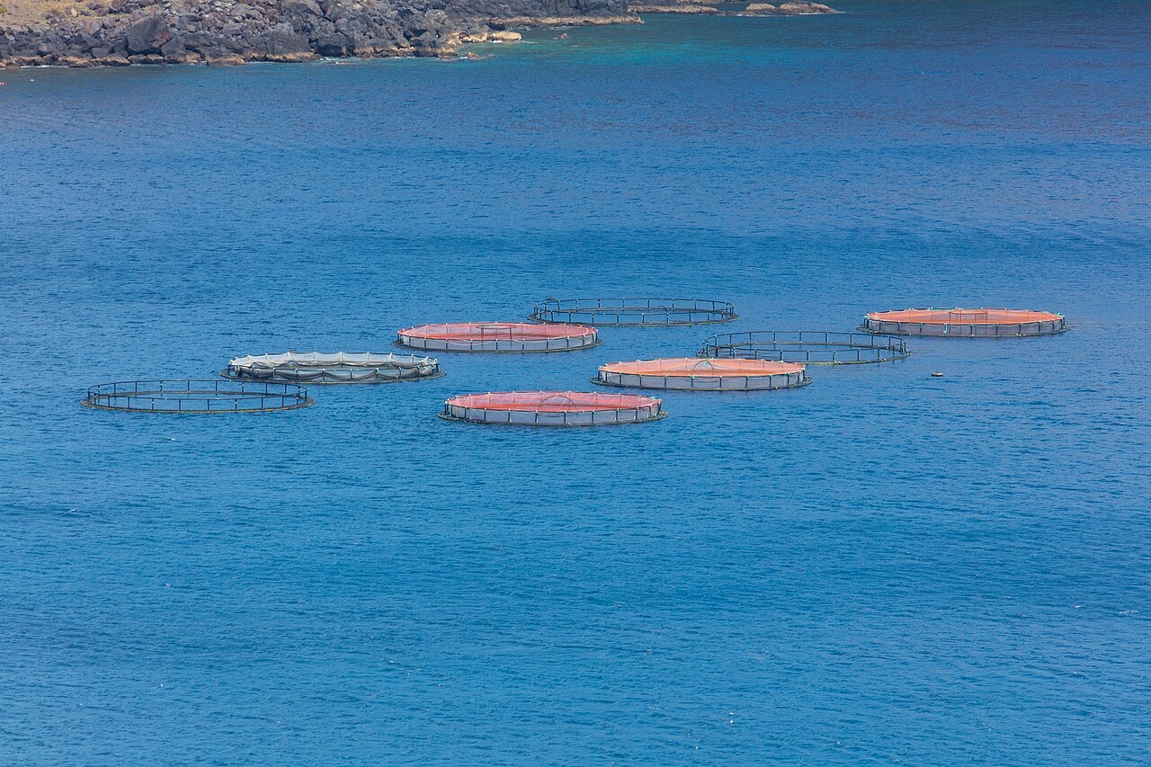
Ponta de Sao Lourenco
La profundidad es el rango desde la cima del punto de buceo hasta su máximo habitual; la "certificación recomendada" es el nivel que los operadores suelen pedir según las agencias principales, no una norma legal. Las corrientes y la visibilidad cambian a diario, así que trata todo esto como rangos de planificación.
Madeira's eastern peninsula trails off into the Atlantic as a line of bare volcanic ridges, and the seabed continues the same geometry: dykes, arches and boulder chaos washed by clean oceanic water. Fish traffic is busier here than on the sheltered coast (schools of bogue and bream, hunting jacks and barracuda, big stingrays in the sand channels) because the point catches whatever the open sea pushes past. Conditions decide everything; on calm days it is the island's most scenic diving, and when swell runs the boats simply go elsewhere.
El momento por el que vienes: Raw volcanic topography, pelagic traffic at the point, uncrowded sites
Topografía: Dramatic volcanic ridges, arches and boulder fields at the island's eastern tip
Entrada: Boat dives from Machico or Canical along Madeira's exposed eastern peninsula; sites are chosen to match the day's swell.
Lo que debes saber antes de tirarte al agua
Riesgos: Exposure to swell and current; entries and exits can be sporty in anything but calm weather.
Conservación: The peninsula and surrounding waters are protected landscape; anchoring is restricted.
A quién encontrarás
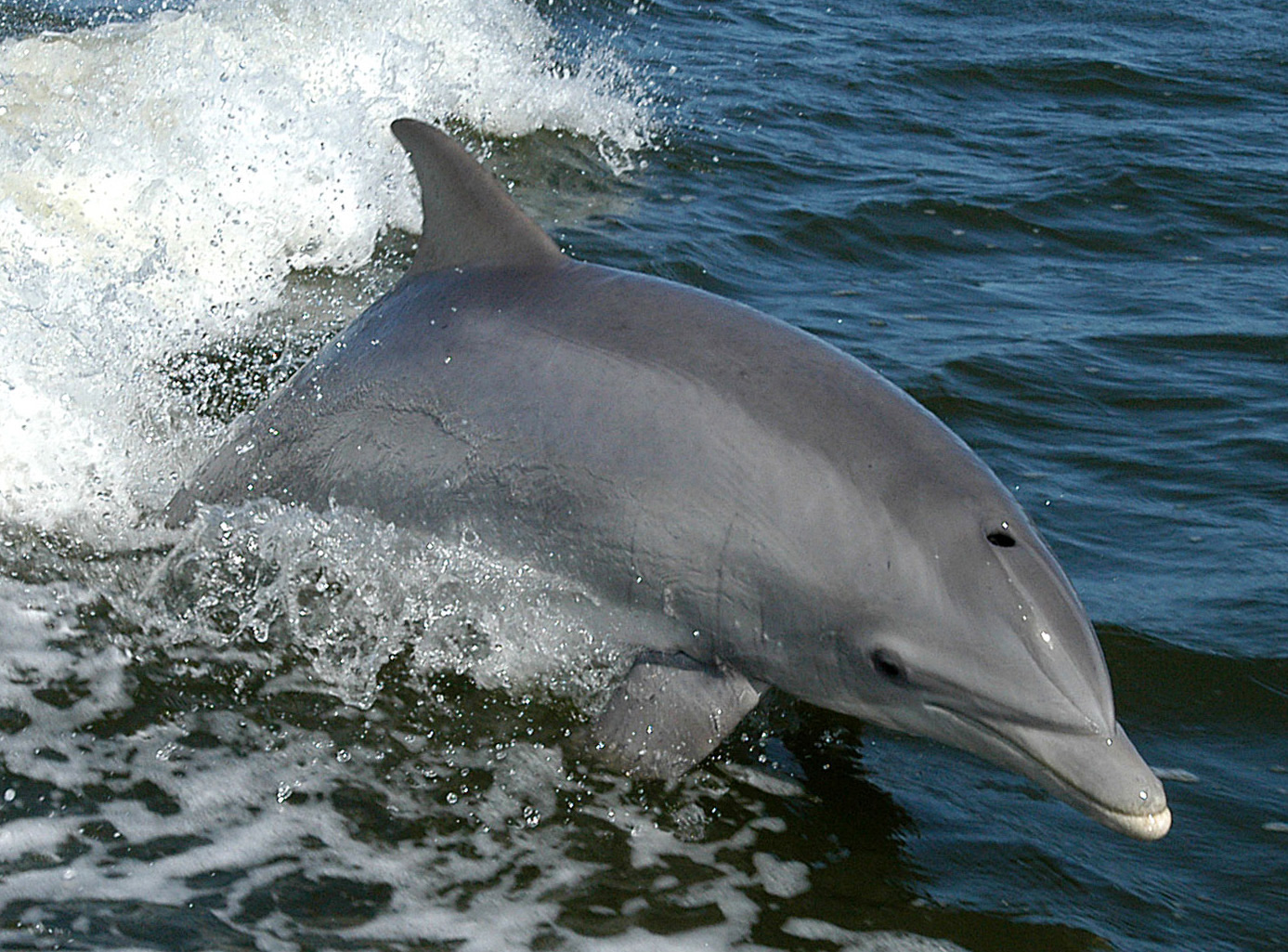
Bottlenose Dolphin
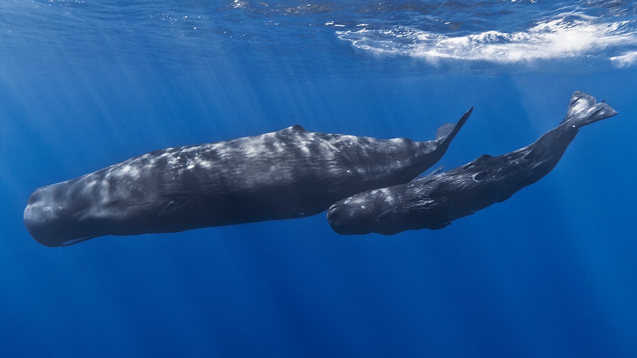
Sperm Whale
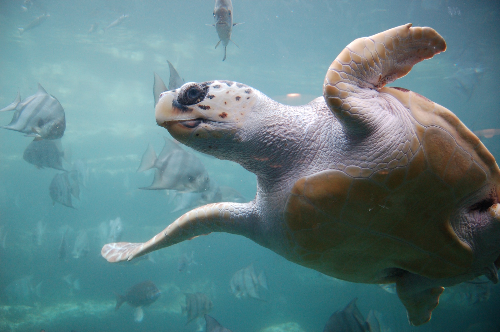
Loggerhead Turtle
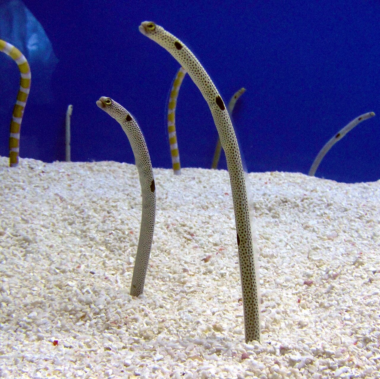
Garden Eel

Nudibranchs
Las especies "aquí registradas" fueron añadidas por nuestros editores a partir de las fuentes de esta página. Los recuentos son registros de ocurrencia de GBIF: observaciones anotadas en un radio de unos 5 km de la posición registrada desde 1990, cotejadas únicamente con las especies de nuestro catálogo. Muestran lo que se ha avistado allí, no una garantía de lo que verás.
Para fotógrafos
Gran angular: ★★★★☆ · Macro: ★★☆☆☆ (valoración de 1 a 5 de los editores sobre lo que ofrece este sitio para cada estilo de fotografía)