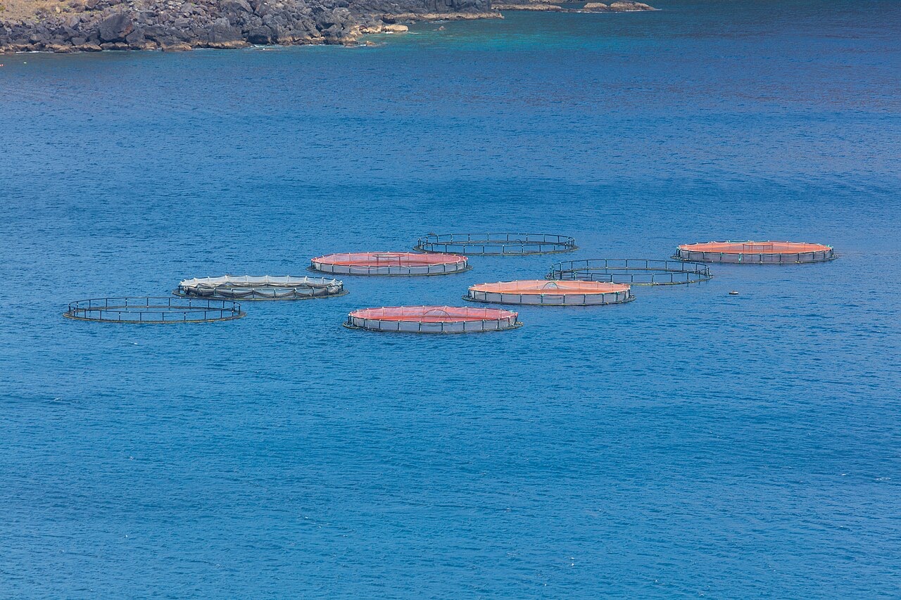
Ponta de Sao Lourenco
Depth साइट की ऊपरी सीमा से उसके सामान्य maximum तक की range है; "recommended cert" वह mainstream-agency level है जो operators आमतौर पर माँगते हैं, कोई कानूनी नियम नहीं। Currents और visibility रोज़ बदलती है, इसलिए सब कुछ planning ranges मानें।
Madeira's eastern peninsula trails off into the Atlantic as a line of bare volcanic ridges, and the seabed continues the same geometry: dykes, arches and boulder chaos washed by clean oceanic water. Fish traffic is busier here than on the sheltered coast (schools of bogue and bream, hunting jacks and barracuda, big stingrays in the sand channels) because the point catches whatever the open sea pushes past. Conditions decide everything; on calm days it is the island's most scenic diving, and when swell runs the boats simply go elsewhere.
वह पल जिसके लिए आप आते हैं: Raw volcanic topography, pelagic traffic at the point, uncrowded sites
टोपोग्राफी: Dramatic volcanic ridges, arches and boulder fields at the island's eastern tip
प्रवेश: Boat dives from Machico or Canical along Madeira's exposed eastern peninsula; sites are chosen to match the day's swell.
पानी में उतरने से पहले जान लें
खतरे: Exposure to swell and current; entries and exits can be sporty in anything but calm weather.
संरक्षण: The peninsula and surrounding waters are protected landscape; anchoring is restricted.
आप किनसे मिलेंगे
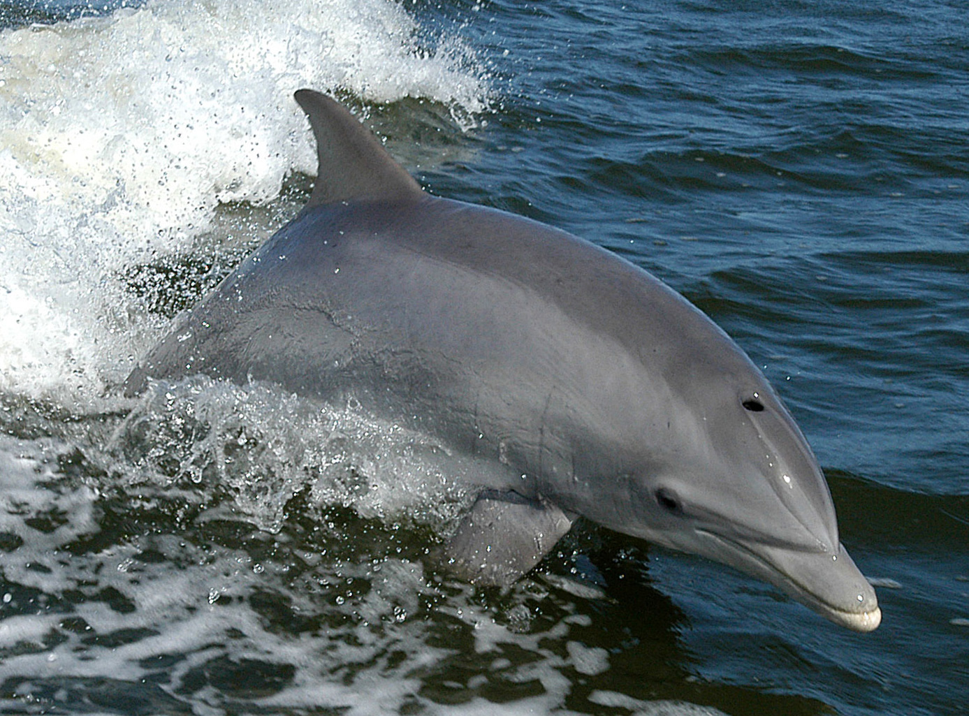
Bottlenose Dolphin
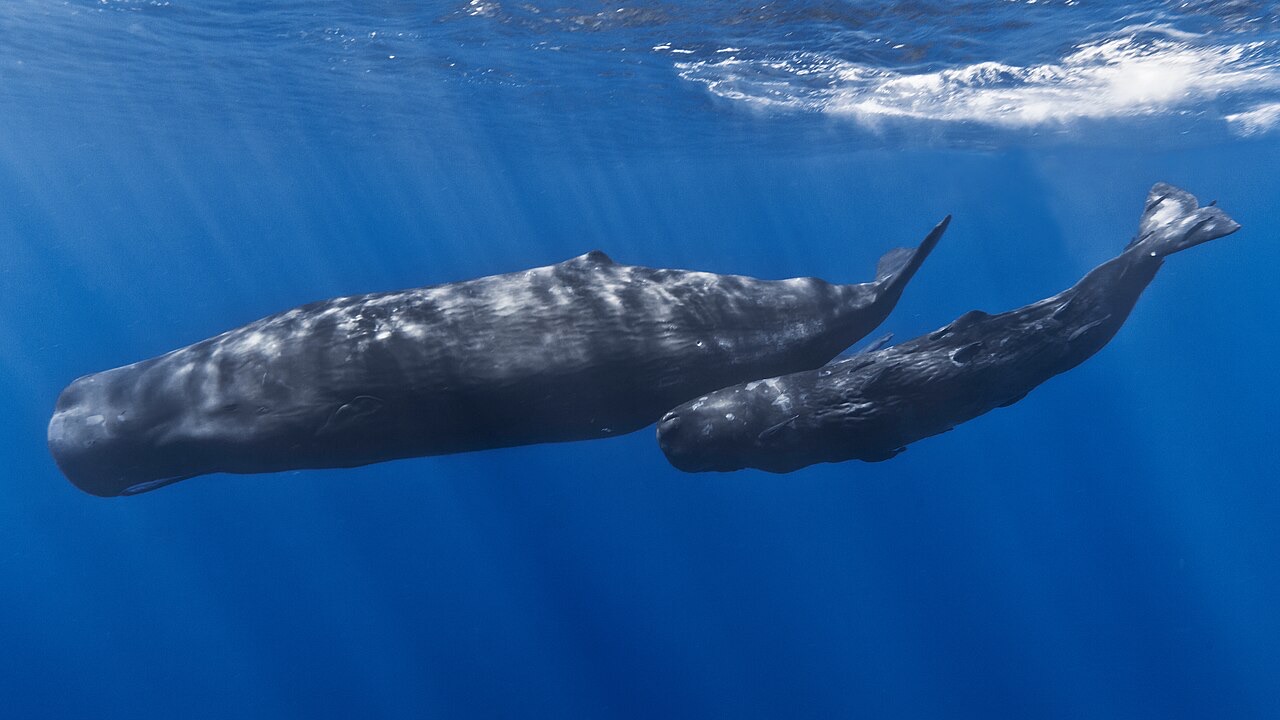
Sperm Whale
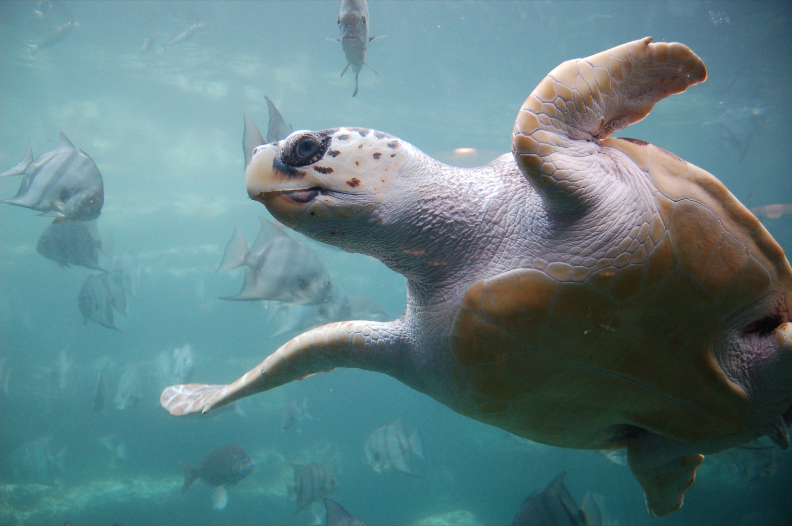
Loggerhead Turtle
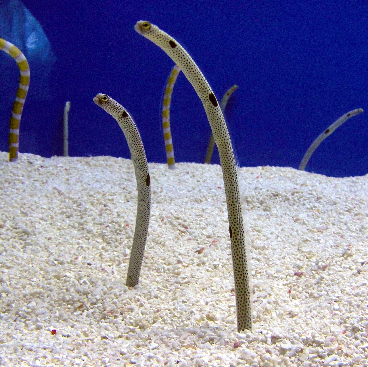
Garden Eel

Nudibranchs
"यहाँ चार्ट की गई" प्रजातियाँ हमारे संपादकों ने इस पृष्ठ के स्रोतों से सूचीबद्ध की हैं। गिनती GBIF occurrence रिकॉर्ड हैं: 1990 के बाद से चार्ट की गई स्थिति के लगभग 5 किमी के भीतर दर्ज अवलोकन, जो केवल हमारे कैटलॉग की प्रजातियों से मिलाए गए हैं। ये दिखाते हैं कि वहाँ क्या देखा गया है, यह वादा नहीं कि आप क्या देखेंगे।
फ़ोटोग्राफ़रों के लिए
Wide angle: ★★★★☆ · मैक्रो: ★★☆☆☆ (इस साइट पर हर तरह की फ़ोटोग्राफ़ी शैली के लिए संपादकों की 1–5 रेटिंग)