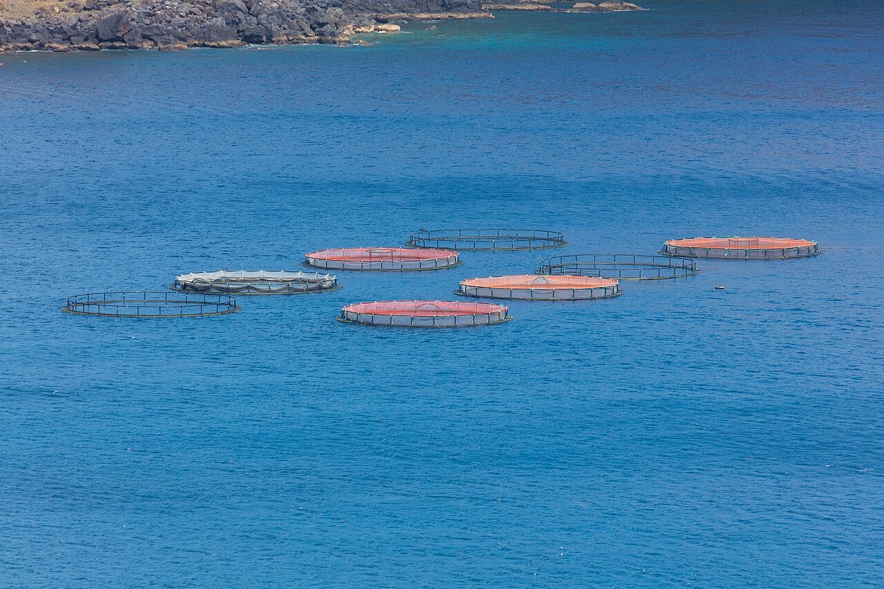
Ponta de Sao Lourenco
Kedalaman adalah rentang dari bagian teratas lokasi hingga maksimum biasanya; "sertifikasi yang disarankan" adalah level agen arus utama yang biasanya diminta operator, bukan aturan hukum. Arus dan visibilitas berubah setiap hari, jadi anggap semua ini sebagai rentang perencanaan.
Madeira's eastern peninsula trails off into the Atlantic as a line of bare volcanic ridges, and the seabed continues the same geometry: dykes, arches and boulder chaos washed by clean oceanic water. Fish traffic is busier here than on the sheltered coast (schools of bogue and bream, hunting jacks and barracuda, big stingrays in the sand channels) because the point catches whatever the open sea pushes past. Conditions decide everything; on calm days it is the island's most scenic diving, and when swell runs the boats simply go elsewhere.
Momen yang Anda nantikan: Raw volcanic topography, pelagic traffic at the point, uncrowded sites
Topografi: Dramatic volcanic ridges, arches and boulder fields at the island's eastern tip
Entri: Boat dives from Machico or Canical along Madeira's exposed eastern peninsula; sites are chosen to match the day's swell.
Ketahui sebelum kamu nyebur
Bahaya: Exposure to swell and current; entries and exits can be sporty in anything but calm weather.
Konservasi: The peninsula and surrounding waters are protected landscape; anchoring is restricted.
Siapa yang akan kamu temui
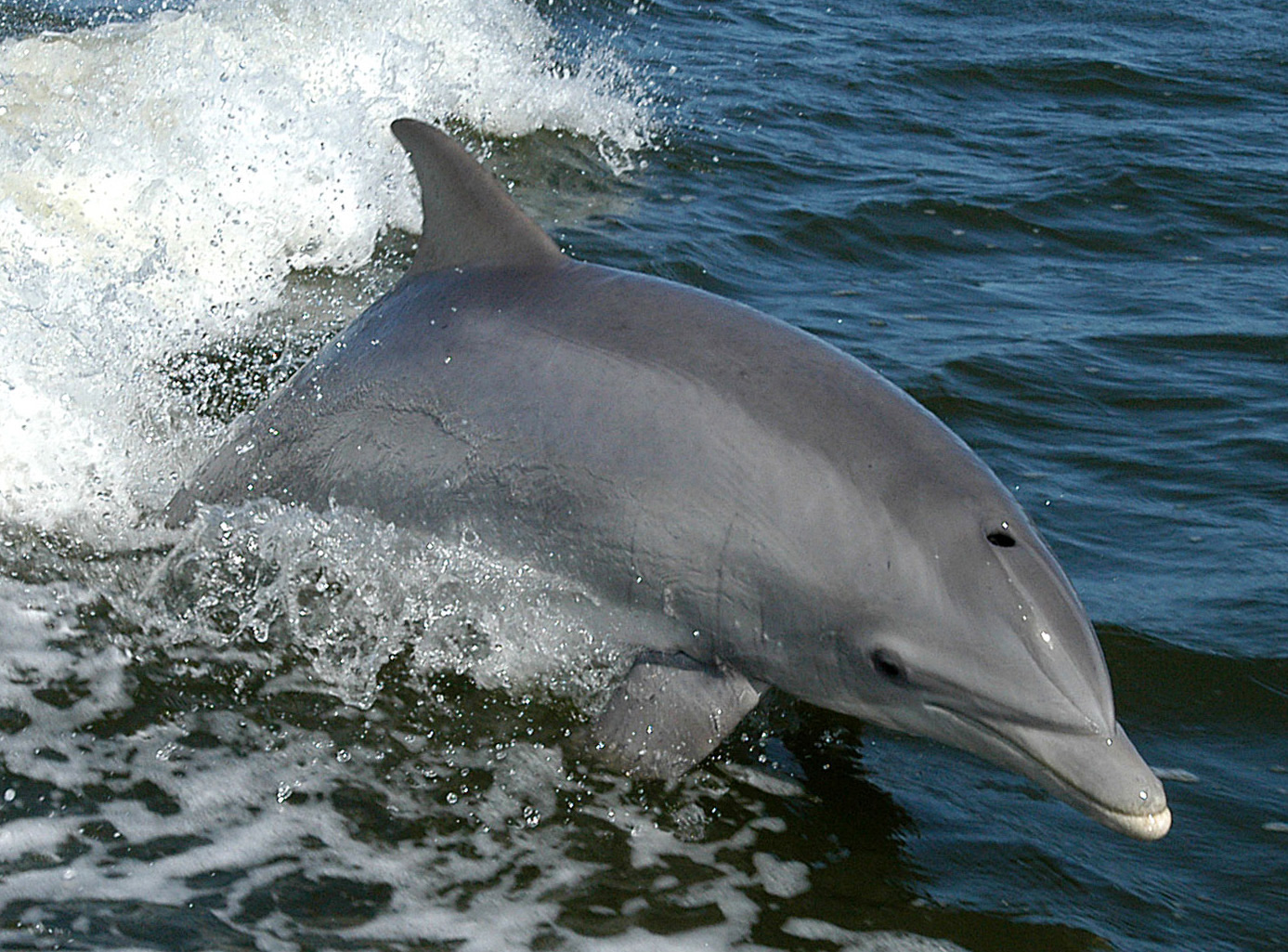
Bottlenose Dolphin
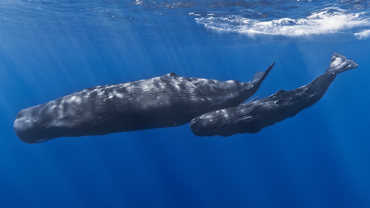
Sperm Whale
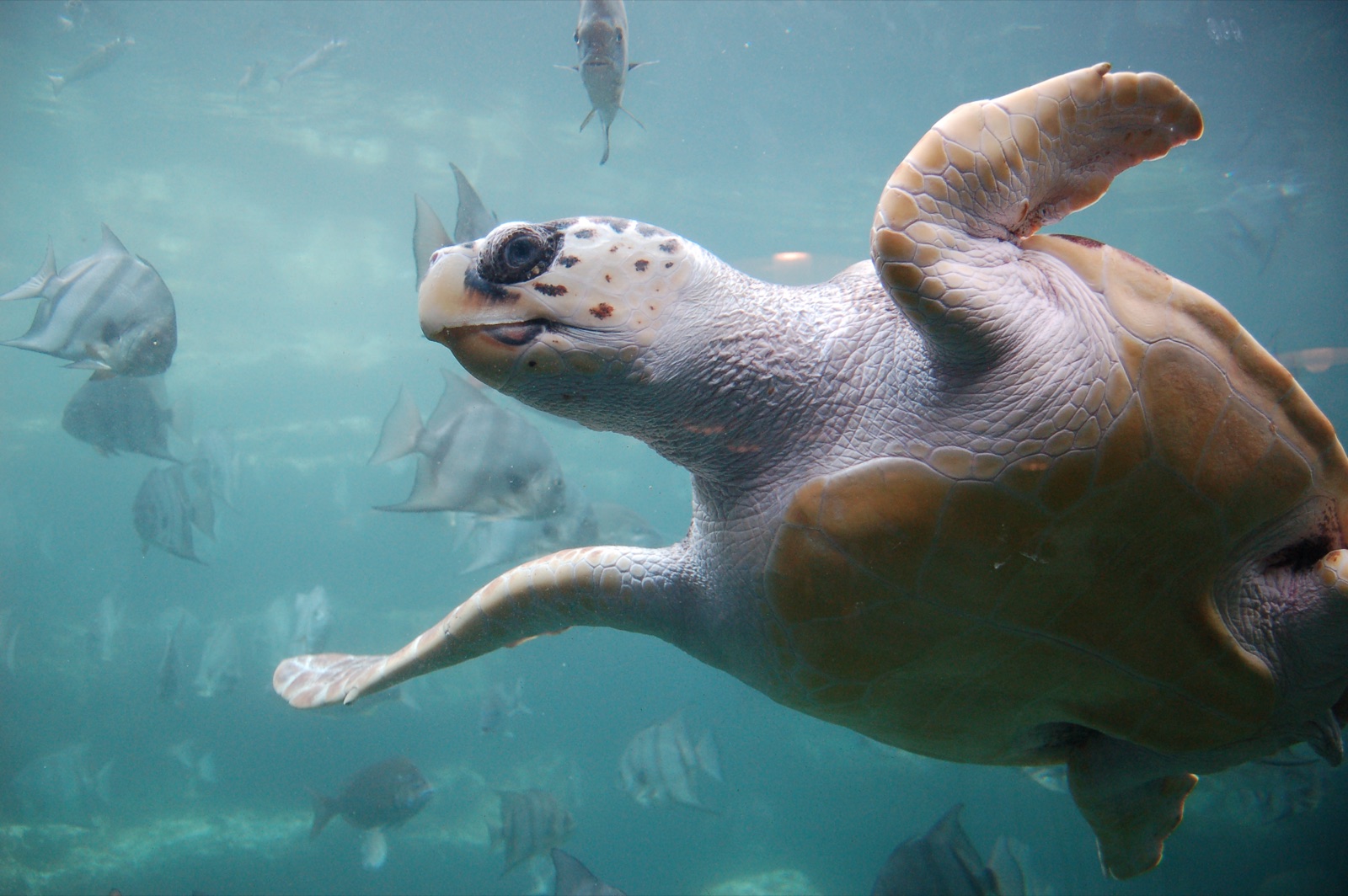
Loggerhead Turtle
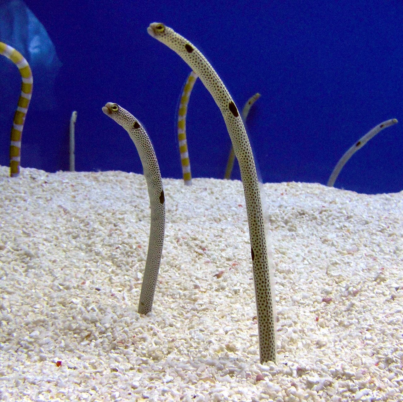
Garden Eel

Nudibranchs
Spesies yang "Terpetakan di sini" dicantumkan oleh editor kami dari sumber-sumber di halaman ini. Jumlahnya merupakan catatan kemunculan GBIF: observasi yang dicatat dalam radius sekitar 5 km dari posisi yang terpetakan sejak 1990, dicocokkan hanya dengan spesies dalam katalog kami. Data ini menunjukkan apa yang pernah terlihat di sana, bukan jaminan apa yang akan Anda temukan.
Untuk fotografer
Wide angle: ★★★★☆ · Makro: ★★☆☆☆ (penilaian 1–5 dari editor tentang apa yang ditawarkan lokasi ini untuk setiap gaya pemotretan)