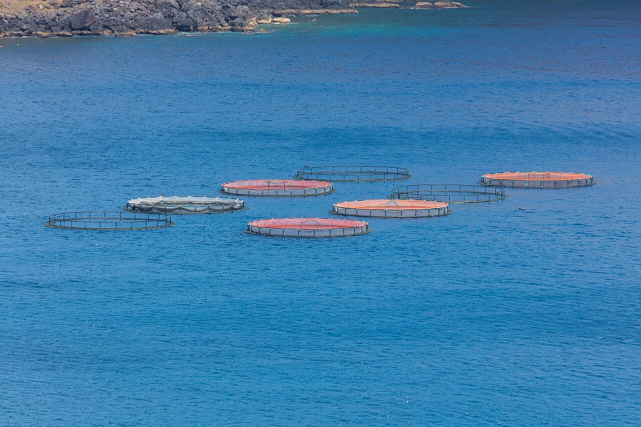
Ponta de Sao Lourenco
水深はサイト上部から通常の最大深度までの範囲です。「推奨資格」は多くのオペレーターが求めるメインストリームエージェンシーのレベルであり、法的な義務ではありません。潮流と透明度は日々変わるため、ここに記載の数値はあくまで計画のための目安としてお使いください。
Madeira's eastern peninsula trails off into the Atlantic as a line of bare volcanic ridges, and the seabed continues the same geometry: dykes, arches and boulder chaos washed by clean oceanic water. Fish traffic is busier here than on the sheltered coast (schools of bogue and bream, hunting jacks and barracuda, big stingrays in the sand channels) because the point catches whatever the open sea pushes past. Conditions decide everything; on calm days it is the island's most scenic diving, and when swell runs the boats simply go elsewhere.
その瞬間のために: Raw volcanic topography, pelagic traffic at the point, uncrowded sites
地形: Dramatic volcanic ridges, arches and boulder fields at the island's eastern tip
エントリー: Boat dives from Machico or Canical along Madeira's exposed eastern peninsula; sites are chosen to match the day's swell.
エントリー前に知っておこう
危険生物・リスク: Exposure to swell and current; entries and exits can be sporty in anything but calm weather.
保全: The peninsula and surrounding waters are protected landscape; anchoring is restricted.
出会える生物
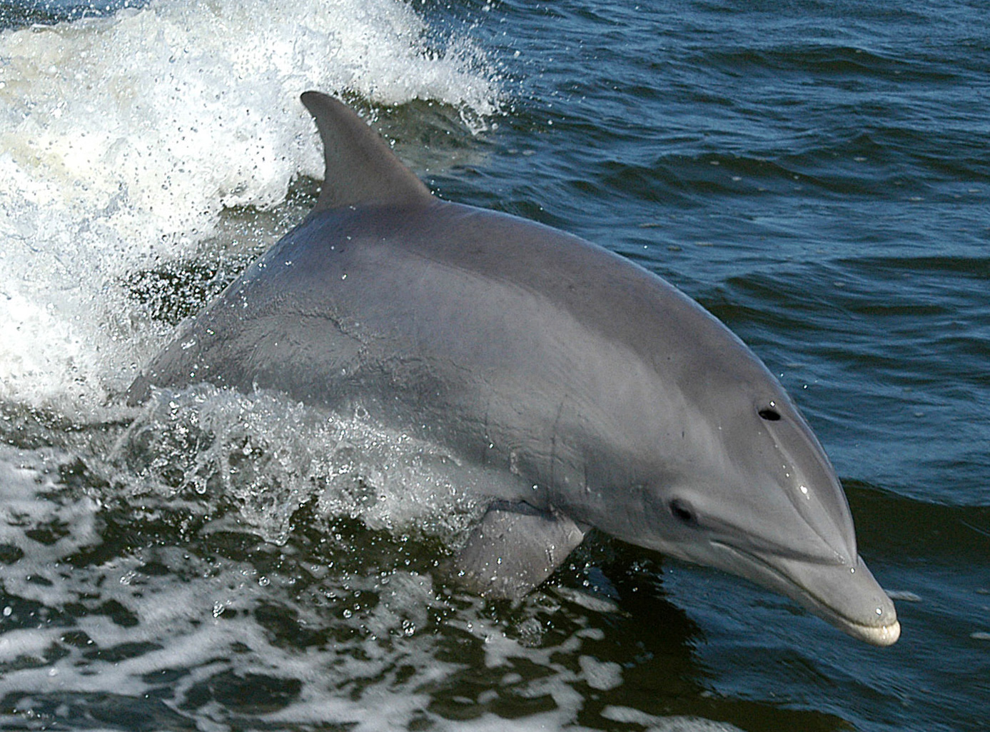
Bottlenose Dolphin
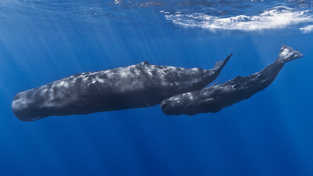
Sperm Whale
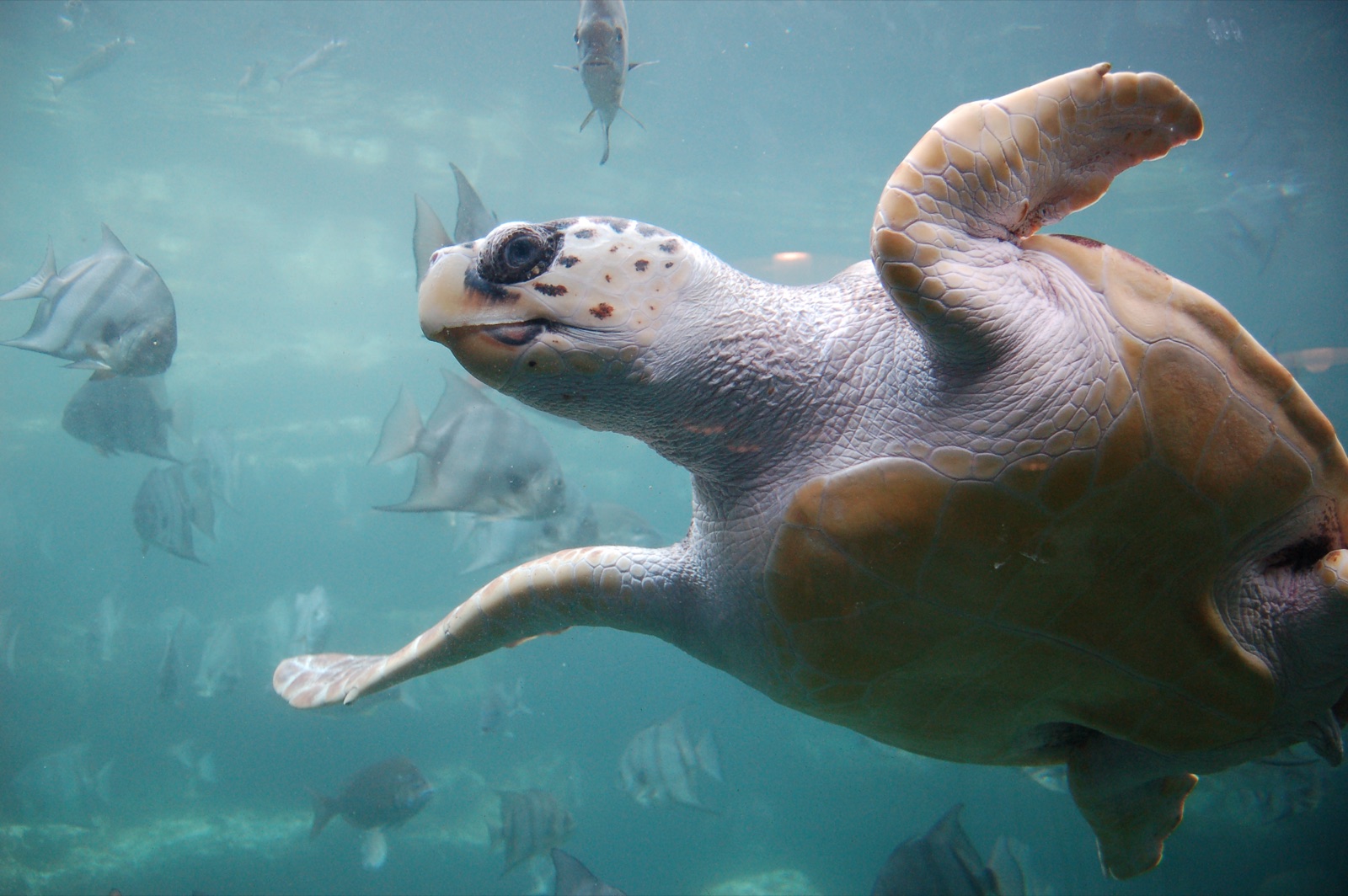
Loggerhead Turtle
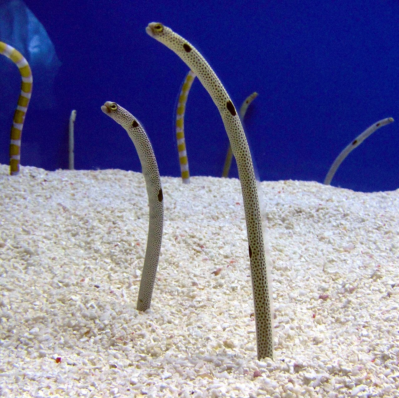
Garden Eel

Nudibranchs
「ここに記載」の生物種は、このページの情報源をもとに編集部が登録したものです。件数はGBIFの出現記録数で、1990年以降に登録地点から約5km以内で記録された観察データのうち、当サイトのカタログ掲載種に一致したものです。そこで実際に目撃された記録であり、潜水時の遭遇を保証するものではありません。
水中フォトグラファー向け
ワイドアングル: ★★★★☆ · マクロ: ★★☆☆☆ (各撮影スタイルに対するこのサイトの評価(編集部による1〜5点))