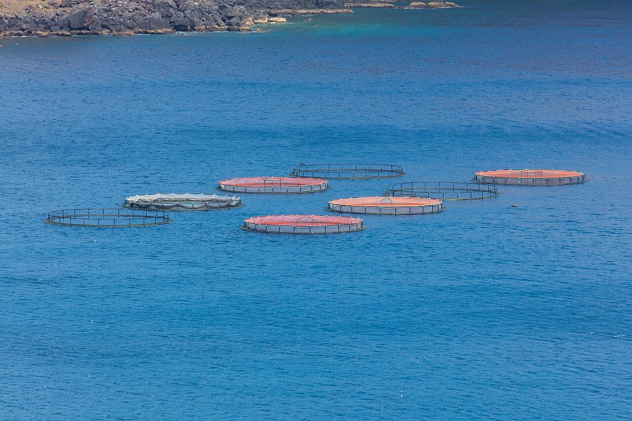
Ponta de Sao Lourenco
수심은 사이트 상단부터 통상적인 최대 수심까지의 범위이며, '권장 자격증'은 업체에서 통상적으로 요구하는 주요 인증 기관 기준이지 법적 규정이 아닙니다. 조류와 시야는 매일 달라지므로, 모든 정보는 계획 수립용 참고 범위로 활용하세요.
Madeira's eastern peninsula trails off into the Atlantic as a line of bare volcanic ridges, and the seabed continues the same geometry: dykes, arches and boulder chaos washed by clean oceanic water. Fish traffic is busier here than on the sheltered coast (schools of bogue and bream, hunting jacks and barracuda, big stingrays in the sand channels) because the point catches whatever the open sea pushes past. Conditions decide everything; on calm days it is the island's most scenic diving, and when swell runs the boats simply go elsewhere.
바로 그 순간: Raw volcanic topography, pelagic traffic at the point, uncrowded sites
지형: Dramatic volcanic ridges, arches and boulder fields at the island's eastern tip
진입: Boat dives from Machico or Canical along Madeira's exposed eastern peninsula; sites are chosen to match the day's swell.
입수 전에 알아두세요
위험 요소: Exposure to swell and current; entries and exits can be sporty in anything but calm weather.
보존: The peninsula and surrounding waters are protected landscape; anchoring is restricted.
만날 수 있는 생물
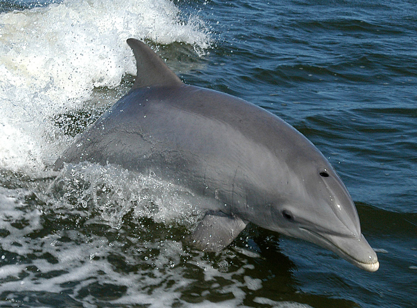
Bottlenose Dolphin
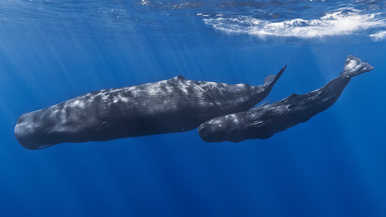
Sperm Whale
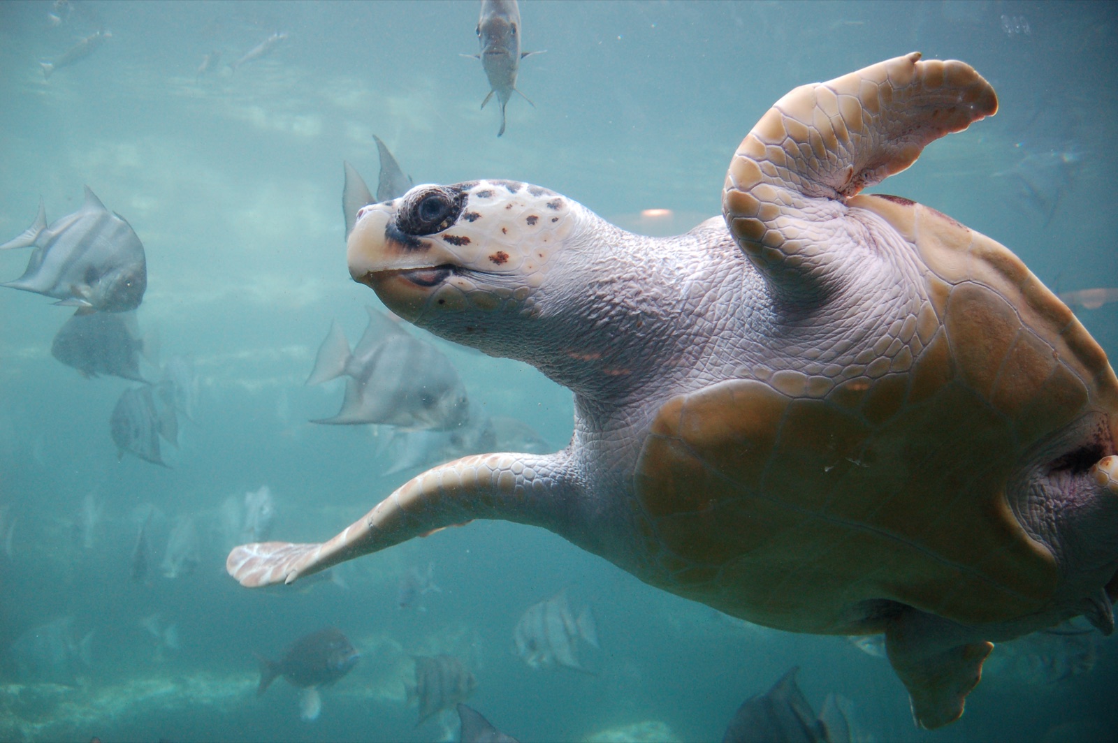
Loggerhead Turtle
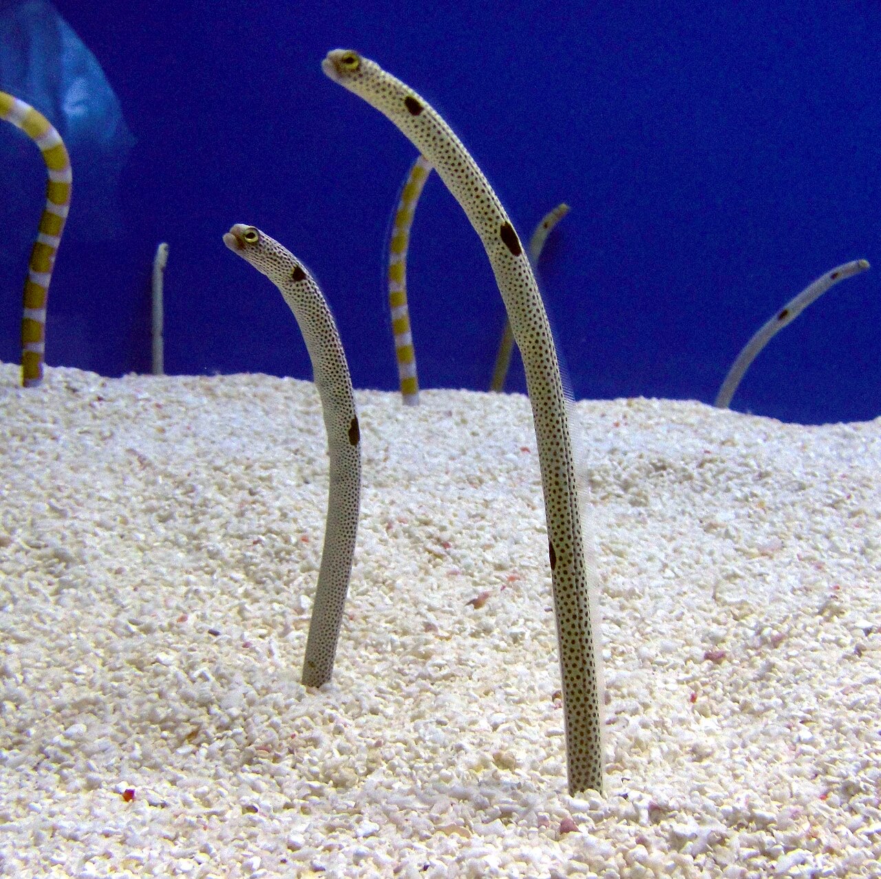
Garden Eel

Nudibranchs
"여기에 등록된" 생물종은 편집팀이 이 페이지의 출처를 바탕으로 목록화한 종입니다. 표시된 수치는 GBIF 출현 기록으로, 1990년 이후 등록 위치 기준 약 5km 이내에서 관찰·기록된 건수이며, 저희 카탈로그에 수록된 종에 한해 대조한 결과입니다. 실제로 목격된 사례를 보여주는 것이며, 현장에서 반드시 볼 수 있다는 보장은 아닙니다.
수중 촬영자를 위한 정보
광각: ★★★★☆ · 마크로: ★★☆☆☆ (각 촬영 스타일에 대한 에디터의 1–5점 평가)