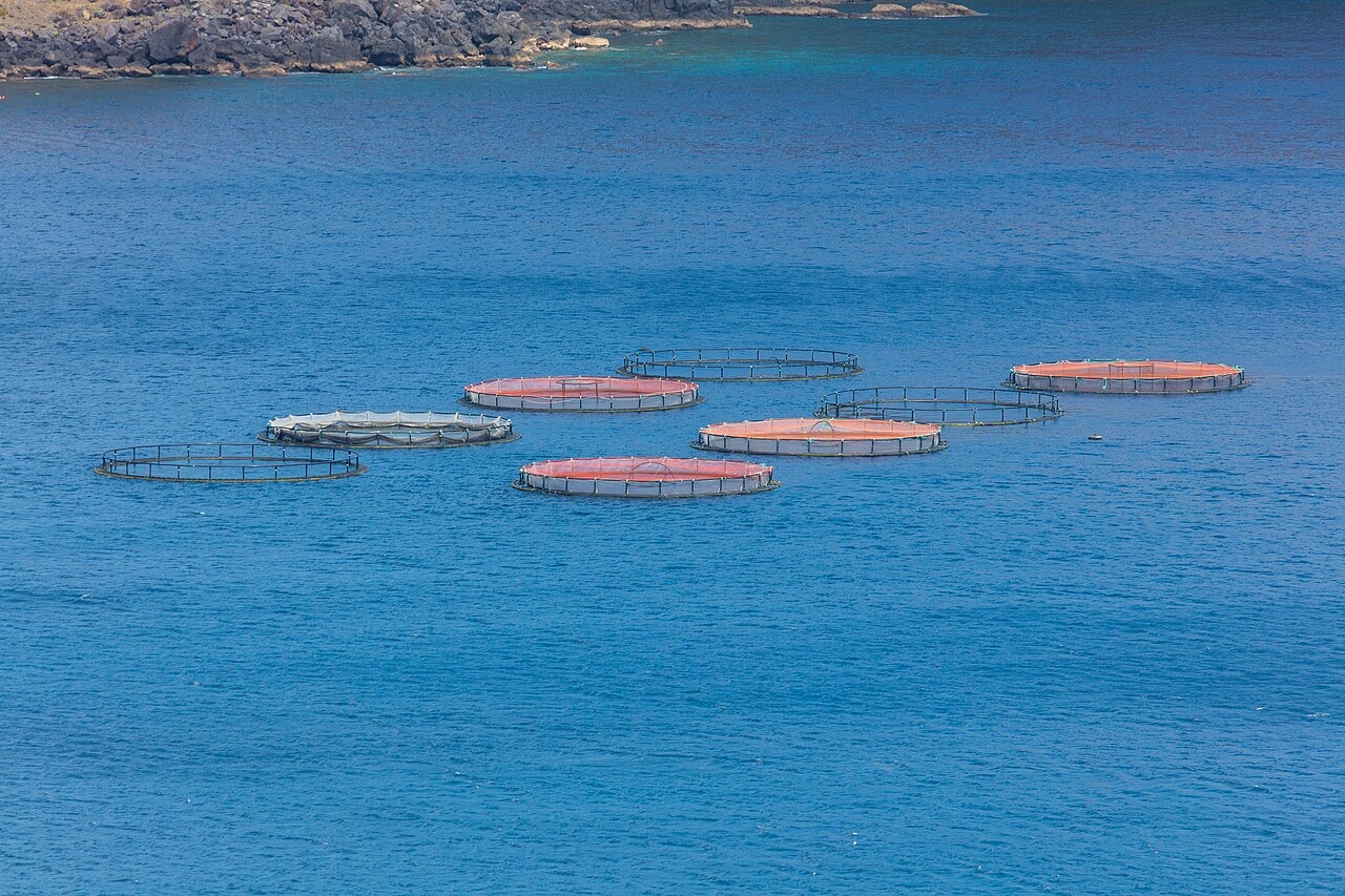
Ponta de Sao Lourenco
De diepte is de range van de bovenkant van de site tot het gebruikelijke maximum; "aanbevolen brevet" is het niveau dat operators doorgaans vragen volgens de grote opleidingsorganisaties, geen wettelijke verplichting. Stromingen en zicht veranderen dagelijks, dus beschouw alles hier als planningsranges.
Madeira's eastern peninsula trails off into the Atlantic as a line of bare volcanic ridges, and the seabed continues the same geometry: dykes, arches and boulder chaos washed by clean oceanic water. Fish traffic is busier here than on the sheltered coast (schools of bogue and bream, hunting jacks and barracuda, big stingrays in the sand channels) because the point catches whatever the open sea pushes past. Conditions decide everything; on calm days it is the island's most scenic diving, and when swell runs the boats simply go elsewhere.
Het moment waar je voor komt: Raw volcanic topography, pelagic traffic at the point, uncrowded sites
Topografie: Dramatic volcanic ridges, arches and boulder fields at the island's eastern tip
Instap: Boat dives from Machico or Canical along Madeira's exposed eastern peninsula; sites are chosen to match the day's swell.
Weet dit voordat je het water in gaat
Gevaren: Exposure to swell and current; entries and exits can be sporty in anything but calm weather.
Behoud: The peninsula and surrounding waters are protected landscape; anchoring is restricted.
Wie je tegenkomt
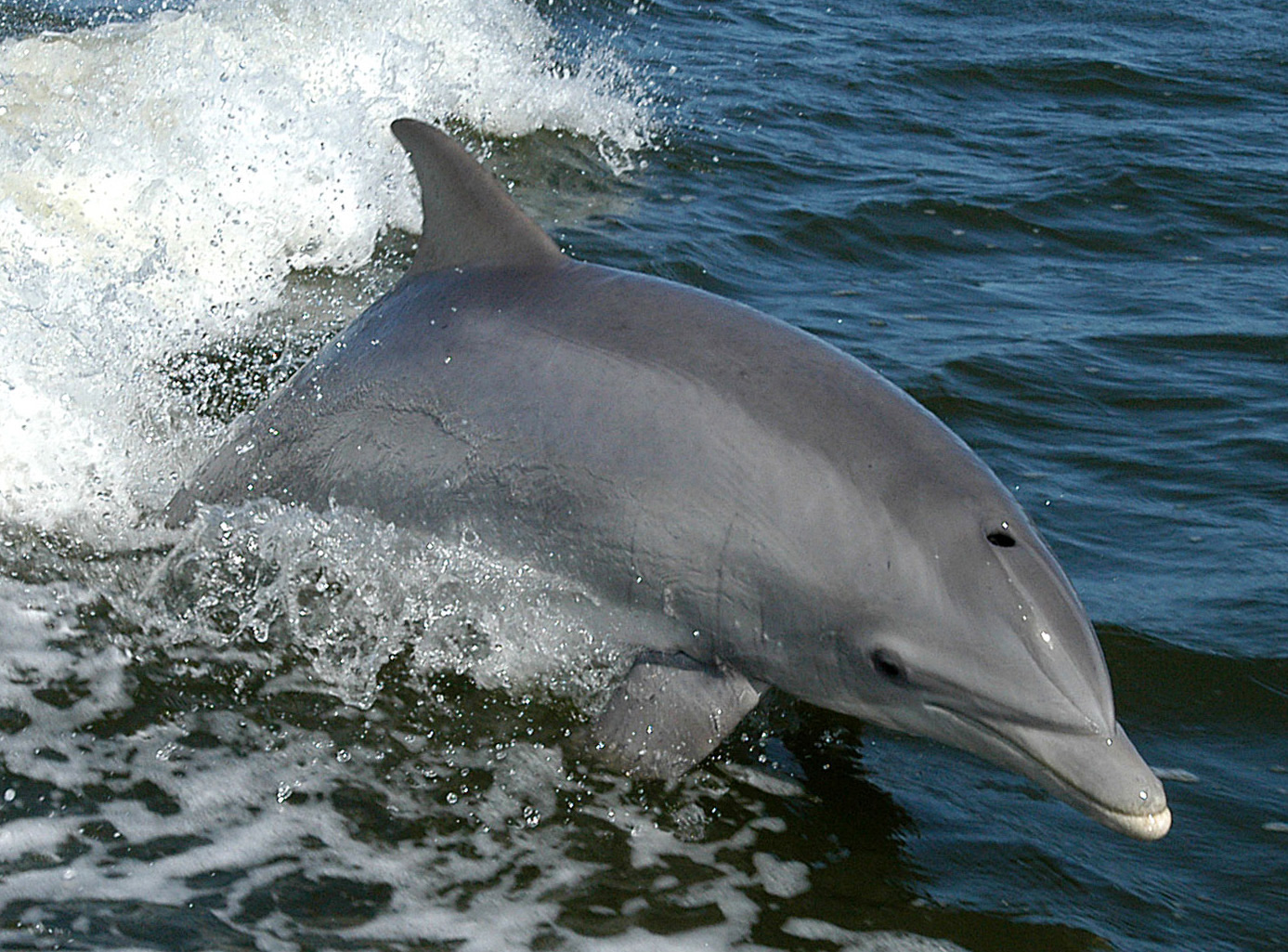
Bottlenose Dolphin
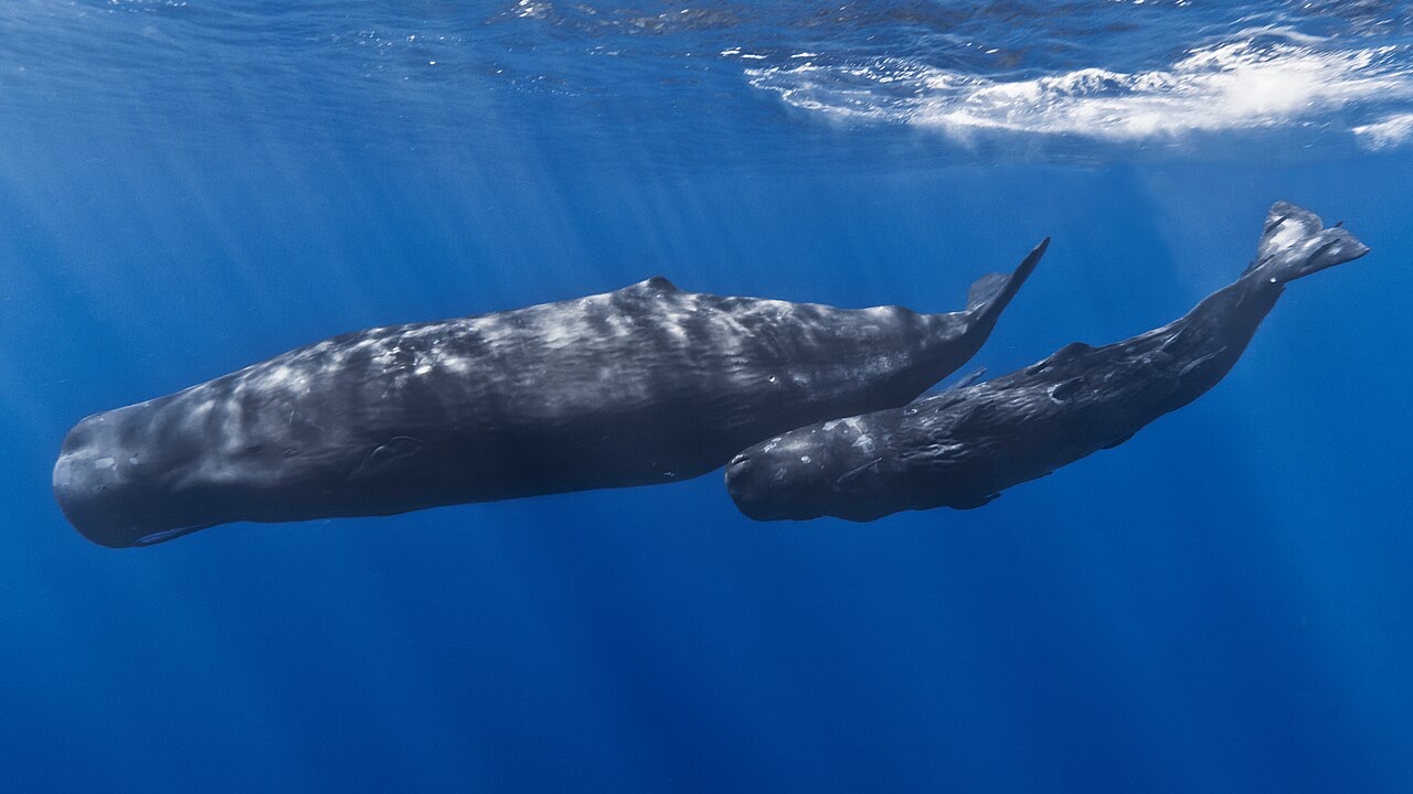
Sperm Whale
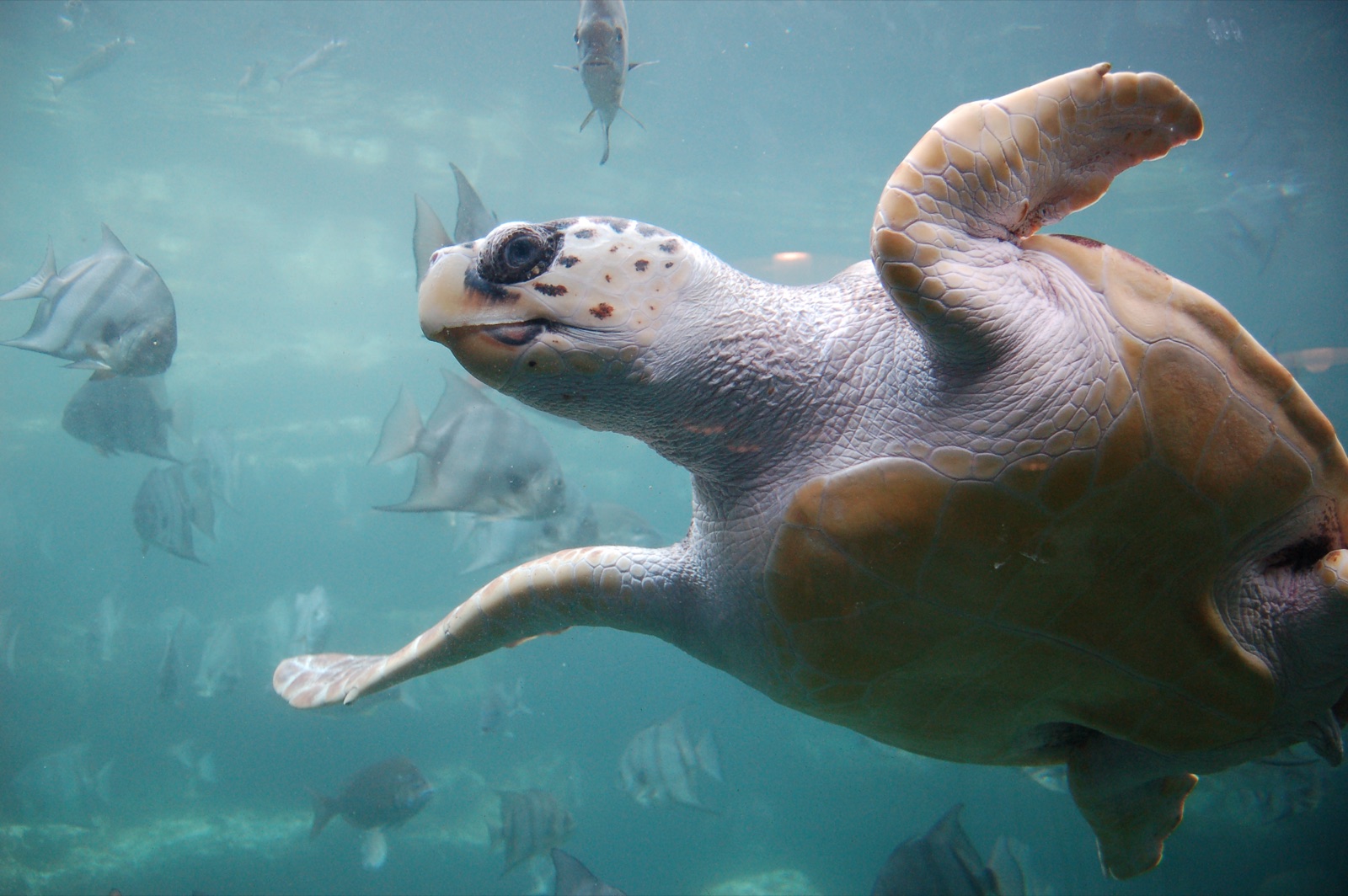
Loggerhead Turtle
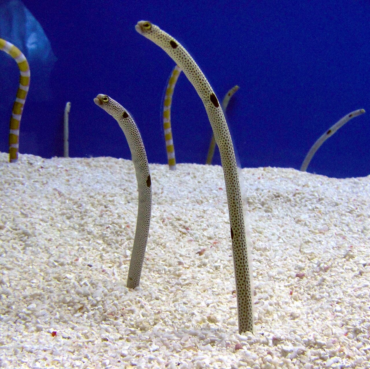
Garden Eel

Nudibranchs
"Hier in kaart gebracht" soorten zijn door onze redacteurs toegevoegd op basis van de bronnen op deze pagina. Aantallen zijn GBIF-waarnemingsrecords: observaties vastgelegd binnen ongeveer 5 km van de aangegeven positie sinds 1990, uitsluitend vergeleken met de soorten in onze catalogus. Ze laten zien wat er is waargenomen, niet wat je zeker zult zien.
Voor fotografen
Groothoek: ★★★★☆ · Macro: ★★☆☆☆ (redacteursbeoordeling 1–5 van wat deze locatie biedt voor elke fotostijl)