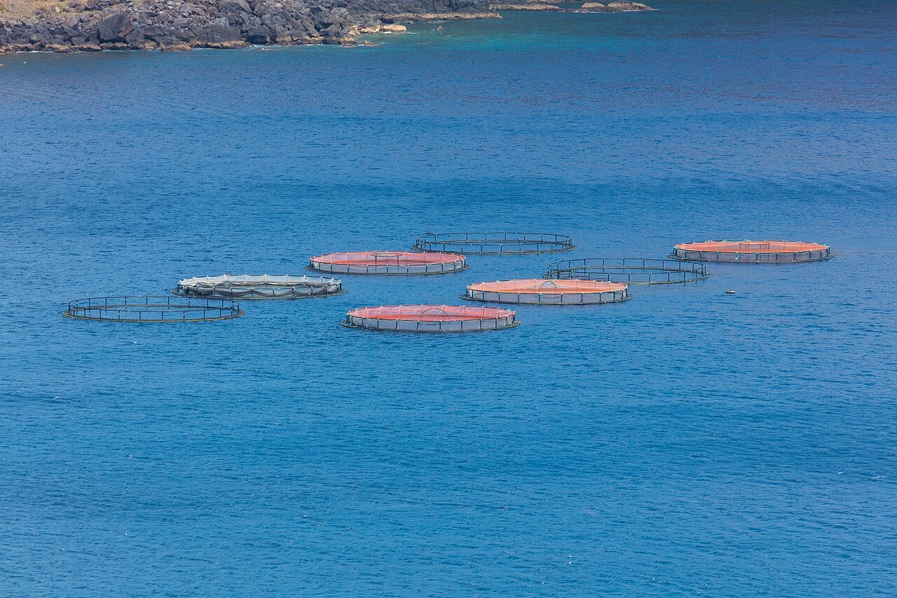
Ponta de Sao Lourenco
Глубина указана в диапазоне от верхней точки объекта до обычного максимума; «рекомендуемый уровень сертификации» означает стандарт крупных агентств, который операторы обычно запрашивают, а не юридическое требование. Течения и видимость меняются ежедневно, поэтому воспринимайте все данные здесь как ориентировочные.
Madeira's eastern peninsula trails off into the Atlantic as a line of bare volcanic ridges, and the seabed continues the same geometry: dykes, arches and boulder chaos washed by clean oceanic water. Fish traffic is busier here than on the sheltered coast (schools of bogue and bream, hunting jacks and barracuda, big stingrays in the sand channels) because the point catches whatever the open sea pushes past. Conditions decide everything; on calm days it is the island's most scenic diving, and when swell runs the boats simply go elsewhere.
Момент, ради которого вы приехали: Raw volcanic topography, pelagic traffic at the point, uncrowded sites
Рельеф дна: Dramatic volcanic ridges, arches and boulder fields at the island's eastern tip
Вход: Boat dives from Machico or Canical along Madeira's exposed eastern peninsula; sites are chosen to match the day's swell.
Узнай до того, как войдёшь в воду
Опасности: Exposure to swell and current; entries and exits can be sporty in anything but calm weather.
Охрана природы: The peninsula and surrounding waters are protected landscape; anchoring is restricted.
Кого вы встретите
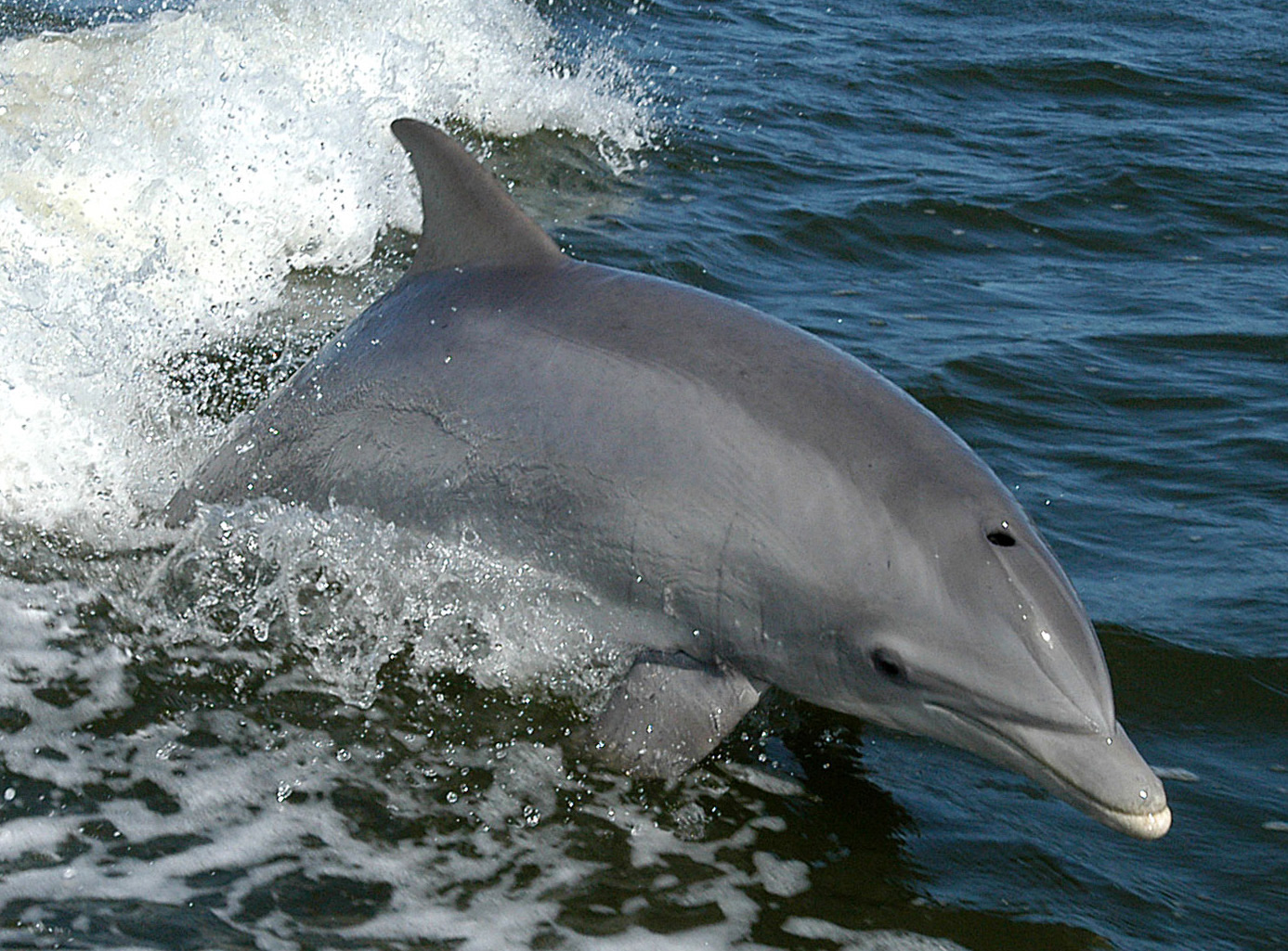
Bottlenose Dolphin
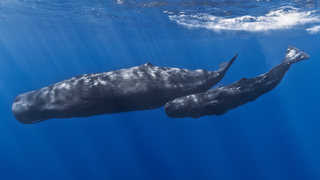
Sperm Whale
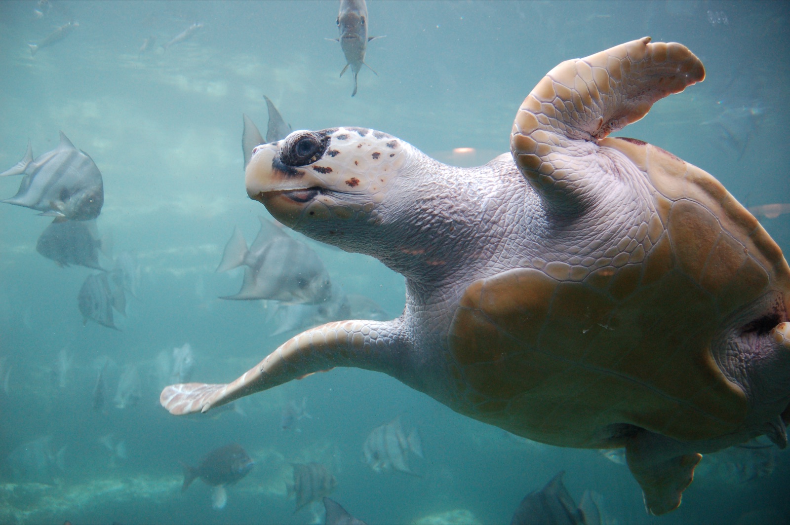
Loggerhead Turtle
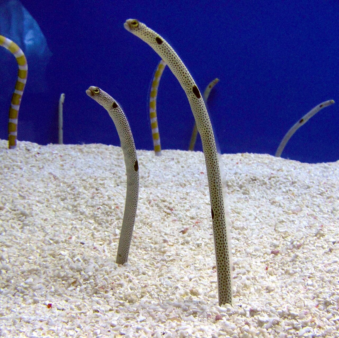
Garden Eel

Nudibranchs
Виды, отмеченные здесь как «занесённые в каталог», добавлены нашими редакторами на основе источников, указанных на этой странице. Счётчики отражают записи о наблюдениях в GBIF: наблюдения, зафиксированные в радиусе примерно 5 км от указанной позиции начиная с 1990 года, сопоставленные только с видами из нашего каталога. Они показывают, что там видели, а не гарантируют, что вы это увидите.
Для фотографов
Широкий угол: ★★★★☆ · Макро: ★★☆☆☆ (редакционная оценка от 1 до 5 того, что этот сайт даёт каждому стилю съёмки)