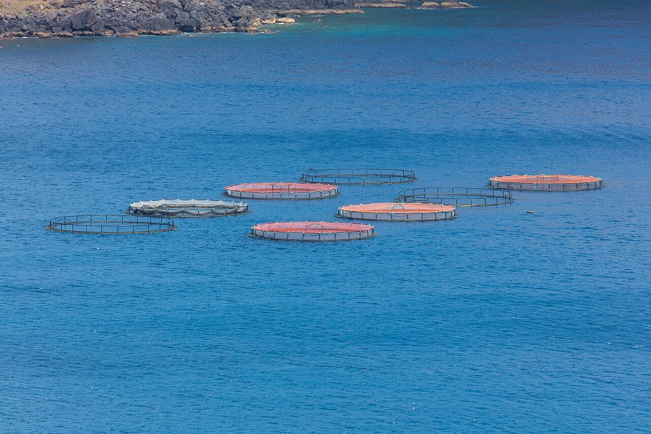
Ponta de Sao Lourenco
Độ sâu là khoảng từ đỉnh của địa điểm đến mức tối đa thông thường; "chứng chỉ được khuyến nghị" là cấp độ mà các đơn vị điều hành thuộc tổ chức đào tạo chính thống thường yêu cầu, không phải quy định pháp lý. Dòng chảy và tầm nhìn thay đổi theo ngày, vì vậy hãy xem mọi thứ ở đây như các phạm vi tham khảo khi lập kế hoạch.
Madeira's eastern peninsula trails off into the Atlantic as a line of bare volcanic ridges, and the seabed continues the same geometry: dykes, arches and boulder chaos washed by clean oceanic water. Fish traffic is busier here than on the sheltered coast (schools of bogue and bream, hunting jacks and barracuda, big stingrays in the sand channels) because the point catches whatever the open sea pushes past. Conditions decide everything; on calm days it is the island's most scenic diving, and when swell runs the boats simply go elsewhere.
Khoảnh khắc bạn đến vì nó: Raw volcanic topography, pelagic traffic at the point, uncrowded sites
Địa hình: Dramatic volcanic ridges, arches and boulder fields at the island's eastern tip
Điểm vào: Boat dives from Machico or Canical along Madeira's exposed eastern peninsula; sites are chosen to match the day's swell.
Biết trước khi xuống nước
Nguy hiểm cần lưu ý: Exposure to swell and current; entries and exits can be sporty in anything but calm weather.
Bảo tồn: The peninsula and surrounding waters are protected landscape; anchoring is restricted.
Bạn sẽ gặp ai
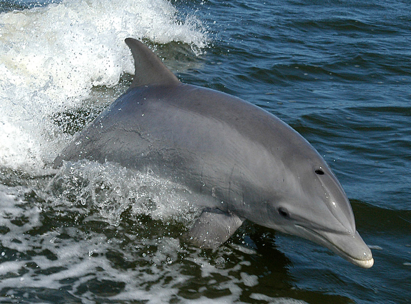
Bottlenose Dolphin
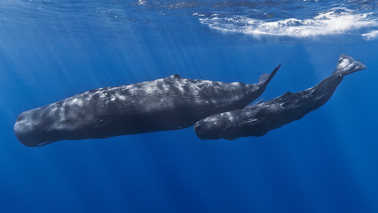
Sperm Whale
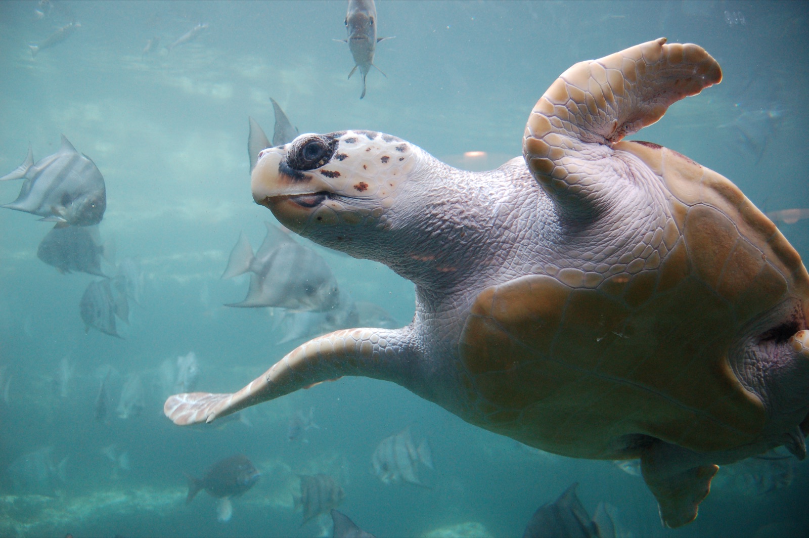
Loggerhead Turtle
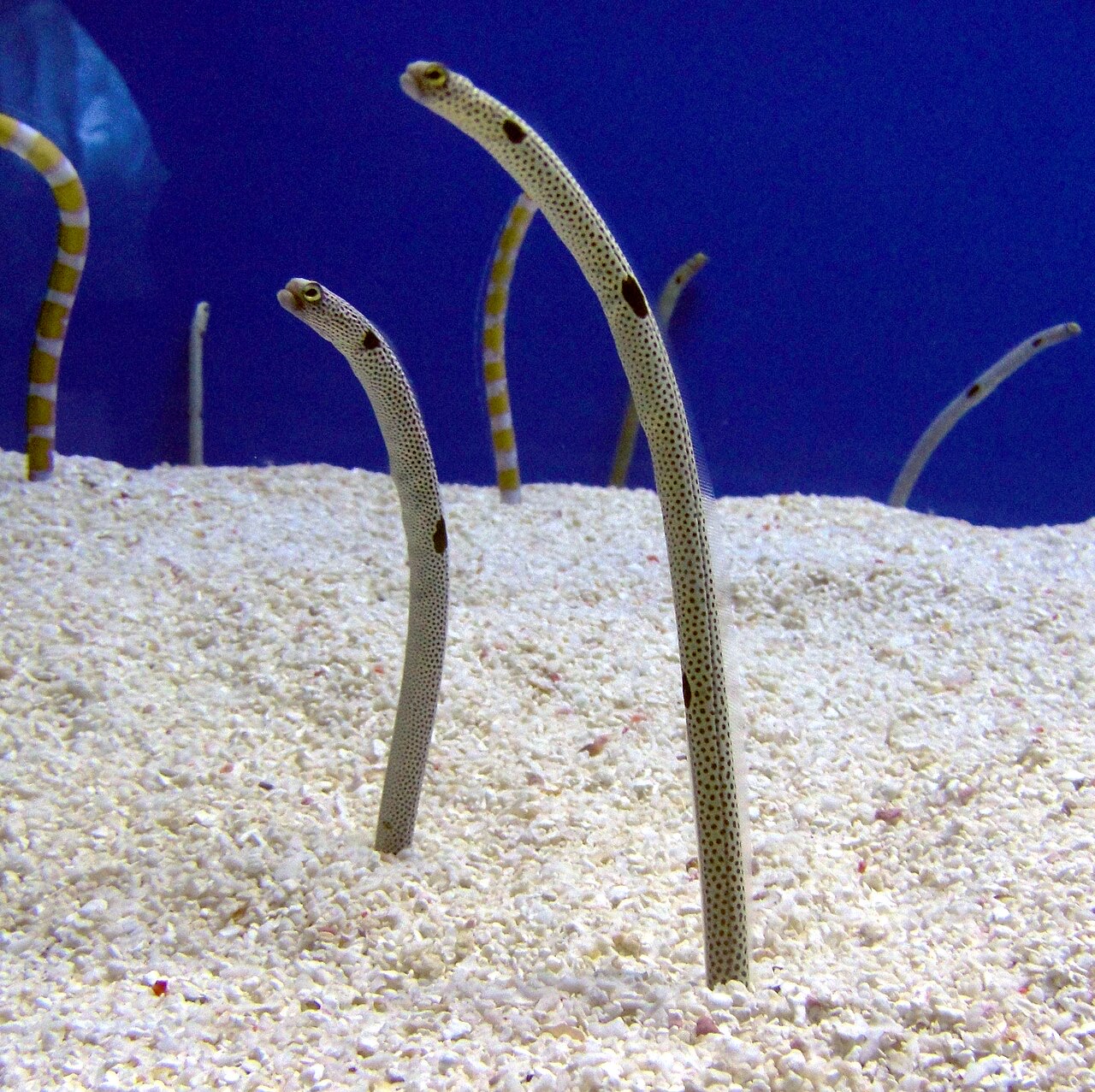
Garden Eel

Nudibranchs
Các loài "được ghi chép tại đây" do ban biên tập của chúng tôi tổng hợp từ các nguồn trên trang này. Số lượng là bản ghi xuất hiện từ GBIF: các quan sát được ghi nhận trong phạm vi khoảng 5 km tính từ vị trí đã ghi chép kể từ năm 1990, chỉ đối chiếu với các loài trong danh mục của chúng tôi. Chúng cho thấy những gì đã được nhìn thấy tại đó, không phải cam kết về những gì bạn sẽ thấy.
Dành cho thợ lặn chụp ảnh
Góc rộng: ★★★★☆ · Macro: ★★☆☆☆ (đánh giá 1–5 của biên tập viên về những gì địa điểm này mang lại cho từng phong cách chụp ảnh)