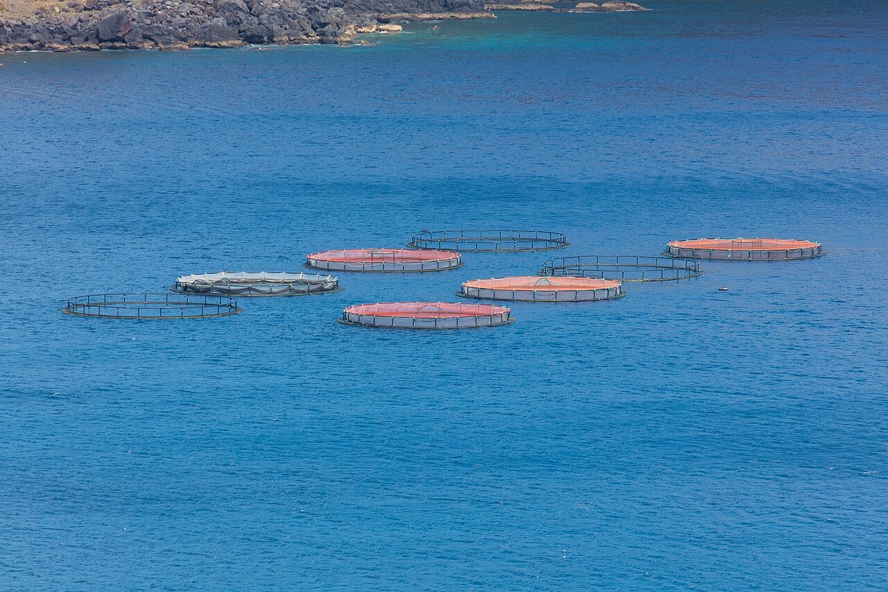
Ponta de Sao Lourenco
深度范围指从潜点顶部到通常最大深度;"建议认证等级"是运营商通常要求的主流机构等级,并非法律规定。水流和能见度每天都会变化,请将这里的所有信息视为规划参考范围。
Madeira's eastern peninsula trails off into the Atlantic as a line of bare volcanic ridges, and the seabed continues the same geometry: dykes, arches and boulder chaos washed by clean oceanic water. Fish traffic is busier here than on the sheltered coast (schools of bogue and bream, hunting jacks and barracuda, big stingrays in the sand channels) because the point catches whatever the open sea pushes past. Conditions decide everything; on calm days it is the island's most scenic diving, and when swell runs the boats simply go elsewhere.
您此行的高光时刻: Raw volcanic topography, pelagic traffic at the point, uncrowded sites
地形地貌: Dramatic volcanic ridges, arches and boulder fields at the island's eastern tip
入水方式: Boat dives from Machico or Canical along Madeira's exposed eastern peninsula; sites are chosen to match the day's swell.
入水前须知
危险因素: Exposure to swell and current; entries and exits can be sporty in anything but calm weather.
保育: The peninsula and surrounding waters are protected landscape; anchoring is restricted.
你会遇见谁
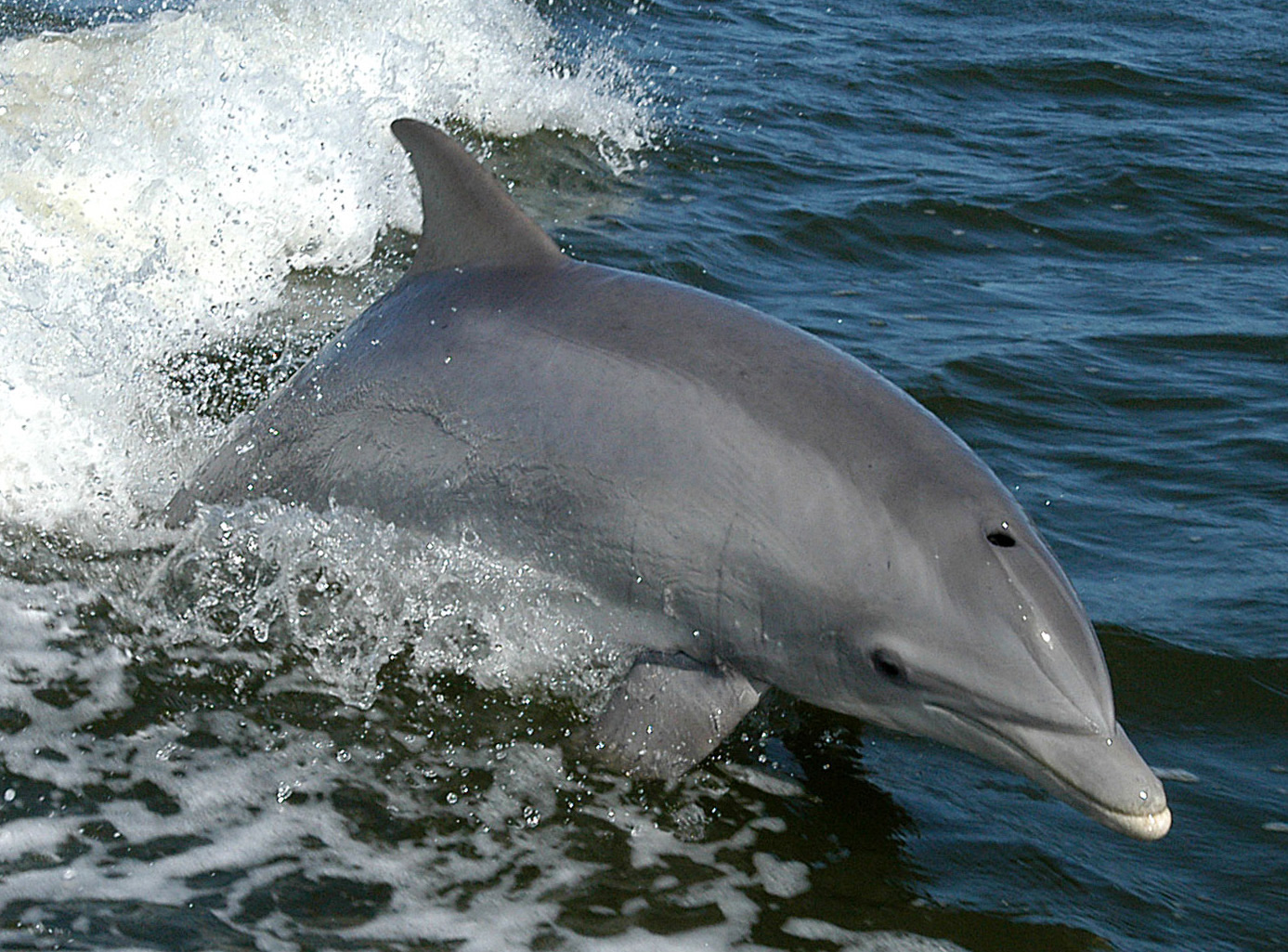
Bottlenose Dolphin
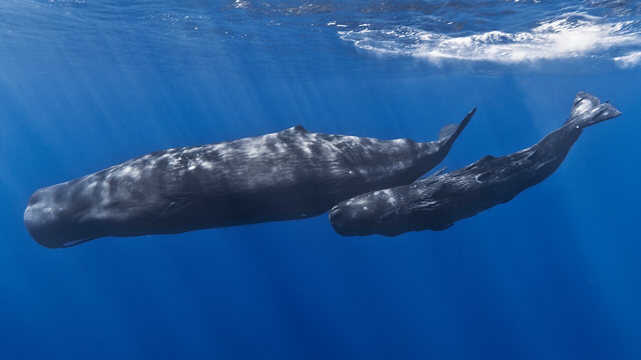
Sperm Whale
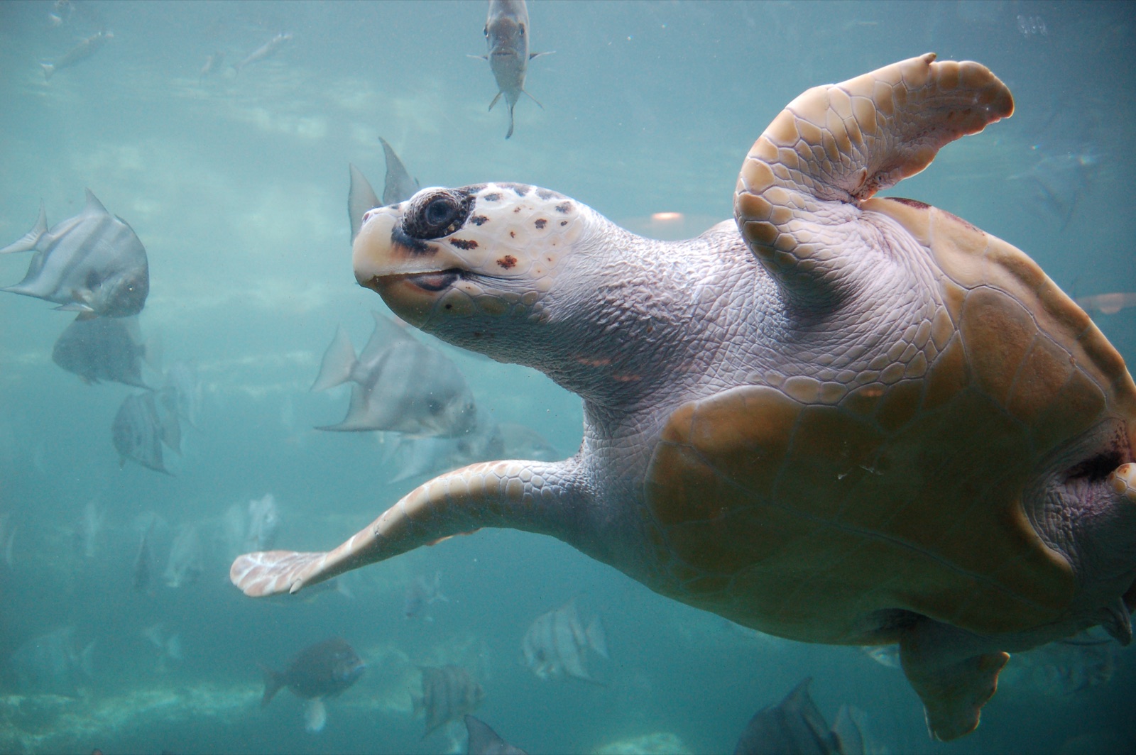
Loggerhead Turtle
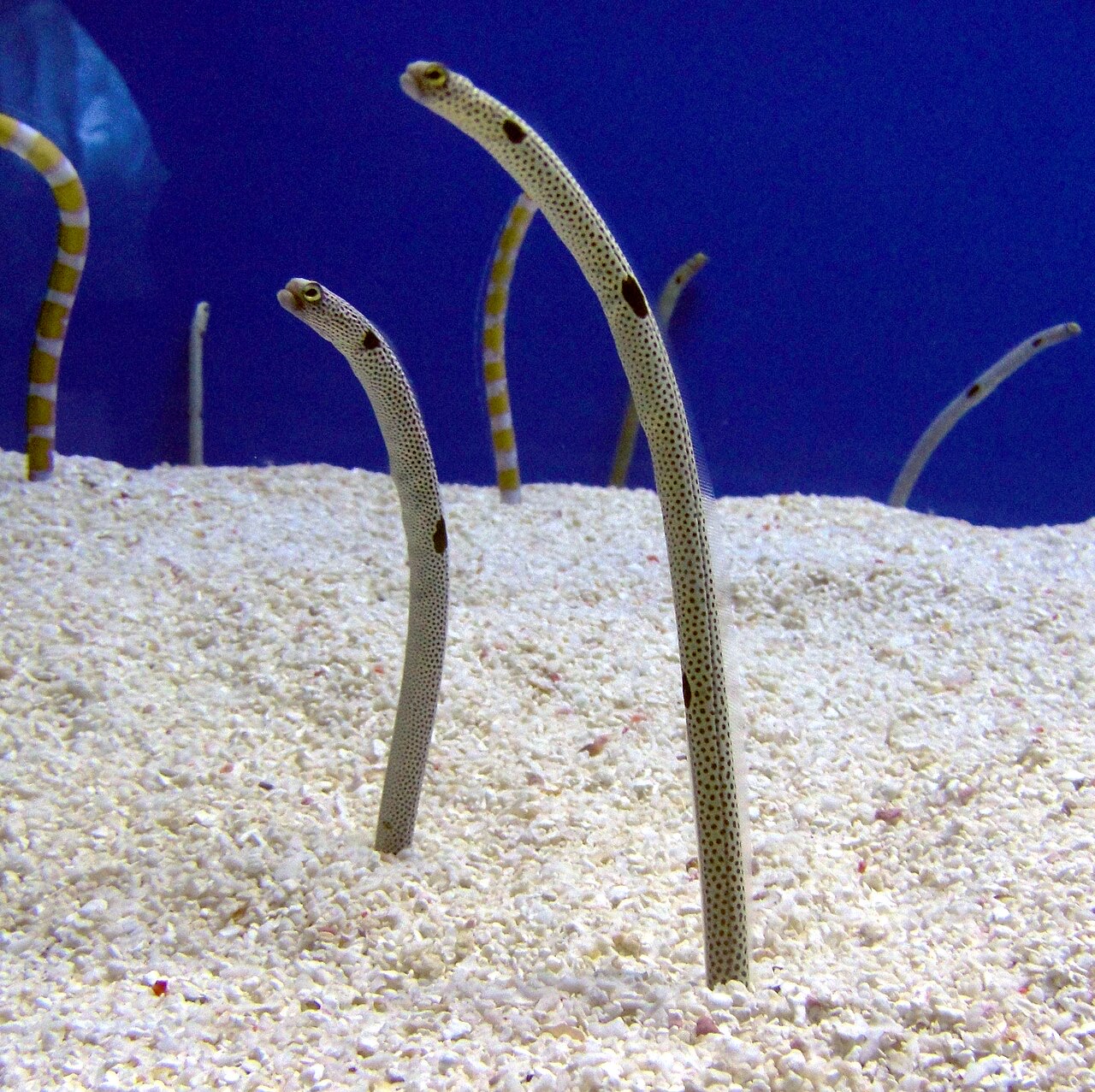
Garden Eel

Nudibranchs
"已标注于此"的物种由编辑团队从本页所列来源中整理收录。数量为GBIF出现记录数:即1990年以来在标注位置约5公里范围内记录的观测数据,仅与我们目录中的物种进行匹配。这些数据反映的是该地点的历史目击情况,并非对您此行所见的保证。
摄影师专区
广角: ★★★★☆ · 微距: ★★☆☆☆ (编辑对该潜点适合各类水下摄影风格的1–5分评级)