Sanganeb North Point
La profundidad es el rango desde la cima del punto de buceo hasta su máximo habitual; la "certificación recomendada" es el nivel que los operadores suelen pedir según las agencias principales, no una norma legal. Las corrientes y la visibilidad cambian a diario, así que trata todo esto como rangos de planificación.
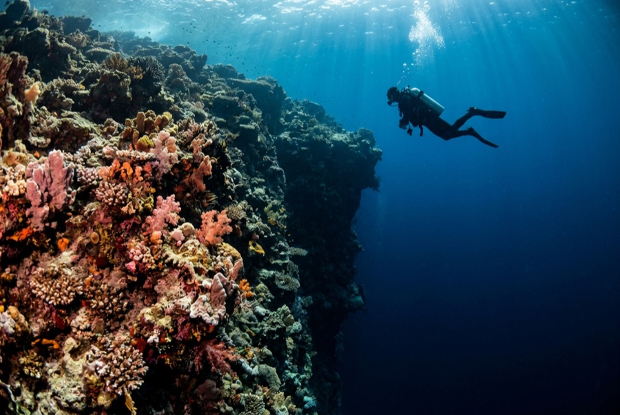
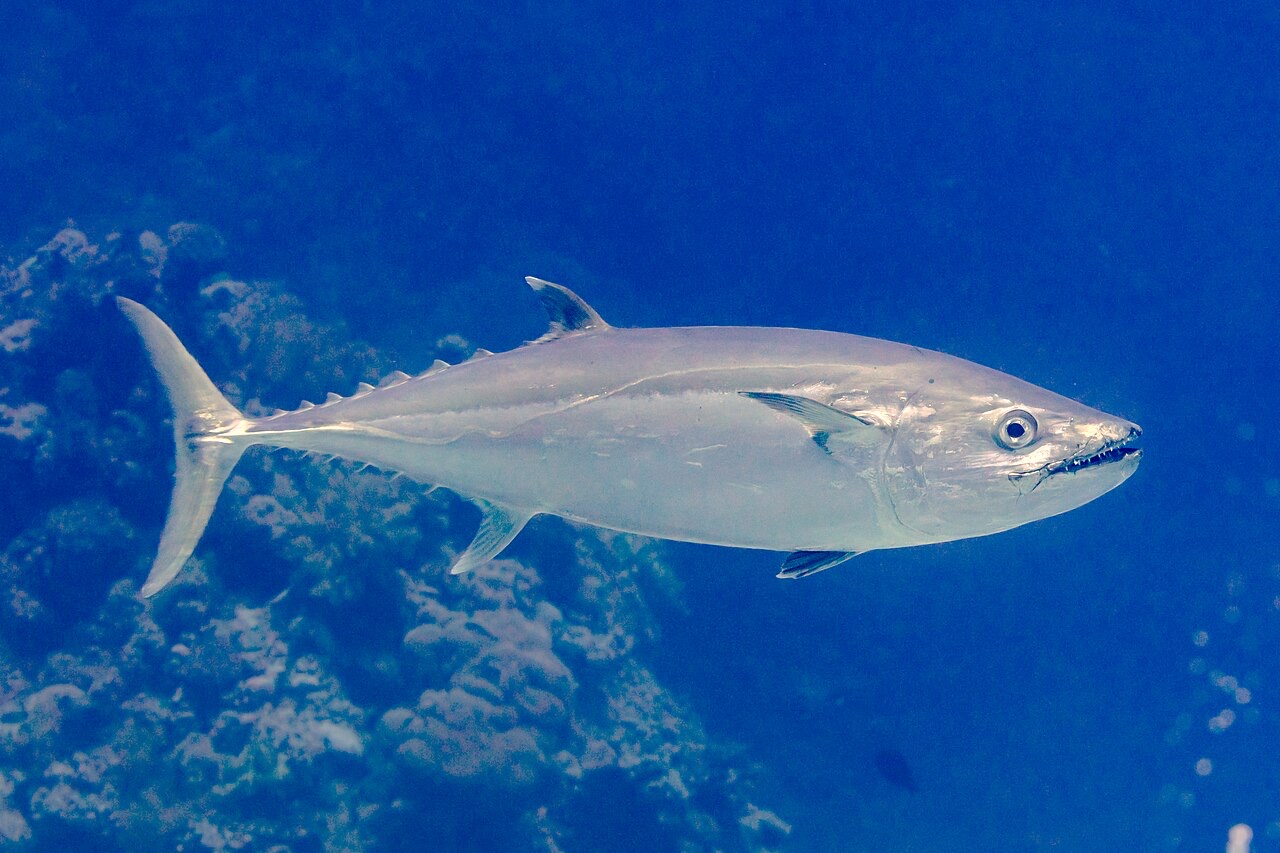
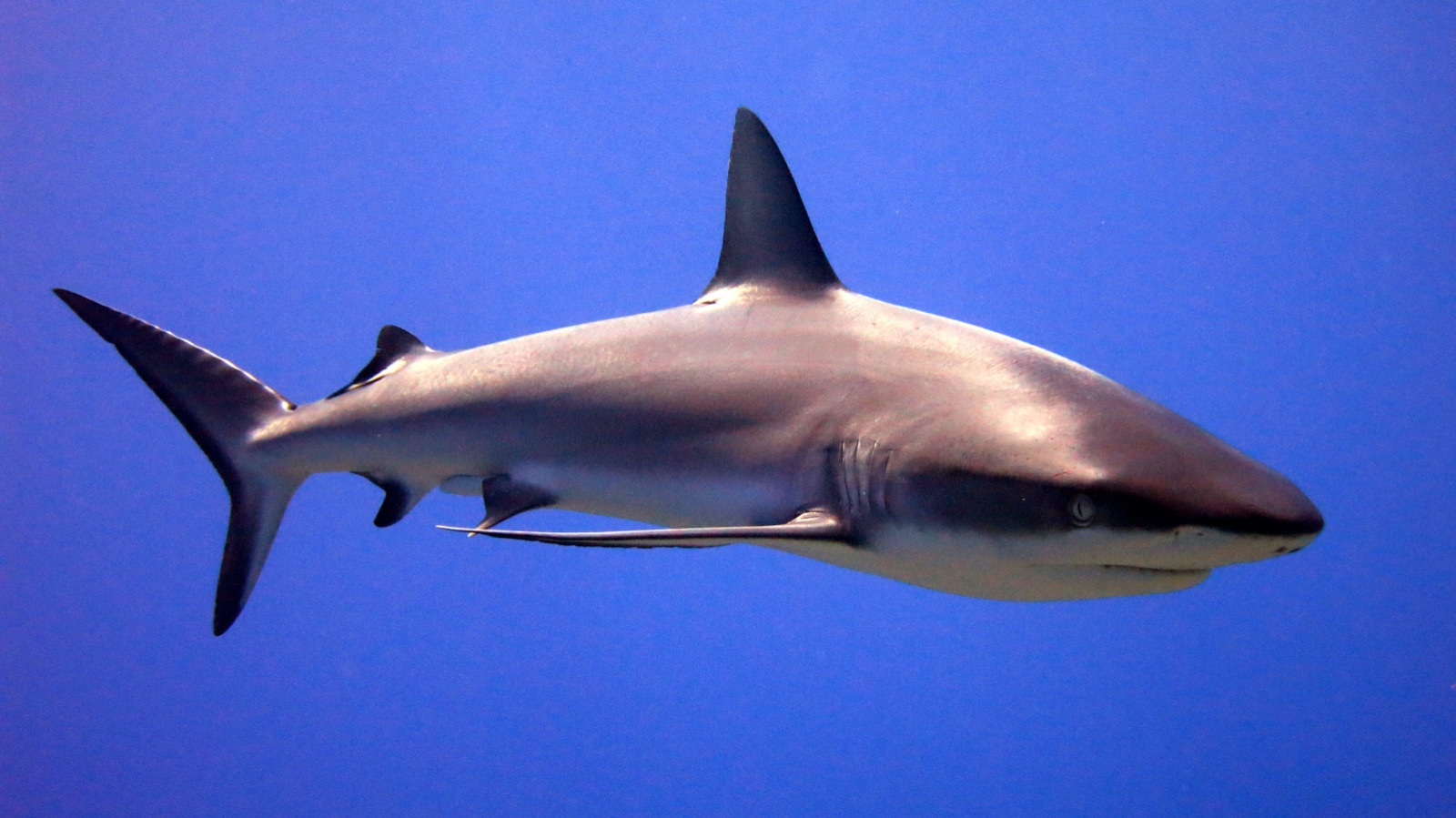
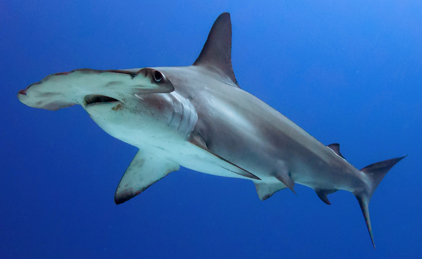
Sanganeb is a true atoll a few hours off Port Sudan, crowned by a working lighthouse whose keepers wave at the boats, and its North Point is the reason the atoll appears on every Sudanese itinerary. Terraces step down from the rim into blue water, and in the cooler months scalloped hammerheads school along their outer edge at dawn - sometimes a handful, sometimes a wall of animals that swallows the view. Grey reef sharks work the plateau at all hours, dogtooth tuna cruise the drop, and the reef structure itself, protected within a national park and now a World Heritage listing, is in conspicuously fine condition. The climb up the lighthouse between dives, with the whole atoll turquoise below, is the surface interval nobody forgets.
El momento por el que vienes: Dawn hammerhead schools; the lighthouse climb; atoll walls in heritage-grade condition.
Topografía: Terraced plateaus stepping off an atoll rim into deep open water
Entrada: The atoll's exposed northern tip; dives drop onto the plateau edge at first light when the sharks ride the thermocline.
Lo que debes saber antes de tirarte al agua
Riesgos: Strong current at the point; early-morning blue-water work; the nearest chamber is effectively a country away.
Conservación: Part of a marine national park inscribed on the World Heritage list in 2016; its condition reflects decades of minimal pressure.
Nitrox: Vale la pena aquí: los perfiles están en el rango donde el nitrox amplía de forma significativa el tiempo sin parada (con la formación necesaria para usarlo).
A quién encontrarás
Dogtooth Tuna

Great Barracuda
Grey Reef Shark
Scalloped Hammerhead
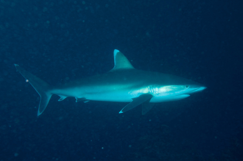
Silvertip Shark
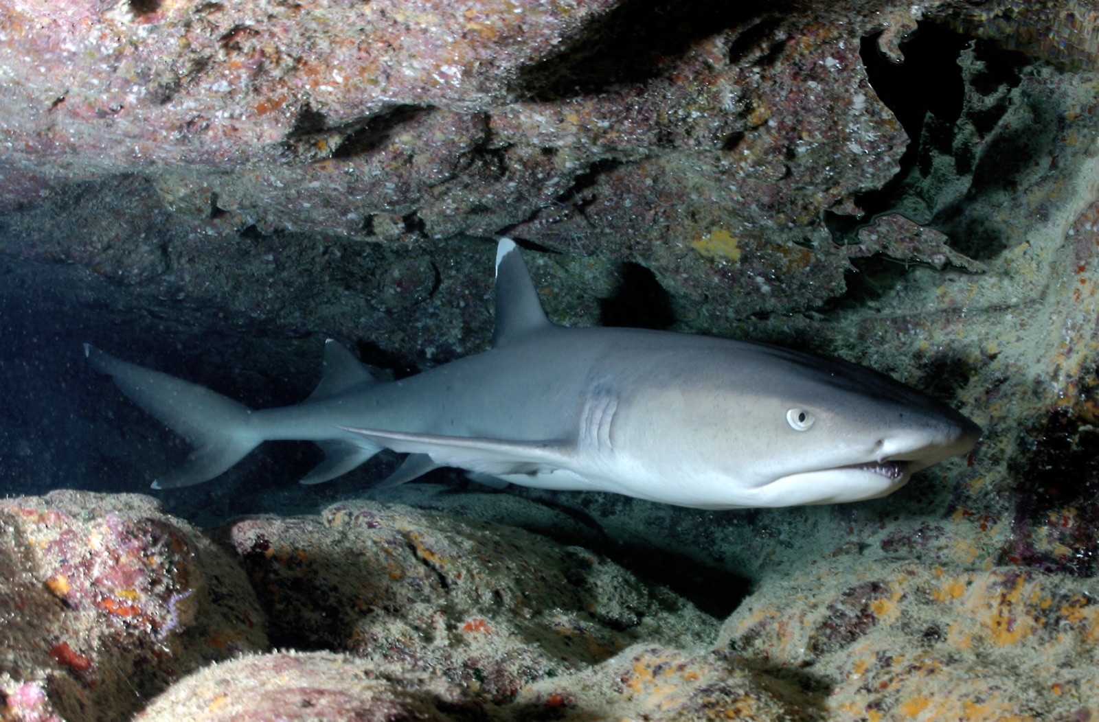
Whitetip Reef Shark
Las especies "aquí registradas" fueron añadidas por nuestros editores a partir de las fuentes de esta página. Los recuentos son registros de ocurrencia de GBIF: observaciones anotadas en un radio de unos 5 km de la posición registrada desde 1990, cotejadas únicamente con las especies de nuestro catálogo. Muestran lo que se ha avistado allí, no una garantía de lo que verás.
Para fotógrafos
Gran angular: ★★★★★ · Macro: ★☆☆☆☆ (valoración de 1 a 5 de los editores sobre lo que ofrece este sitio para cada estilo de fotografía)