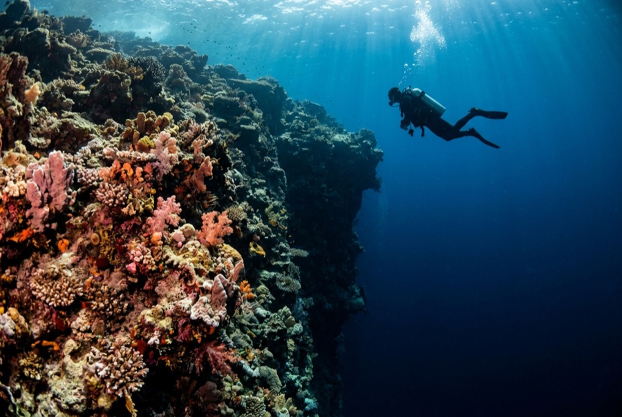
Sanganeb North Point
La profondeur correspond à la plage allant du sommet du site jusqu'à son maximum habituel ; le « niveau recommandé » est le niveau demandé en général par les opérateurs auprès des grandes agences, pas une règle légale. Les courants et la visibilité varient chaque jour, traitez donc tout cela comme des plages indicatives de planification.
Sanganeb is a true atoll a few hours off Port Sudan, crowned by a working lighthouse whose keepers wave at the boats, and its North Point is the reason the atoll appears on every Sudanese itinerary. Terraces step down from the rim into blue water, and in the cooler months scalloped hammerheads school along their outer edge at dawn - sometimes a handful, sometimes a wall of animals that swallows the view. Grey reef sharks work the plateau at all hours, dogtooth tuna cruise the drop, and the reef structure itself, protected within a national park and now a World Heritage listing, is in conspicuously fine condition. The climb up the lighthouse between dives, with the whole atoll turquoise below, is the surface interval nobody forgets.
Le moment pour lequel vous venez: Dawn hammerhead schools; the lighthouse climb; atoll walls in heritage-grade condition.
Topographie: Terraced plateaus stepping off an atoll rim into deep open water
Entrée: The atoll's exposed northern tip; dives drop onto the plateau edge at first light when the sharks ride the thermocline.
À savoir avant de plonger
Dangers: Strong current at the point; early-morning blue-water work; the nearest chamber is effectively a country away.
Conservation: Part of a marine national park inscribed on the World Heritage list in 2016; its condition reflects decades of minimal pressure.
Nitrox: Pertinent ici : les profils se situent dans la plage où le nitrox prolonge significativement le temps sans palier (avec la formation pour l'utiliser).
Qui vous croiserez
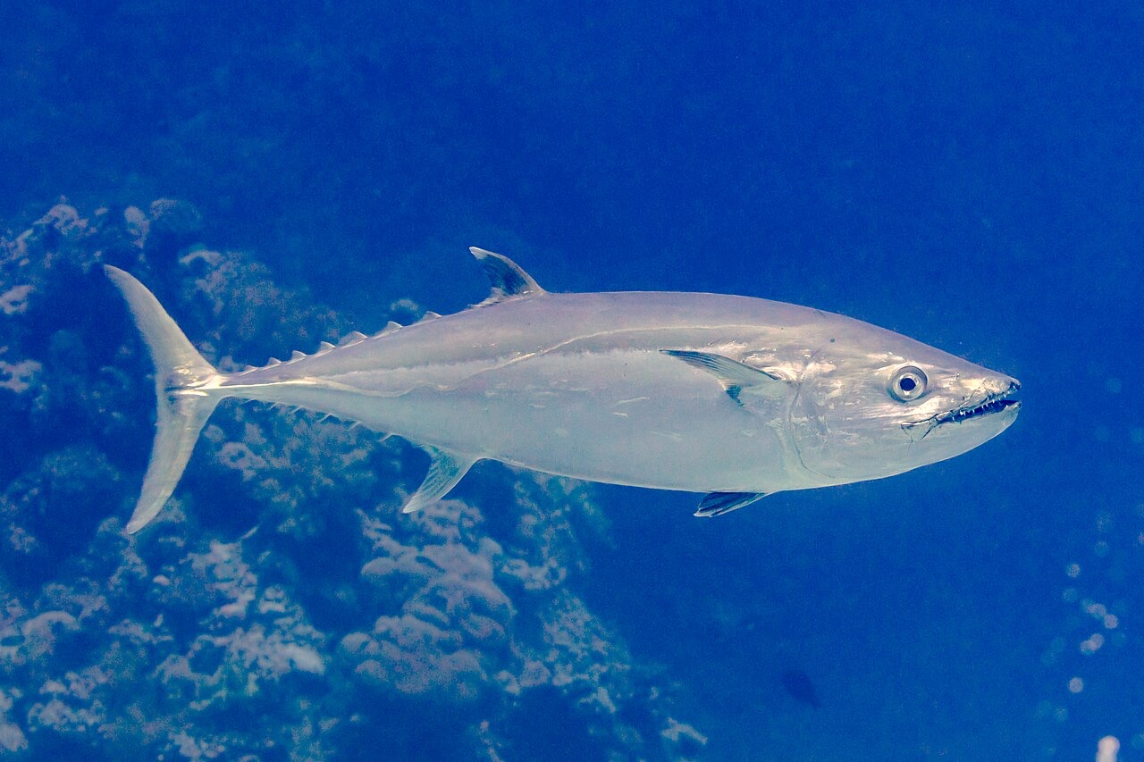
Dogtooth Tuna

Great Barracuda
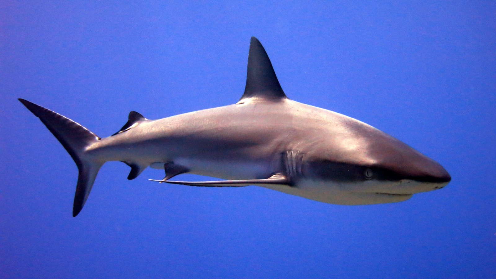
Grey Reef Shark
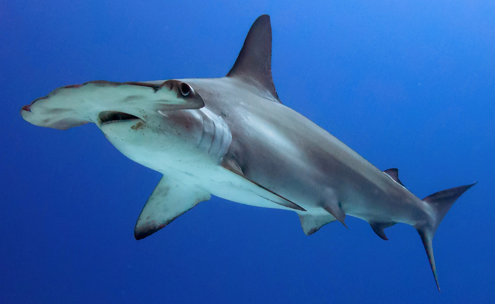
Scalloped Hammerhead
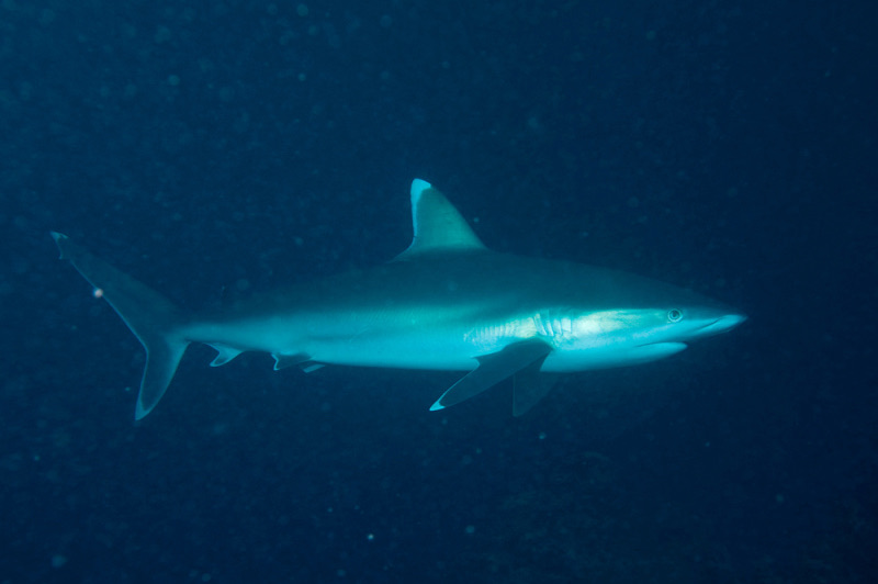
Silvertip Shark
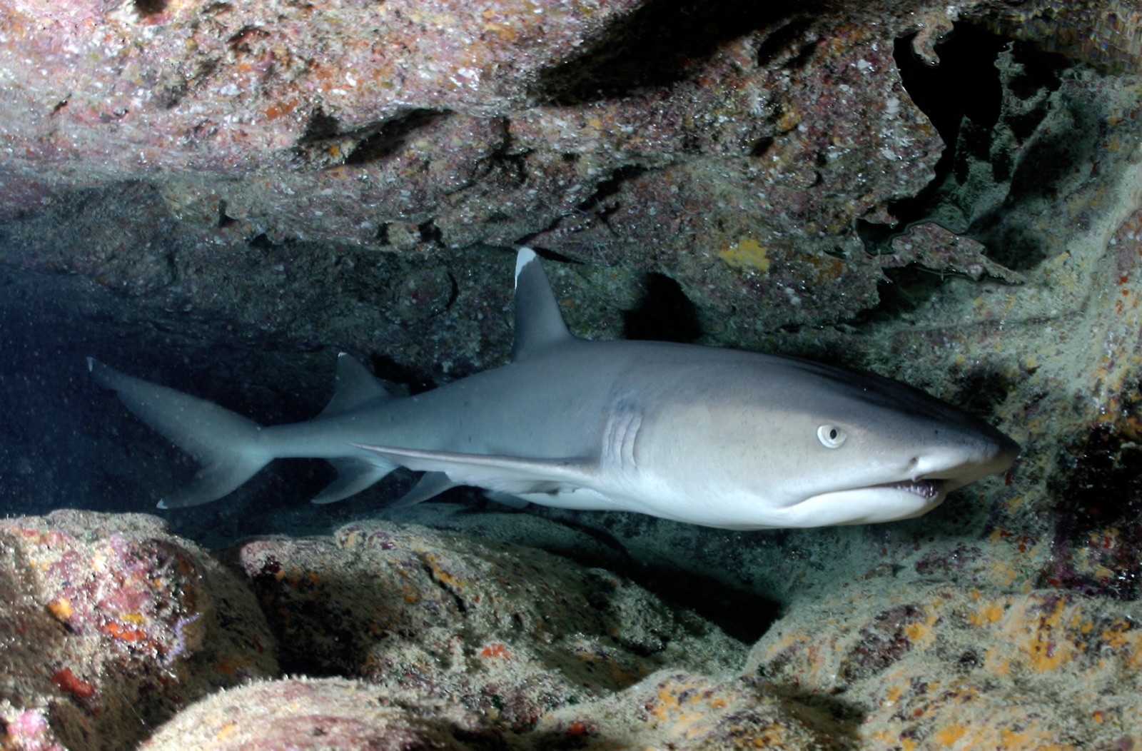
Whitetip Reef Shark
Les espèces « cartographiées ici » ont été répertoriées par nos éditeurs à partir des sources indiquées sur cette page. Les comptages correspondent aux occurrences GBIF : observations enregistrées dans un rayon d'environ 5 km autour de la position cartographiée depuis 1990, comparées uniquement aux espèces de notre catalogue. Ils indiquent ce qui a été observé à cet endroit, sans garantir ce que vous y verrez.
Pour les photographes
Grand angle: ★★★★★ · Macro: ★☆☆☆☆ (note 1–5 des éditeurs sur ce que ce site offre à chaque style de prise de vue)