Sanganeb North Point
A profundidade é o intervalo entre o topo do local e o seu máximo habitual; "certificação recomendada" é o nível das agências convencionais que os operadores normalmente exigem, não uma regra legal. As correntes e a visibilidade mudam diariamente, por isso trata tudo isto como intervalos de planeamento.
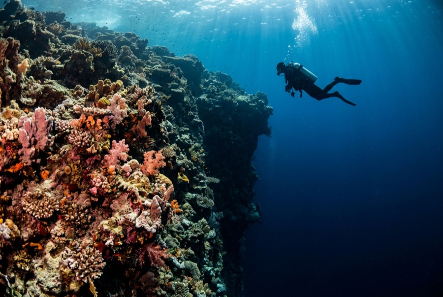
Sanganeb is a true atoll a few hours off Port Sudan, crowned by a working lighthouse whose keepers wave at the boats, and its North Point is the reason the atoll appears on every Sudanese itinerary. Terraces step down from the rim into blue water, and in the cooler months scalloped hammerheads school along their outer edge at dawn - sometimes a handful, sometimes a wall of animals that swallows the view. Grey reef sharks work the plateau at all hours, dogtooth tuna cruise the drop, and the reef structure itself, protected within a national park and now a World Heritage listing, is in conspicuously fine condition. The climb up the lighthouse between dives, with the whole atoll turquoise below, is the surface interval nobody forgets.
O momento pelo qual você vem: Dawn hammerhead schools; the lighthouse climb; atoll walls in heritage-grade condition.
Topografia: Terraced plateaus stepping off an atoll rim into deep open water
Entrada: The atoll's exposed northern tip; dives drop onto the plateau edge at first light when the sharks ride the thermocline.
Sabe antes de entrar na água
Perigos: Strong current at the point; early-morning blue-water work; the nearest chamber is effectively a country away.
Conservação: Part of a marine national park inscribed on the World Heritage list in 2016; its condition reflects decades of minimal pressure.
Nitrox: Vale a pena aqui: os perfis situam-se na gama em que o nitrox prolonga significativamente o tempo sem paragem de descompressão (com a formação para o usar).
Quem vai encontrar
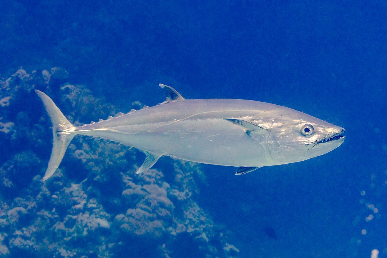
Dogtooth Tuna

Great Barracuda
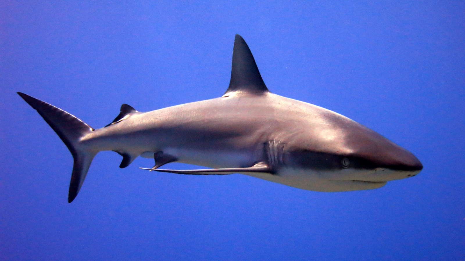
Grey Reef Shark
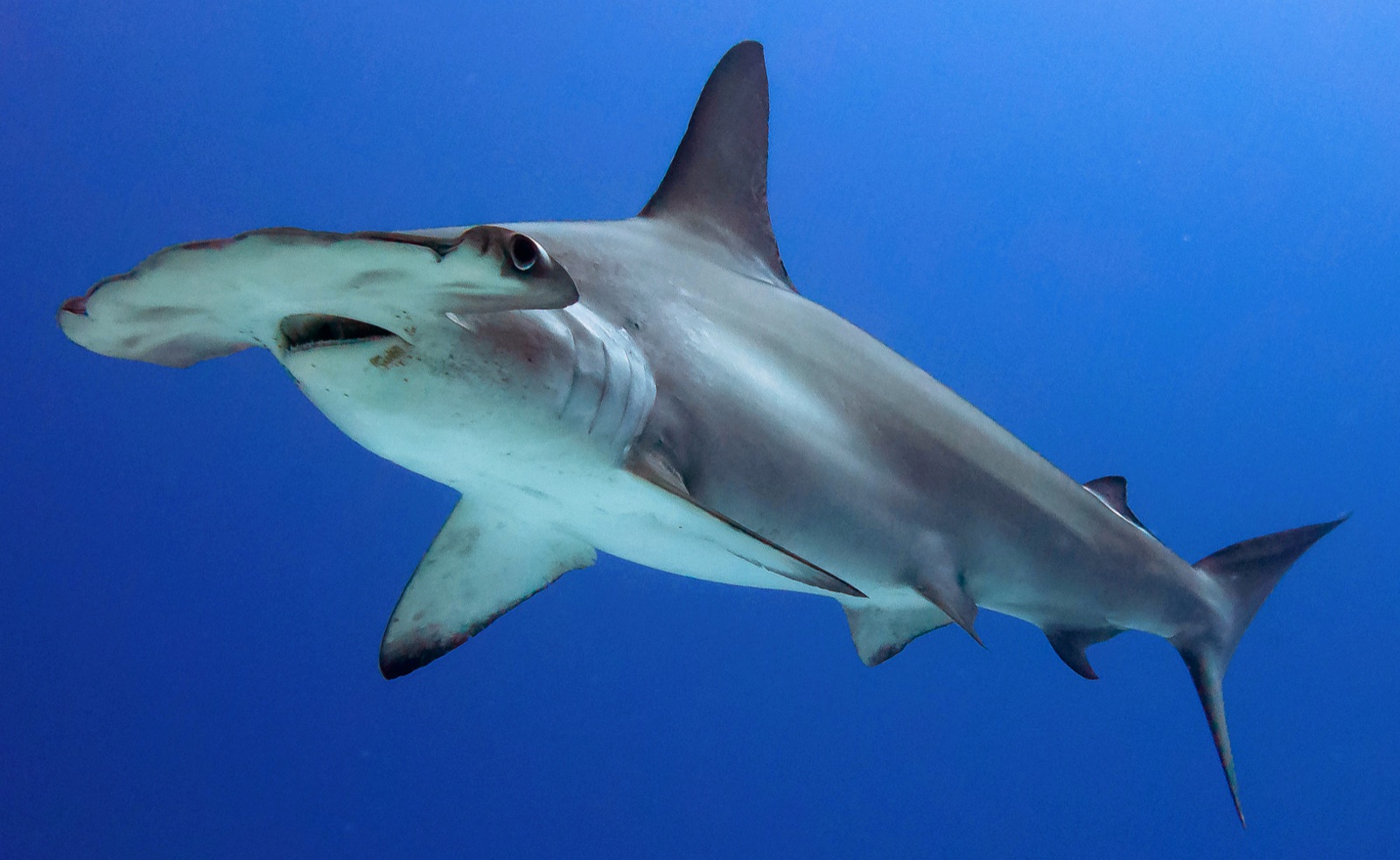
Scalloped Hammerhead
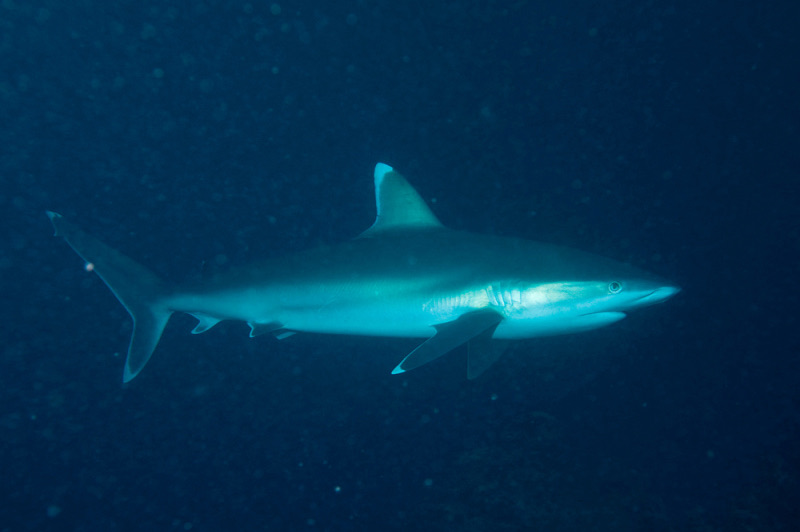
Silvertip Shark
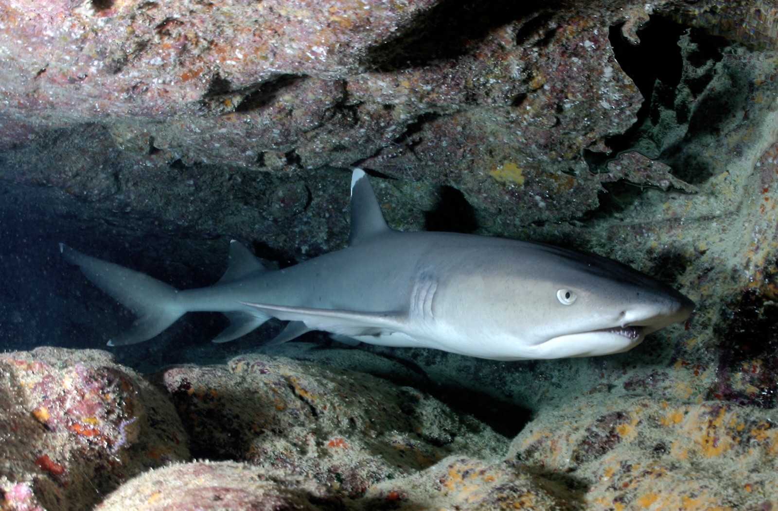
Whitetip Reef Shark
As espécies "registadas aqui" foram listadas pelos nossos editores a partir das fontes desta página. As contagens são registos de ocorrência do GBIF: observações registadas num raio de cerca de 5 km da posição indicada desde 1990, cruzadas apenas com as espécies do nosso catálogo. Mostram o que foi avistado no local, não uma garantia do que irá encontrar.
Para fotógrafos
Grande angular: ★★★★★ · Macro: ★☆☆☆☆ (classificação de 1–5 dos editores sobre o que este sítio oferece a cada estilo de fotografia)