Million Dollar Point
Die Tiefe gibt den Bereich von der Oberkante des Tauchplatzes bis zur üblichen Maximaltiefe an; „empfohlene Zertifizierung" ist das von Anbietern üblicherweise geforderte Mainstream-Agenturniveau – keine gesetzliche Vorschrift. Strömungen und Sichtweite ändern sich täglich – behandle alle Angaben hier als Planungsbereiche.
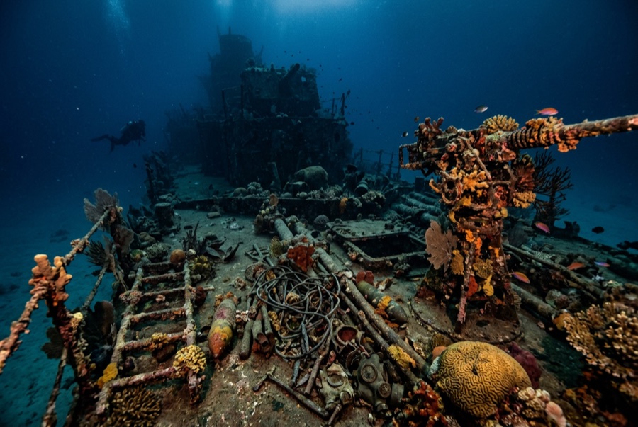
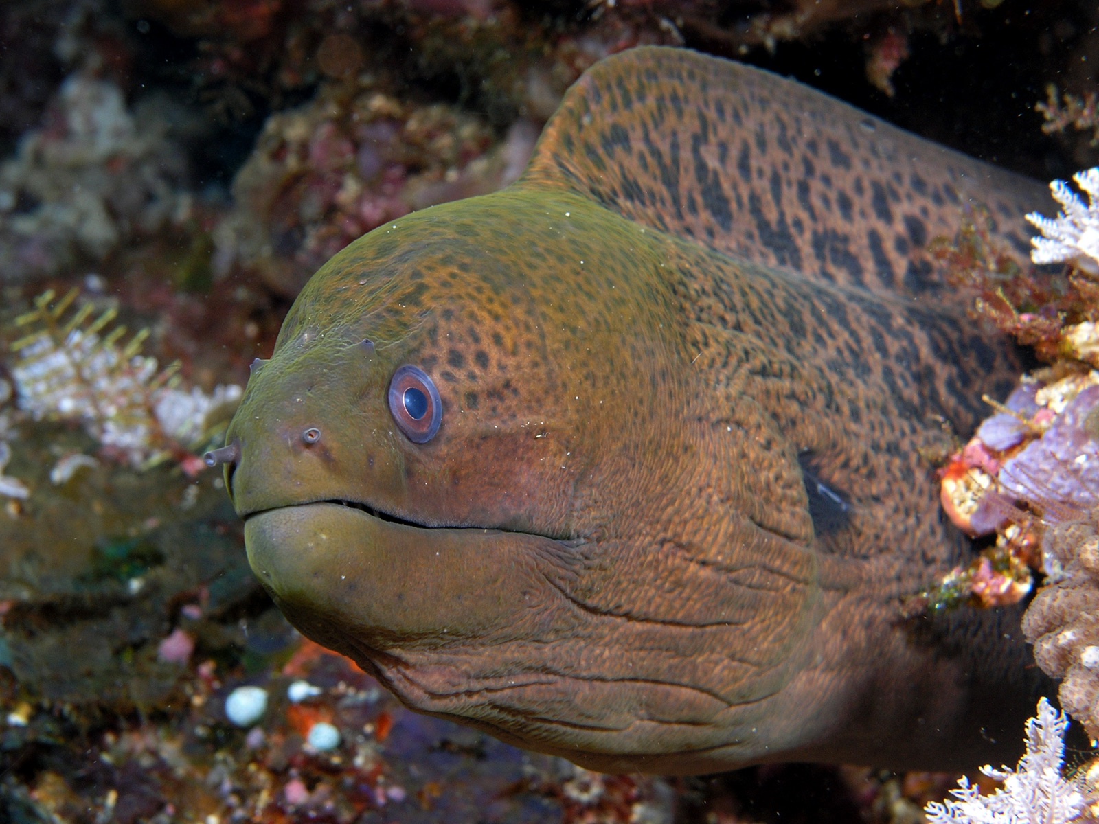
In 1945, when postwar sale negotiations for America's Santo base equipment collapsed, the departing forces drove the lot off the point: bulldozers, six-wheeled trucks, cranes, jeeps, crate after crate, all pushed into the sea. The result is diving's strangest reef. Tires stand in coral like planted rings, gearboxes sprout anemones, and a diver can descend forty years of industrial archaeology from snorkel depth to 30-plus meters. Glassfish own the engine bays; morays own the exhaust pipes. It is comic and mournful at once: a monument to waste that the ocean has spent eighty years quietly redeeming.
Der Moment, für den du kommst: Bulldozers and trucks stacked down the slope; coral colonizing machinery; easy depths that suit any certification.
Topografie: A slope of dumped military equipment (bulldozers, trucks, cranes, forklifts) descending from the shallows past 30 m
Einstieg: Beach entry near Luganville over coral rubble; the debris field starts within a few fin kicks.
Was du wissen solltest, bevor du ins Wasser gehst
Gefahren: Sharp, shifting metal; entanglement in cable and machinery; surge in the shallows on windy days.
Naturschutz: Protected as an historic site: bottle hunters and souvenir takers have already thinned it; leave every relic where the bulldozers dropped it.
Wen du triffst

Clownfish & Anemonefish

Nudibranchs

Lionfish
Common Reef (Day) Octopus
Giant Moray Eel
Dugong
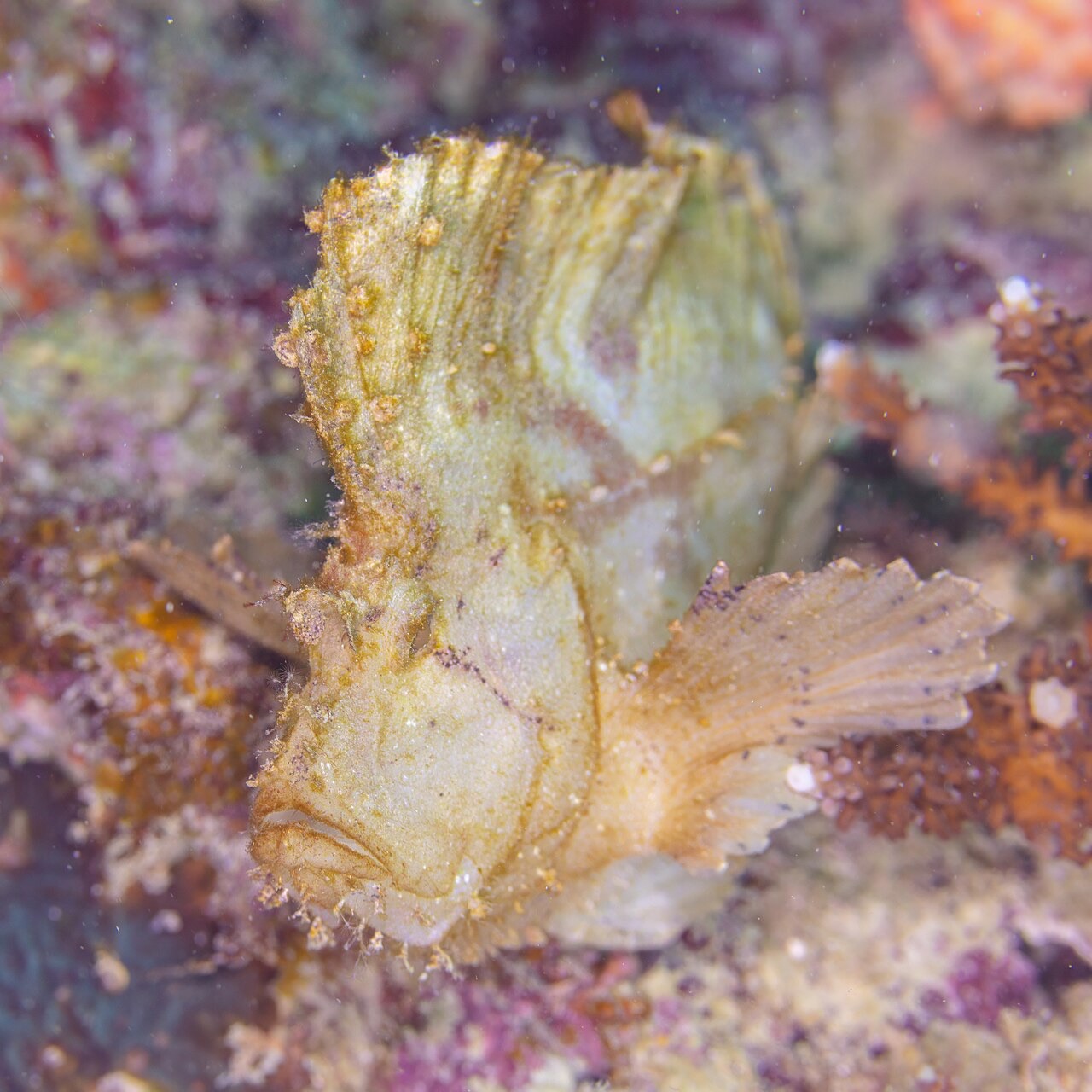
Leaf Scorpionfish
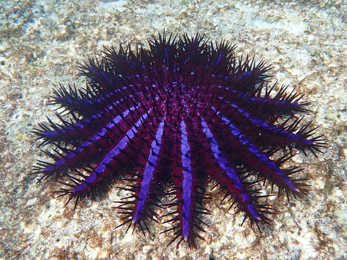
Crown-of-Thorns Starfish
Auch in der Nähe nachgewiesen
„Hier kartiert" – Arten wurden von unseren Redakteuren anhand der Quellen auf dieser Seite erfasst. Die Zahlen sind GBIF-Vorkommensdatensätze: Beobachtungen, die seit 1990 im Umkreis von etwa 5 km um die kartierte Position protokolliert wurden, ausschließlich abgeglichen mit den Arten in unserem Katalog. Sie zeigen, was dort gesichtet wurde – keine Garantie, was du sehen wirst.
Für Fotografen
Weitwinkel: ★★★★★ · Makro: ★★★☆☆ (Redaktionelle 1–5-Bewertung, was dieser Platz für jeden Fotografie-Stil bietet)