Mbotyi & Waterfall Bluff
Depth is the range from the top of the site to its usual maximum; "recommended cert" is the mainstream-agency level operators usually ask for, not a legal rule. Currents and visibility change daily, so treat everything here as planning ranges.
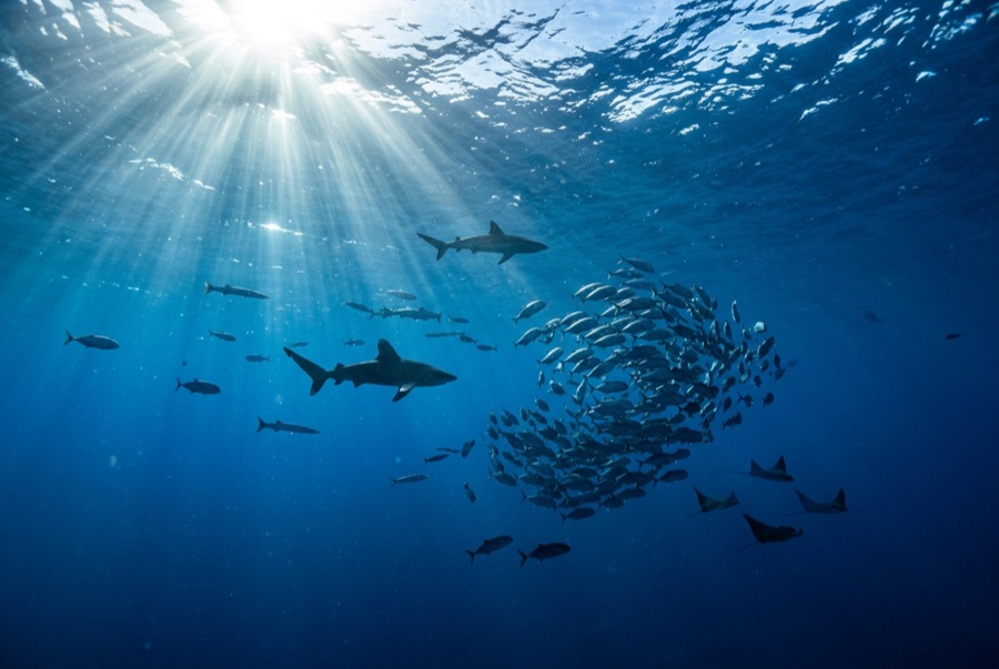
Northeast of Port St Johns, the village of Mbotyi stages expeditions along the run's most cinematic stretch: the cliff line where Waterfall Bluff drops its stream directly into the sea. The sardine dynamics mirror PSJ's: cold-water pulses squeeze shoals against the coast, gannet stacks mark the action, and crews sprint the RIBs to whatever forms. With fewer operators based here, a good bait ball can belong to one boat alone. Between events the coastline itself does the entertaining (humpbacks breaching on the horizon, dolphins bow-riding, waterfalls on green cliffs), and the tiny lodge scene keeps the expedition feel undiluted.
The moment you come for: Low-traffic staging with the Waterfall Bluff backdrop; one-boat bait balls when luck lands
Topography: Open water along the cliffed coast between Mbotyi and Waterfall Bluff
Current: Same shelf dynamics as Port St Johns with even fewer boats; weather rules every launch decision.
Know before you splash
Hazards: Isolation on top of the run's standard hazards; evacuation from this coast is slow.
Conservation: Remote coastline with no rescue infrastructure: operators run conservative calls by necessity.
Who you'll meet
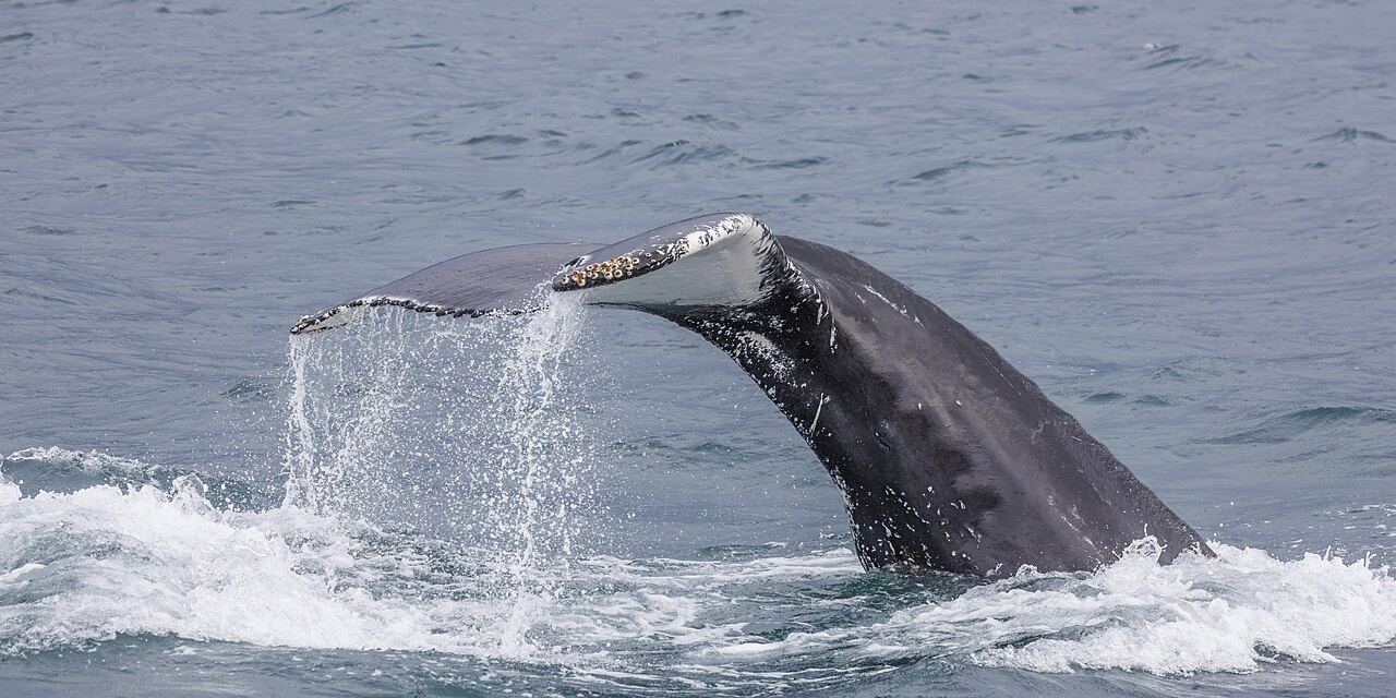
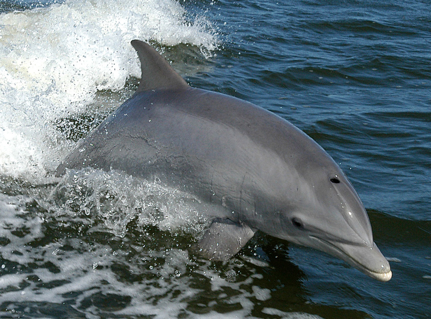
"Charted here" species were listed by our editors from the sources on this page. Counts are GBIF occurrence records: observations logged within about 5 km of the charted position since 1990, matched only against the species in our catalogue. They show what has been seen there, not a promise of what you will see.
For photographers
Wide angle: ★★★★★ · Macro: ★☆☆☆☆ (editors' 1–5 rating of what this site gives each style of shooting)