Mbotyi & Waterfall Bluff
La profundidad indica el rango desde la parte superior del punto hasta su máximo habitual; la "certificación recomendada" es el nivel que los operadores suelen exigir según las principales agencias, no una norma legal. Las corrientes y la visibilidad cambian a diario — considera todo esto como rangos de planificación.
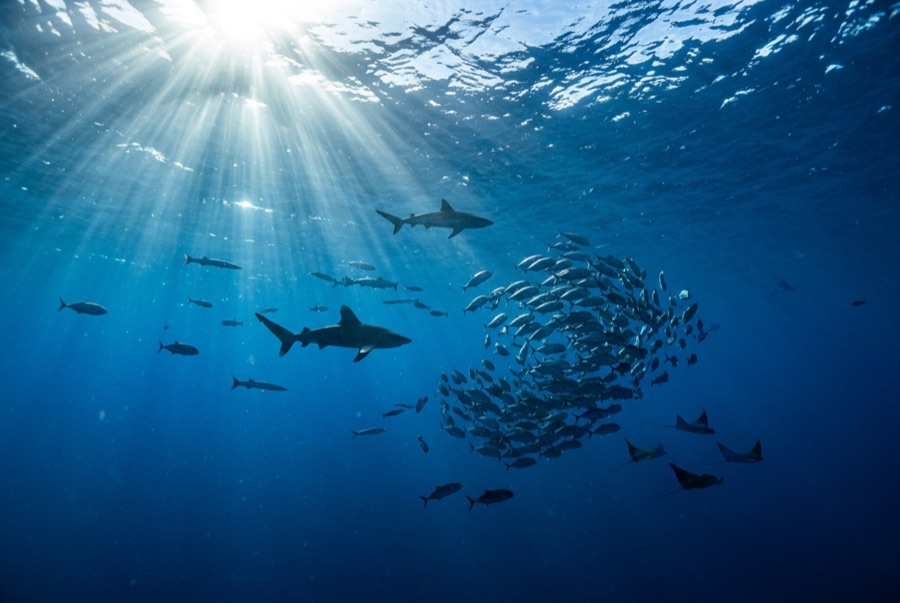
Northeast of Port St Johns, the village of Mbotyi stages expeditions along the run's most cinematic stretch — the cliff line where Waterfall Bluff drops its stream directly into the sea. The sardine dynamics mirror PSJ's: cold-water pulses squeeze shoals against the coast, gannet stacks mark the action, and crews sprint the RIBs to whatever forms. With fewer operators based here, a good bait ball can belong to one boat alone. Between events the coastline itself does the entertaining — humpbacks breaching on the horizon, dolphins bow-riding, waterfalls on green cliffs — and the tiny lodge scene keeps the expedition feel undiluted.
El momento por el que vienes: Low-traffic staging with the Waterfall Bluff backdrop; one-boat bait balls when luck lands
Topografía: Open water along the cliffed coast between Mbotyi and Waterfall Bluff
Corriente: Same shelf dynamics as Port St Johns with even fewer boats; weather rules every launch decision.
Lo que debes saber antes de tirarte al agua
Riesgos: Isolation on top of the run's standard hazards; evacuation from this coast is slow.
Conservación: Remote coastline with no rescue infrastructure — operators run conservative calls by necessity.
A quién encontrarás
Para fotógrafos
Gran angular: ★★★★★ · Macro: ★☆☆☆☆ — valoración de 1 a 5 de los editores sobre lo que ofrece este sitio para cada estilo de fotografía