Mbotyi & Waterfall Bluff
La profondeur indique la plage entre le sommet du site et son maximum habituel ; le « niveau de certification recommandé » correspond au niveau généralement demandé par les opérateurs selon les agences grand public, et non à une règle légale. Les courants et la visibilité varient chaque jour — considérez toutes ces informations comme des estimations de planification.
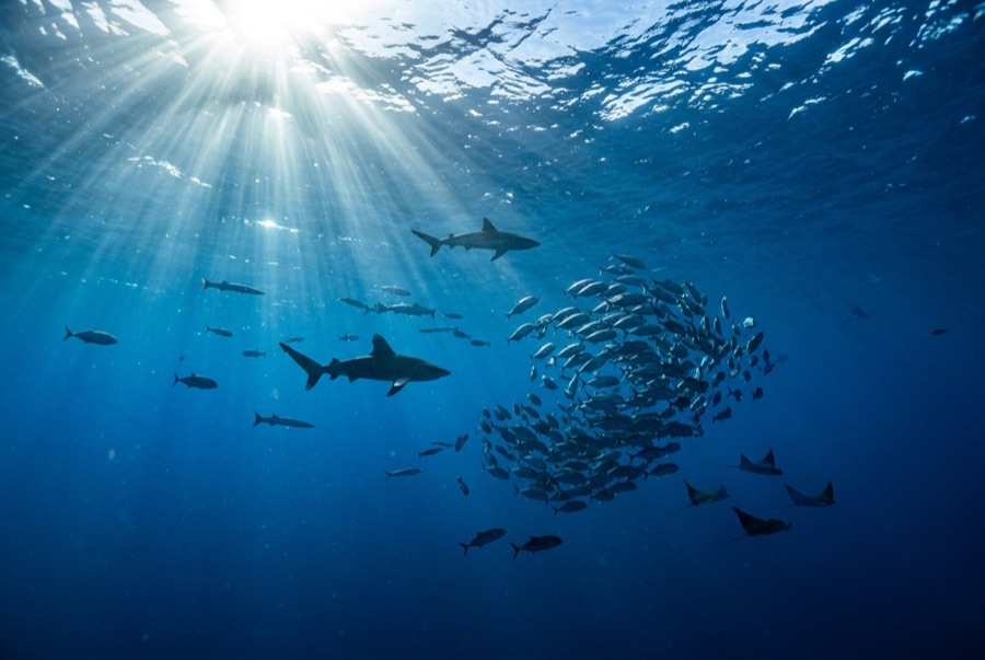
Northeast of Port St Johns, the village of Mbotyi stages expeditions along the run's most cinematic stretch — the cliff line where Waterfall Bluff drops its stream directly into the sea. The sardine dynamics mirror PSJ's: cold-water pulses squeeze shoals against the coast, gannet stacks mark the action, and crews sprint the RIBs to whatever forms. With fewer operators based here, a good bait ball can belong to one boat alone. Between events the coastline itself does the entertaining — humpbacks breaching on the horizon, dolphins bow-riding, waterfalls on green cliffs — and the tiny lodge scene keeps the expedition feel undiluted.
Le moment pour lequel vous venez: Low-traffic staging with the Waterfall Bluff backdrop; one-boat bait balls when luck lands
Topographie: Open water along the cliffed coast between Mbotyi and Waterfall Bluff
Courant: Same shelf dynamics as Port St Johns with even fewer boats; weather rules every launch decision.
À savoir avant de plonger
Dangers: Isolation on top of the run's standard hazards; evacuation from this coast is slow.
Conservation: Remote coastline with no rescue infrastructure — operators run conservative calls by necessity.
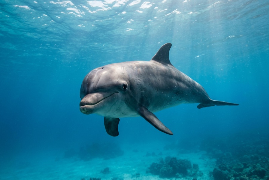
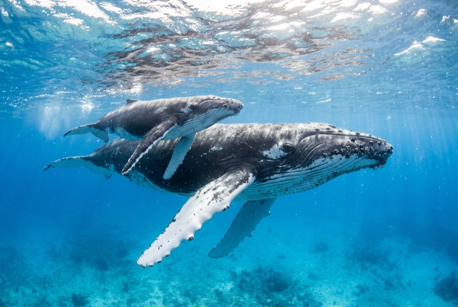
Qui vous croiserez
Pour les photographes
Grand angle: ★★★★★ · Macro: ★☆☆☆☆ — note 1–5 des éditeurs sur ce que ce site offre à chaque style de prise de vue