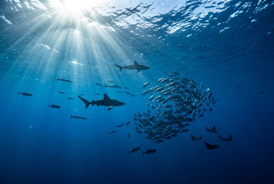
Mbotyi & Waterfall Bluff
Depth साइट की ऊपरी सीमा से उसके सामान्य maximum तक की range है; "recommended cert" वह mainstream-agency level है जो operators आमतौर पर माँगते हैं, कोई कानूनी नियम नहीं। Currents और visibility रोज़ बदलती है, इसलिए सब कुछ planning ranges मानें।
Northeast of Port St Johns, the village of Mbotyi stages expeditions along the run's most cinematic stretch: the cliff line where Waterfall Bluff drops its stream directly into the sea. The sardine dynamics mirror PSJ's: cold-water pulses squeeze shoals against the coast, gannet stacks mark the action, and crews sprint the RIBs to whatever forms. With fewer operators based here, a good bait ball can belong to one boat alone. Between events the coastline itself does the entertaining (humpbacks breaching on the horizon, dolphins bow-riding, waterfalls on green cliffs), and the tiny lodge scene keeps the expedition feel undiluted.
वह पल जिसके लिए आप आते हैं: Low-traffic staging with the Waterfall Bluff backdrop; one-boat bait balls when luck lands
टोपोग्राफी: Open water along the cliffed coast between Mbotyi and Waterfall Bluff
करंट: Same shelf dynamics as Port St Johns with even fewer boats; weather rules every launch decision.
पानी में उतरने से पहले जान लें
खतरे: Isolation on top of the run's standard hazards; evacuation from this coast is slow.
संरक्षण: Remote coastline with no rescue infrastructure: operators run conservative calls by necessity.
आप किनसे मिलेंगे
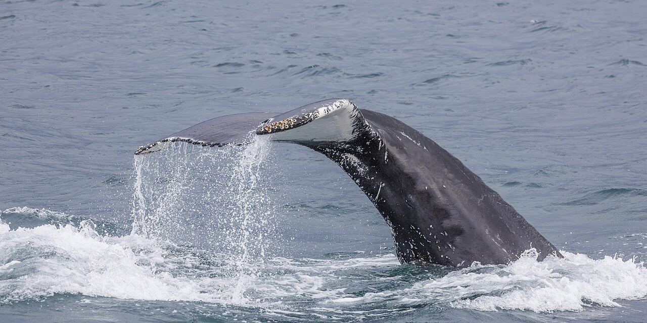
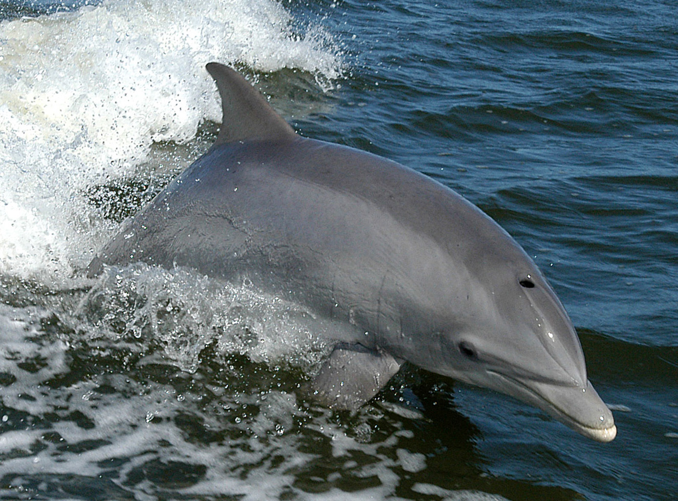
"यहाँ चार्ट की गई" प्रजातियाँ हमारे संपादकों ने इस पृष्ठ के स्रोतों से सूचीबद्ध की हैं। गिनती GBIF occurrence रिकॉर्ड हैं: 1990 के बाद से चार्ट की गई स्थिति के लगभग 5 किमी के भीतर दर्ज अवलोकन, जो केवल हमारे कैटलॉग की प्रजातियों से मिलाए गए हैं। ये दिखाते हैं कि वहाँ क्या देखा गया है, यह वादा नहीं कि आप क्या देखेंगे।
फ़ोटोग्राफ़रों के लिए
Wide angle: ★★★★★ · मैक्रो: ★☆☆☆☆ (इस साइट पर हर तरह की फ़ोटोग्राफ़ी शैली के लिए संपादकों की 1–5 रेटिंग)