Mbotyi & Waterfall Bluff
Kedalaman adalah rentang dari bagian teratas lokasi hingga maksimum biasanya; "sertifikasi yang disarankan" adalah level agen arus utama yang biasanya diminta operator, bukan aturan hukum. Arus dan visibilitas berubah setiap hari, jadi anggap semua ini sebagai rentang perencanaan.
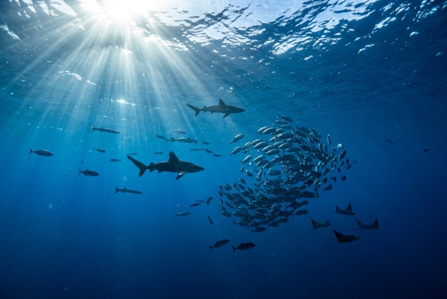
Northeast of Port St Johns, the village of Mbotyi stages expeditions along the run's most cinematic stretch: the cliff line where Waterfall Bluff drops its stream directly into the sea. The sardine dynamics mirror PSJ's: cold-water pulses squeeze shoals against the coast, gannet stacks mark the action, and crews sprint the RIBs to whatever forms. With fewer operators based here, a good bait ball can belong to one boat alone. Between events the coastline itself does the entertaining (humpbacks breaching on the horizon, dolphins bow-riding, waterfalls on green cliffs), and the tiny lodge scene keeps the expedition feel undiluted.
Momen yang Anda nantikan: Low-traffic staging with the Waterfall Bluff backdrop; one-boat bait balls when luck lands
Topografi: Open water along the cliffed coast between Mbotyi and Waterfall Bluff
Arus: Same shelf dynamics as Port St Johns with even fewer boats; weather rules every launch decision.
Ketahui sebelum kamu nyebur
Bahaya: Isolation on top of the run's standard hazards; evacuation from this coast is slow.
Konservasi: Remote coastline with no rescue infrastructure: operators run conservative calls by necessity.
Siapa yang akan kamu temui
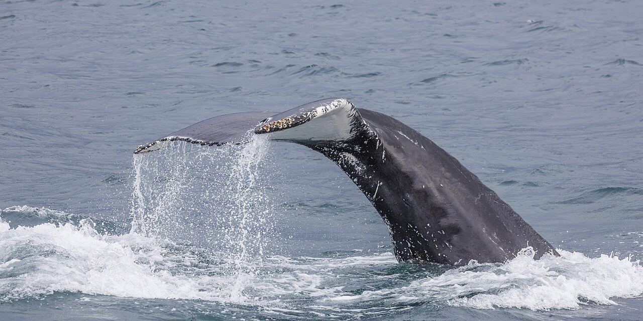
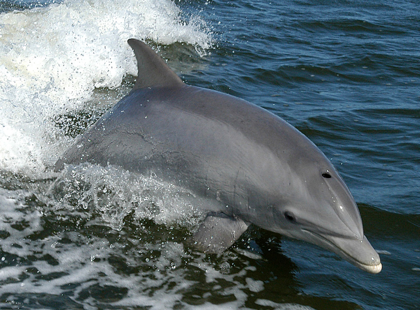
Spesies yang "Terpetakan di sini" dicantumkan oleh editor kami dari sumber-sumber di halaman ini. Jumlahnya merupakan catatan kemunculan GBIF: observasi yang dicatat dalam radius sekitar 5 km dari posisi yang terpetakan sejak 1990, dicocokkan hanya dengan spesies dalam katalog kami. Data ini menunjukkan apa yang pernah terlihat di sana, bukan jaminan apa yang akan Anda temukan.
Untuk fotografer
Wide angle: ★★★★★ · Makro: ★☆☆☆☆ (penilaian 1–5 dari editor tentang apa yang ditawarkan lokasi ini untuk setiap gaya pemotretan)