Mbotyi & Waterfall Bluff
水深はサイト上部から通常の最大深度までの範囲を示し、「推奨認定レベル」はオペレーターが一般的に求めるメインストリーム機関の資格レベルであり、法的な義務ではありません。流れと透明度は日々変化します——ここに掲載されている情報はすべて計画の目安としてご利用ください。
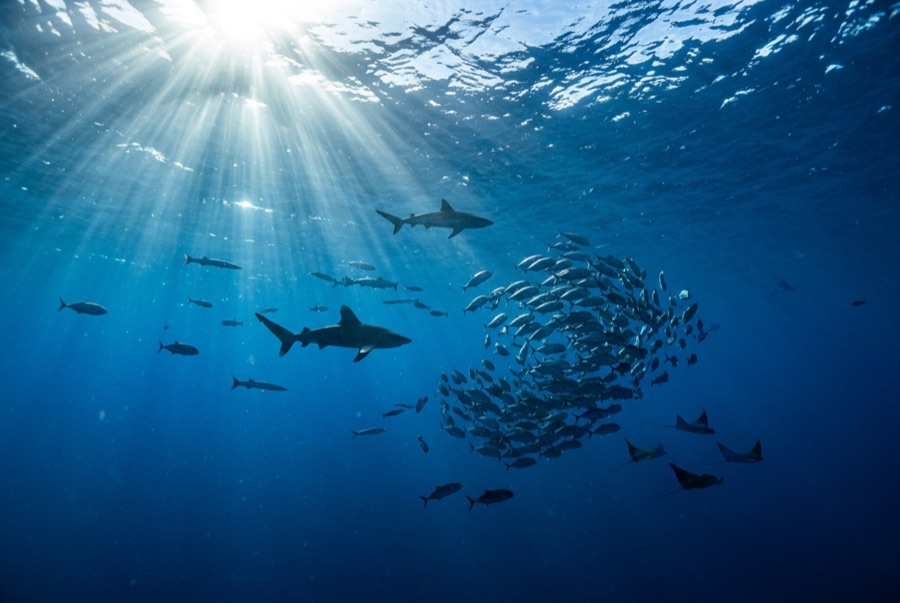
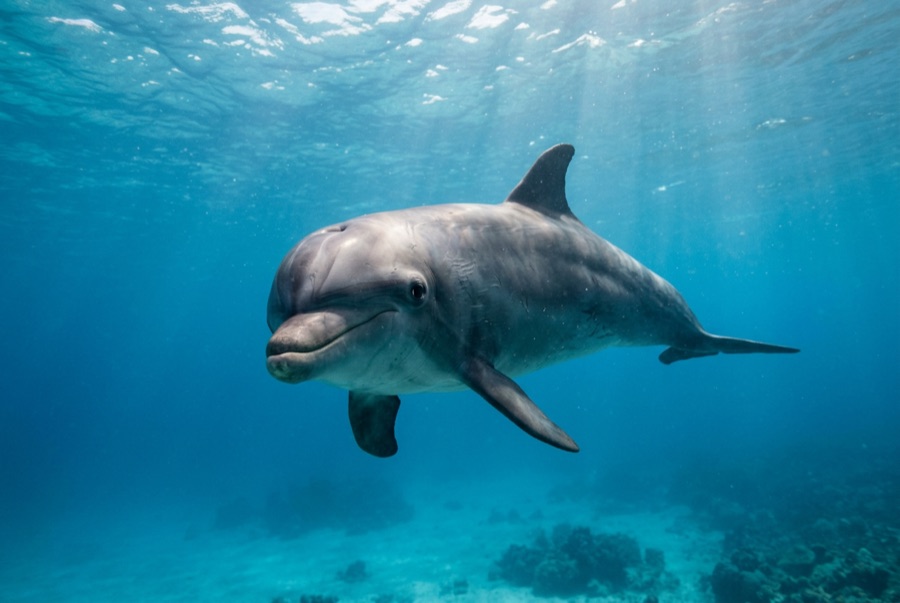
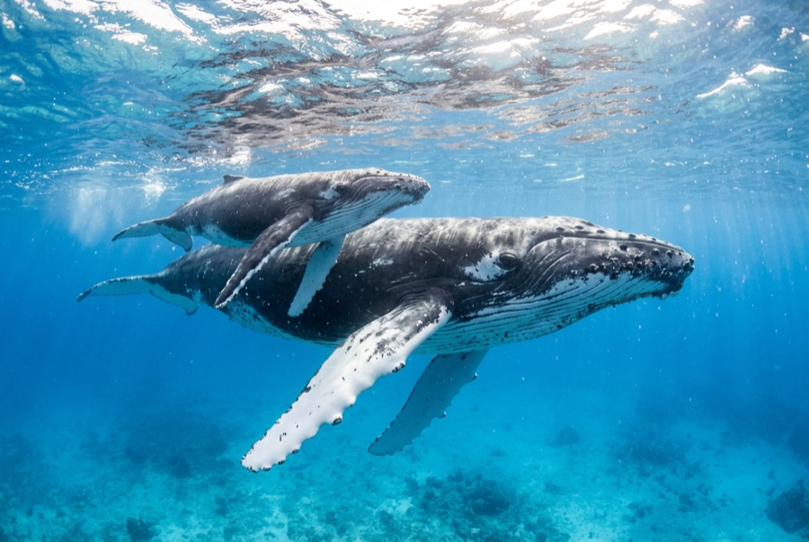
Northeast of Port St Johns, the village of Mbotyi stages expeditions along the run's most cinematic stretch — the cliff line where Waterfall Bluff drops its stream directly into the sea. The sardine dynamics mirror PSJ's: cold-water pulses squeeze shoals against the coast, gannet stacks mark the action, and crews sprint the RIBs to whatever forms. With fewer operators based here, a good bait ball can belong to one boat alone. Between events the coastline itself does the entertaining — humpbacks breaching on the horizon, dolphins bow-riding, waterfalls on green cliffs — and the tiny lodge scene keeps the expedition feel undiluted.
その瞬間のために: Low-traffic staging with the Waterfall Bluff backdrop; one-boat bait balls when luck lands
地形: Open water along the cliffed coast between Mbotyi and Waterfall Bluff
流れ(カレント): Same shelf dynamics as Port St Johns with even fewer boats; weather rules every launch decision.
エントリー前に知っておこう
危険生物・リスク: Isolation on top of the run's standard hazards; evacuation from this coast is slow.
保全: Remote coastline with no rescue infrastructure — operators run conservative calls by necessity.
出会える生物
水中フォトグラファー向け
ワイドアングル: ★★★★★ · マクロ: ★☆☆☆☆ — 各撮影スタイルに対するこのサイトの評価(編集部による1〜5点)