Mbotyi & Waterfall Bluff
수심은 사이트 상단부터 통상적인 최대 수심까지의 범위이며, '권장 자격증'은 업체에서 통상적으로 요구하는 주요 인증 기관 기준이지 법적 규정이 아닙니다. 조류와 시야는 매일 달라지므로, 모든 정보는 계획 수립용 참고 범위로 활용하세요.
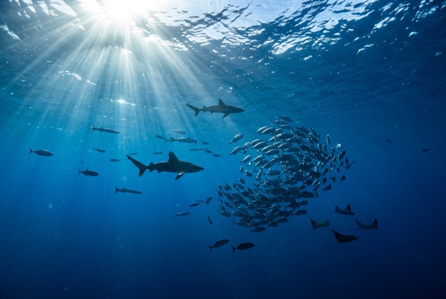
Northeast of Port St Johns, the village of Mbotyi stages expeditions along the run's most cinematic stretch: the cliff line where Waterfall Bluff drops its stream directly into the sea. The sardine dynamics mirror PSJ's: cold-water pulses squeeze shoals against the coast, gannet stacks mark the action, and crews sprint the RIBs to whatever forms. With fewer operators based here, a good bait ball can belong to one boat alone. Between events the coastline itself does the entertaining (humpbacks breaching on the horizon, dolphins bow-riding, waterfalls on green cliffs), and the tiny lodge scene keeps the expedition feel undiluted.
바로 그 순간: Low-traffic staging with the Waterfall Bluff backdrop; one-boat bait balls when luck lands
지형: Open water along the cliffed coast between Mbotyi and Waterfall Bluff
조류: Same shelf dynamics as Port St Johns with even fewer boats; weather rules every launch decision.
입수 전에 알아두세요
위험 요소: Isolation on top of the run's standard hazards; evacuation from this coast is slow.
보존: Remote coastline with no rescue infrastructure: operators run conservative calls by necessity.
만날 수 있는 생물
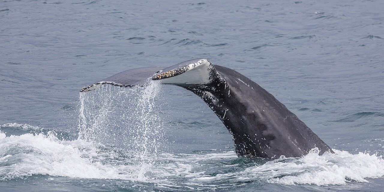
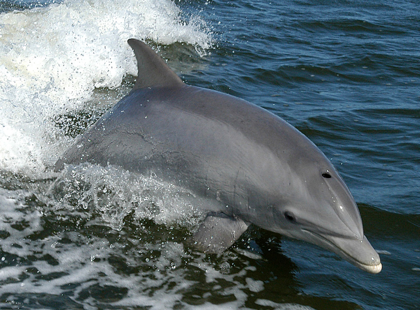
"여기에 등록된" 생물종은 편집팀이 이 페이지의 출처를 바탕으로 목록화한 종입니다. 표시된 수치는 GBIF 출현 기록으로, 1990년 이후 등록 위치 기준 약 5km 이내에서 관찰·기록된 건수이며, 저희 카탈로그에 수록된 종에 한해 대조한 결과입니다. 실제로 목격된 사례를 보여주는 것이며, 현장에서 반드시 볼 수 있다는 보장은 아닙니다.
수중 촬영자를 위한 정보
광각: ★★★★★ · 마크로: ★☆☆☆☆ (각 촬영 스타일에 대한 에디터의 1–5점 평가)