Mbotyi & Waterfall Bluff
De diepte is de range van de bovenkant van de site tot het gebruikelijke maximum; "aanbevolen brevet" is het niveau dat operators doorgaans vragen volgens de grote opleidingsorganisaties, geen wettelijke verplichting. Stromingen en zicht veranderen dagelijks, dus beschouw alles hier als planningsranges.
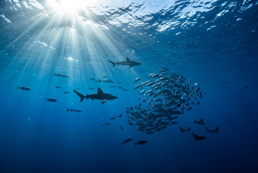
Northeast of Port St Johns, the village of Mbotyi stages expeditions along the run's most cinematic stretch: the cliff line where Waterfall Bluff drops its stream directly into the sea. The sardine dynamics mirror PSJ's: cold-water pulses squeeze shoals against the coast, gannet stacks mark the action, and crews sprint the RIBs to whatever forms. With fewer operators based here, a good bait ball can belong to one boat alone. Between events the coastline itself does the entertaining (humpbacks breaching on the horizon, dolphins bow-riding, waterfalls on green cliffs), and the tiny lodge scene keeps the expedition feel undiluted.
Het moment waar je voor komt: Low-traffic staging with the Waterfall Bluff backdrop; one-boat bait balls when luck lands
Topografie: Open water along the cliffed coast between Mbotyi and Waterfall Bluff
Stroming: Same shelf dynamics as Port St Johns with even fewer boats; weather rules every launch decision.
Weet dit voordat je het water in gaat
Gevaren: Isolation on top of the run's standard hazards; evacuation from this coast is slow.
Behoud: Remote coastline with no rescue infrastructure: operators run conservative calls by necessity.
Wie je tegenkomt
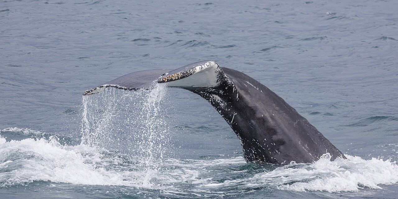
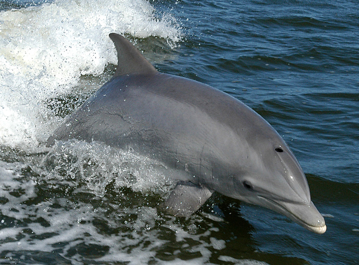
"Hier in kaart gebracht" soorten zijn door onze redacteurs toegevoegd op basis van de bronnen op deze pagina. Aantallen zijn GBIF-waarnemingsrecords: observaties vastgelegd binnen ongeveer 5 km van de aangegeven positie sinds 1990, uitsluitend vergeleken met de soorten in onze catalogus. Ze laten zien wat er is waargenomen, niet wat je zeker zult zien.
Voor fotografen
Groothoek: ★★★★★ · Macro: ★☆☆☆☆ (redacteursbeoordeling 1–5 van wat deze locatie biedt voor elke fotostijl)