Mbotyi & Waterfall Bluff
Глубина — это диапазон от верхней точки сайта до обычного максимума; «рекомендуемый сертификат» — это уровень, который операторы обычно запрашивают согласно стандартам mainstream-агентств, а не юридическое требование. Течения и видимость меняются ежедневно — используйте все данные здесь как ориентиры для планирования.
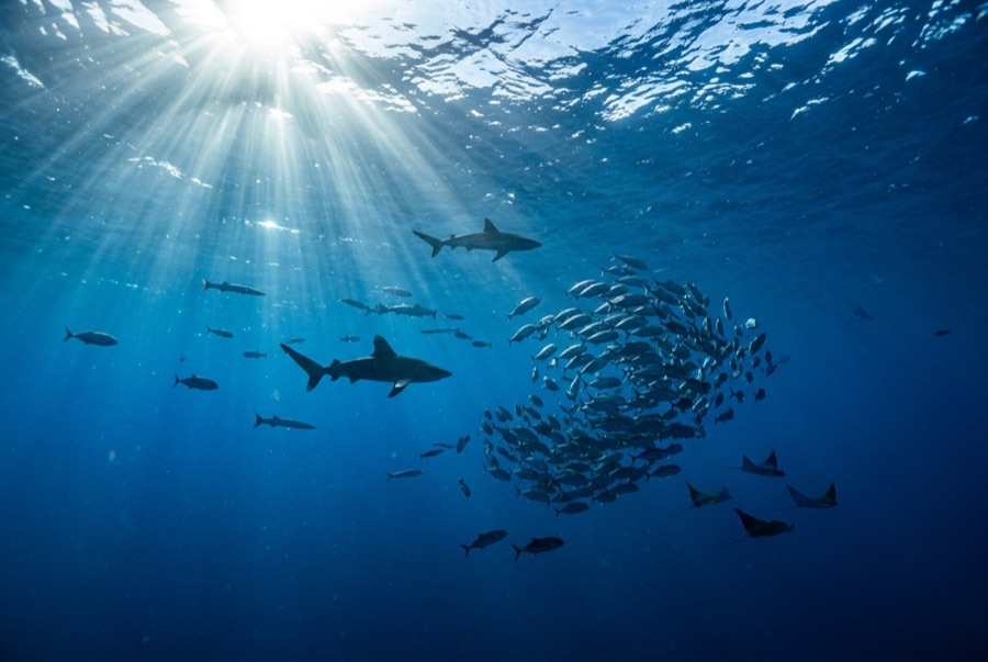
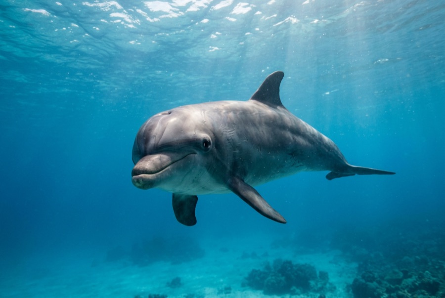
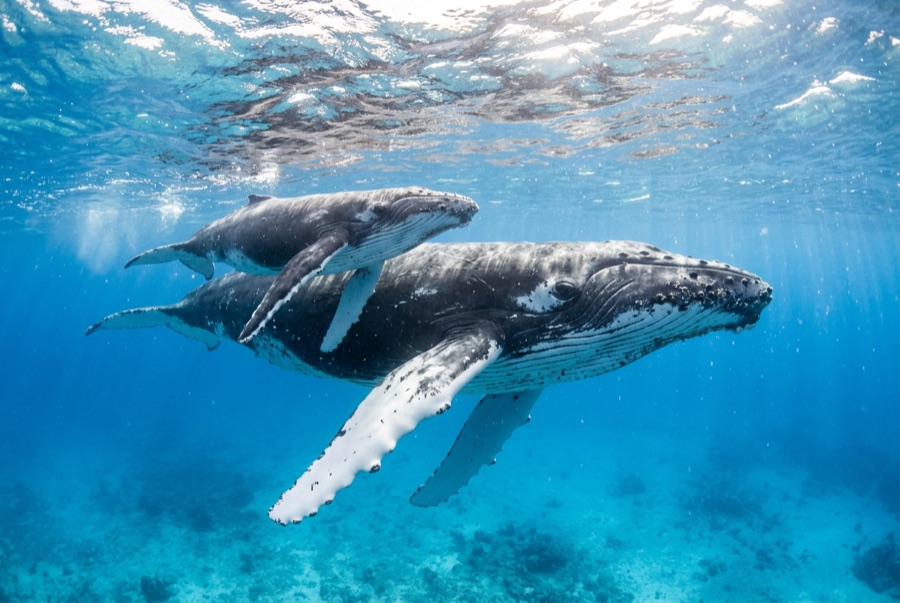
Northeast of Port St Johns, the village of Mbotyi stages expeditions along the run's most cinematic stretch — the cliff line where Waterfall Bluff drops its stream directly into the sea. The sardine dynamics mirror PSJ's: cold-water pulses squeeze shoals against the coast, gannet stacks mark the action, and crews sprint the RIBs to whatever forms. With fewer operators based here, a good bait ball can belong to one boat alone. Between events the coastline itself does the entertaining — humpbacks breaching on the horizon, dolphins bow-riding, waterfalls on green cliffs — and the tiny lodge scene keeps the expedition feel undiluted.
Момент, ради которого вы приехали: Low-traffic staging with the Waterfall Bluff backdrop; one-boat bait balls when luck lands
Рельеф дна: Open water along the cliffed coast between Mbotyi and Waterfall Bluff
Течение: Same shelf dynamics as Port St Johns with even fewer boats; weather rules every launch decision.
Узнай до того, как войдёшь в воду
Опасности: Isolation on top of the run's standard hazards; evacuation from this coast is slow.
Охрана природы: Remote coastline with no rescue infrastructure — operators run conservative calls by necessity.
Кого вы встретите
Для фотографов
Широкий угол: ★★★★★ · Макро: ★☆☆☆☆ — редакторская оценка от 1 до 5 — что это место даёт каждому стилю съёмки