Mbotyi & Waterfall Bluff
Derinlik, dalış noktasının tepesinden olağan maksimumuna kadar olan aralıktır; "önerilen sertifika" ise operatörlerin genellikle talep ettiği ana akım ajans düzeyidir, yasal bir kural değildir. Akıntı ve görüş her gün değişir, bu nedenle buradaki her şeyi planlama aralığı olarak değerlendirin.
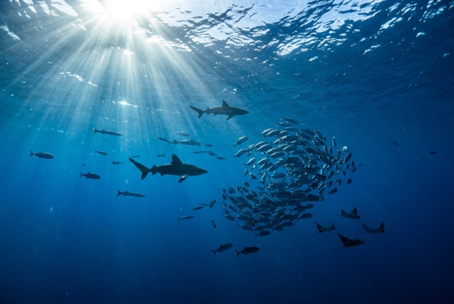
Northeast of Port St Johns, the village of Mbotyi stages expeditions along the run's most cinematic stretch: the cliff line where Waterfall Bluff drops its stream directly into the sea. The sardine dynamics mirror PSJ's: cold-water pulses squeeze shoals against the coast, gannet stacks mark the action, and crews sprint the RIBs to whatever forms. With fewer operators based here, a good bait ball can belong to one boat alone. Between events the coastline itself does the entertaining (humpbacks breaching on the horizon, dolphins bow-riding, waterfalls on green cliffs), and the tiny lodge scene keeps the expedition feel undiluted.
Tam da bunun için geldiğiniz an: Low-traffic staging with the Waterfall Bluff backdrop; one-boat bait balls when luck lands
Topografya: Open water along the cliffed coast between Mbotyi and Waterfall Bluff
Akıntı: Same shelf dynamics as Port St Johns with even fewer boats; weather rules every launch decision.
Suya girmeden önce bilinmesi gerekenler
Tehlikeler: Isolation on top of the run's standard hazards; evacuation from this coast is slow.
Koruma: Remote coastline with no rescue infrastructure: operators run conservative calls by necessity.
Kimlerle karşılaşacaksınız
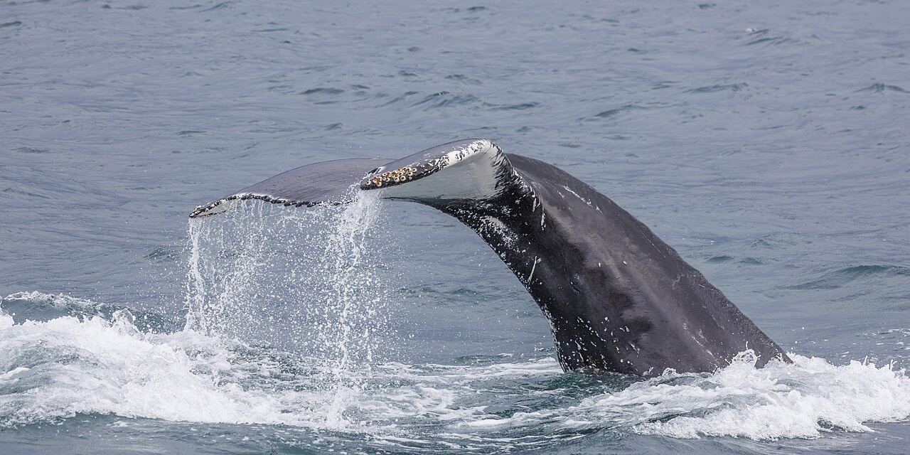
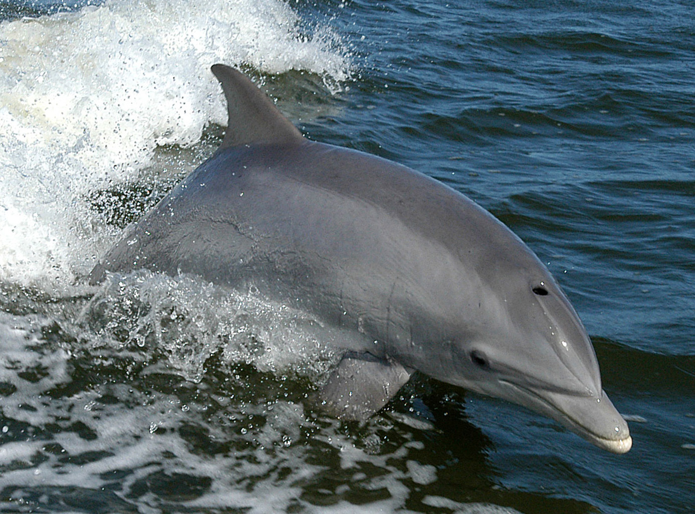
"Burada haritalanan" türler, editörlerimiz tarafından bu sayfadaki kaynaklardan listelenmiştir. Sayılar, GBIF kayıt sayılarıdır: 1990'dan itibaren haritalanan konumun yaklaşık 5 km çevresinde kaydedilen ve yalnızca kataloğumuzdaki türlerle eşleştirilen gözlemlerdir. Burada nelerin görüldüğünü gösterirler; neleri göreceğinizin garantisi değildir.
Fotoğrafçılar için
Geniş açı: ★★★★★ · Makro: ★☆☆☆☆ (editörlerin her çekim tarzı için bu noktanın sunduğunu 1–5 üzerinden değerlendirmesi)