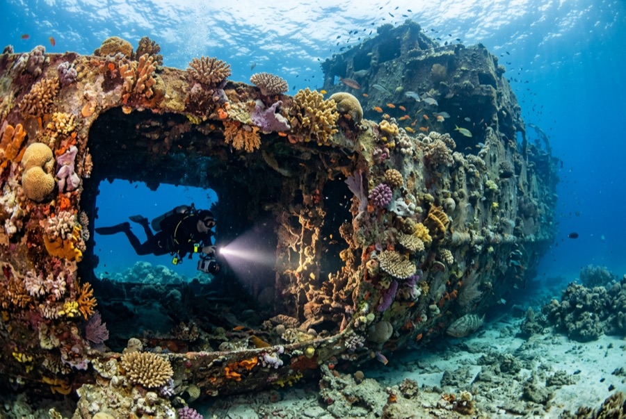
Ennerdale Wreck
La profondeur correspond à la plage allant du sommet du site jusqu'à son maximum habituel ; le « niveau recommandé » est le niveau demandé en général par les opérateurs auprès des grandes agences, pas une règle légale. Les courants et la visibilité varient chaque jour, traitez donc tout cela comme des plages indicatives de planification.
The RFA Ennerdale, a British fleet tanker, struck an uncharted rock and sank off Mahé in 1970; her crew got off safely, and demolition of the fuel-laden hull afterward left the wreck broken open rather than intact. That suits the fish fine. Fifty-plus years on, the plates, ribs, and machinery spaces form a steel reef where giant morays lie thick (several to a section), grouper shelter under the hull curves, batfish escort divers along the length, and rays rest on the surrounding sand. Depth and occasional milky visibility make it an advanced dive; penetration is not the point, life is.
Le moment pour lequel vous venez: Moray-dense broken tanker; grouper and rays around 30-meter sand
Topographie: Broken tanker wreckage spread across flat sand at around 30 meters
Courant: Sits in open water northeast of Victoria; mild current with occasional low-visibility days.
À savoir avant de plonger
Dangers: Depth for the full tour, jagged steel, and changeable visibility.
Conservation: The wreckage is sharp and unstable in places: look through openings, do not enter.
Nitrox: Pertinent ici : les profils se situent dans la plage où le nitrox prolonge significativement le temps sans palier (avec la formation pour l'utiliser).
Qui vous croiserez
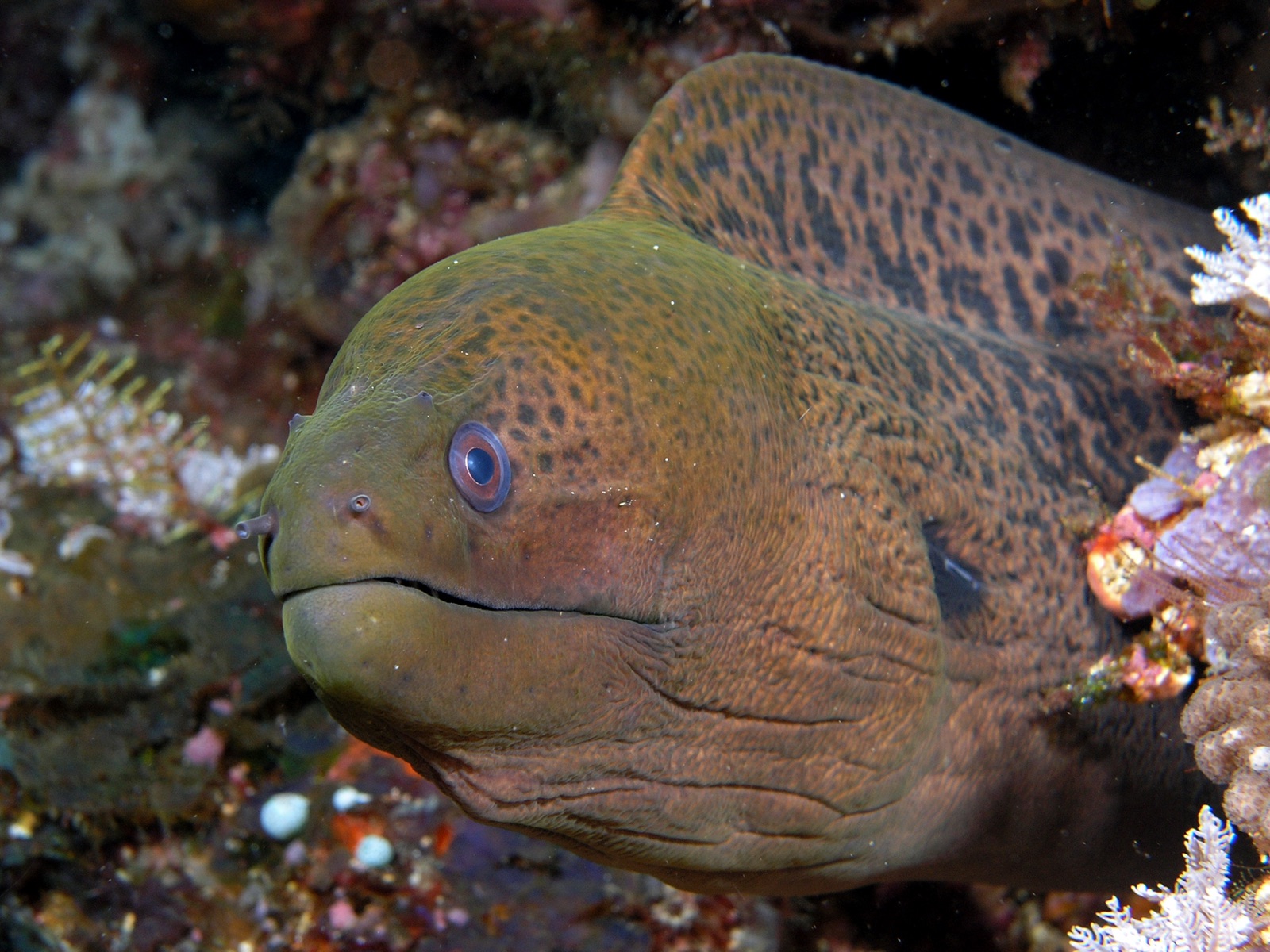
Giant Moray Eel
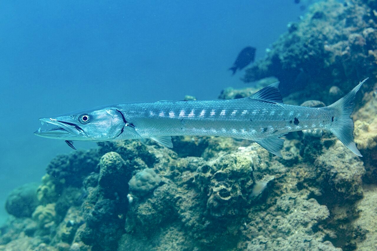
Great Barracuda

Lionfish
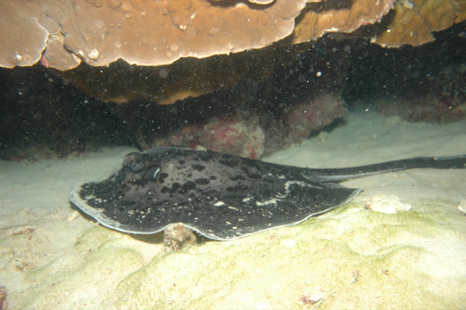
Marbled Ray
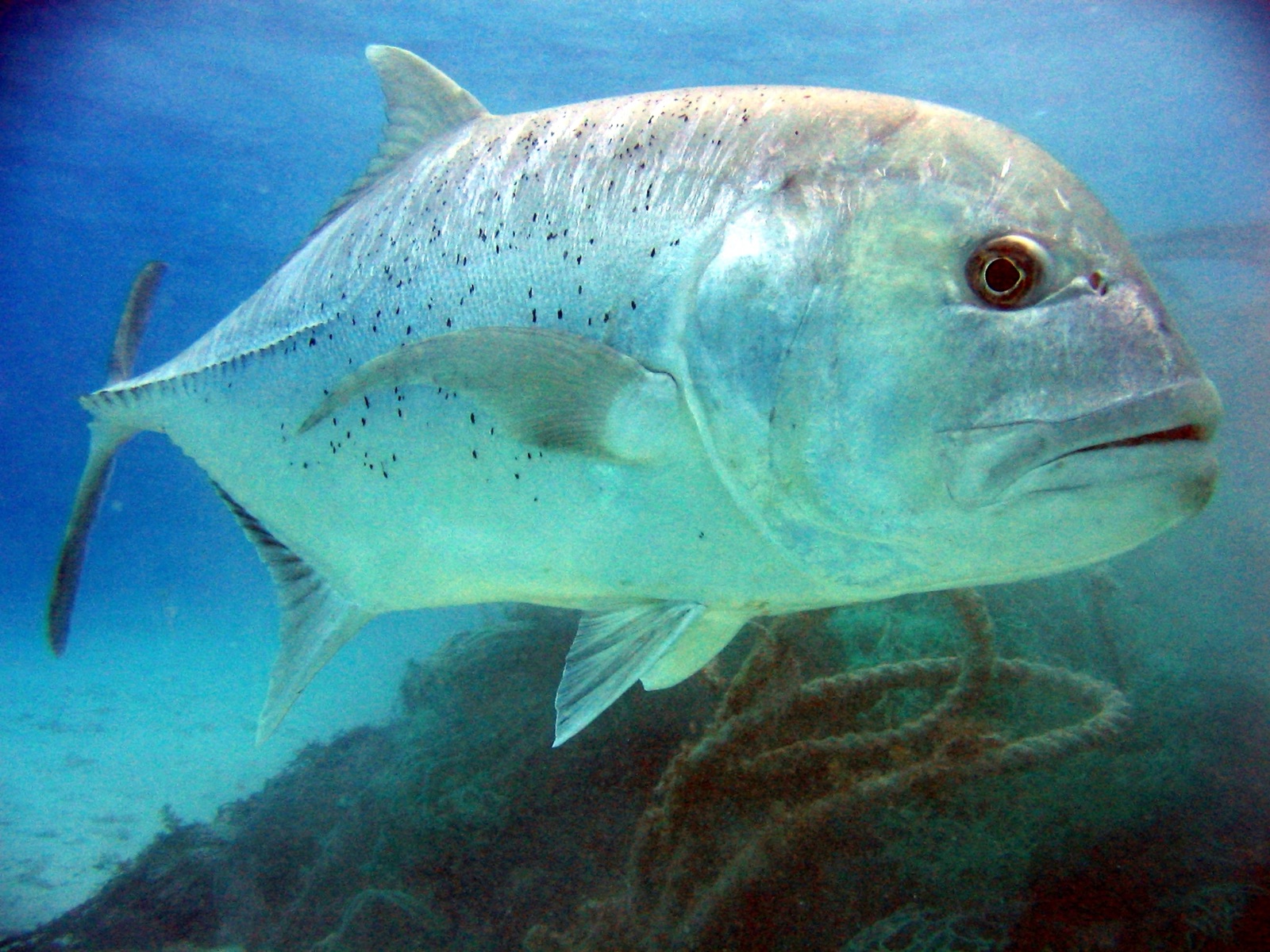
Giant Trevally
Les espèces « cartographiées ici » ont été répertoriées par nos éditeurs à partir des sources indiquées sur cette page. Les comptages correspondent aux occurrences GBIF : observations enregistrées dans un rayon d'environ 5 km autour de la position cartographiée depuis 1990, comparées uniquement aux espèces de notre catalogue. Ils indiquent ce qui a été observé à cet endroit, sans garantir ce que vous y verrez.
Pour les photographes
Grand angle: ★★★☆☆ · Macro: ★★★☆☆ (note 1–5 des éditeurs sur ce que ce site offre à chaque style de prise de vue)