
Mary Island
العمق هو النطاق من سطح الموقع إلى أقصى عمق معتاد؛ و"الشهادة الموصى بها" هي المستوى الذي تطلبه معظم الجهات المشغّلة وفق الوكالات الرئيسية، وليست قاعدة قانونية. تتغير التيارات والرؤية يومياً — اعتبر كل ما هنا نطاقات للتخطيط فحسب.
Mary Island — Mborokua on the charts — is an uninhabited volcanic cone in open water, and its points are fish traps in the best sense. Barracuda school here in genuinely huge, rotating columns; bigeye trevally form a second storm below them; and gray reef sharks thread the whole structure while dogtooth tuna make passes from the blue. The reef itself is sturdy rather than delicate, built for the current that feeds it. Dives run as slow drifts along the points, divers tucked against the slope watching traffic. Between the crowds of fish and the absence of any village, the island feels like the Solomons with the volume turned all the way up.
اللحظة التي جئت من أجلها: Barracuda columns in the thousands; trevally storms; steady gray reef shark traffic on the points.
التضاريس: Steep volcanic reef slopes and points dropping into deep, clear open water
التيار: The points concentrate flow, and the fish concentrate with it.
نقطة الدخول: An uninhabited volcanic island between the Russells and the New Georgia group; liveaboard territory, dived on the points where current runs.
اعرف قبل أن تقفز في الماء
المخاطر: Current on the points; open-water exposure and long liveaboard distances from help.
الحفاظ على البيئة البحرية: An unpopulated island whose reefs stay rich precisely because visits are few — no anchoring on the points, no take of any kind.
نيتروكس: يستحق هنا — تقع البروفايلات في النطاق الذي يمدّد فيه النيتروكس وقت التوقف اللاإلزامي بشكل ملموس (بشرط امتلاك التدريب اللازم لاستخدامه).
من ستلتقي
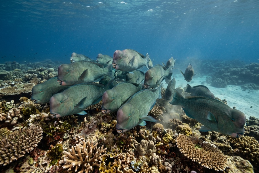
Bumphead Parrotfish
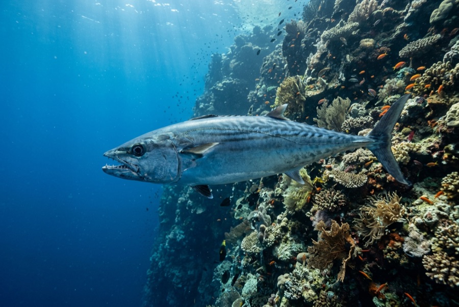
Dogtooth Tuna
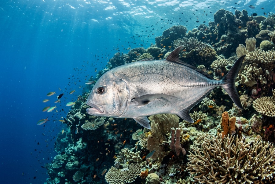
Giant Trevally
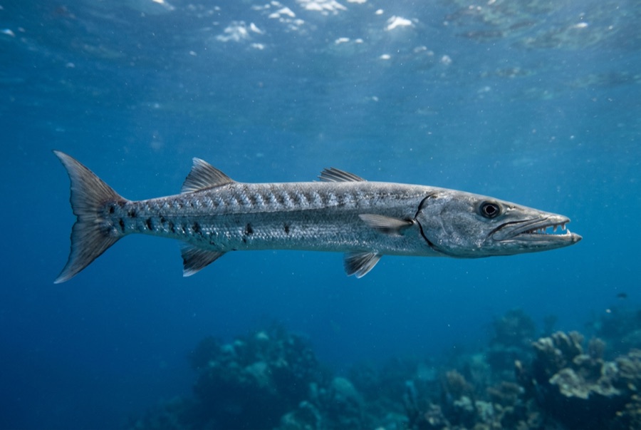
Great Barracuda
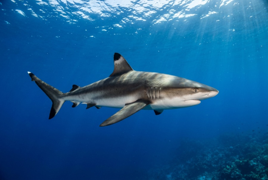
Grey Reef Shark
للمصوّرين
زاوية واسعة: ★★★★★ · الماكرو: ★☆☆☆☆ — تقييم المحرّرين من 1 إلى 5 لما يتيحه هذا الموقع لكل أسلوب تصوير