
Mary Island
Depth is the range from the top of the site to its usual maximum; "recommended cert" is the mainstream-agency level operators usually ask for, not a legal rule. Currents and visibility change daily — treat everything here as planning ranges.
Mary Island — Mborokua on the charts — is an uninhabited volcanic cone in open water, and its points are fish traps in the best sense. Barracuda school here in genuinely huge, rotating columns; bigeye trevally form a second storm below them; and gray reef sharks thread the whole structure while dogtooth tuna make passes from the blue. The reef itself is sturdy rather than delicate, built for the current that feeds it. Dives run as slow drifts along the points, divers tucked against the slope watching traffic. Between the crowds of fish and the absence of any village, the island feels like the Solomons with the volume turned all the way up.
The moment you come for: Barracuda columns in the thousands; trevally storms; steady gray reef shark traffic on the points.
Topography: Steep volcanic reef slopes and points dropping into deep, clear open water
Current: The points concentrate flow, and the fish concentrate with it.
Entry: An uninhabited volcanic island between the Russells and the New Georgia group; liveaboard territory, dived on the points where current runs.
Know before you splash
Hazards: Current on the points; open-water exposure and long liveaboard distances from help.
Conservation: An unpopulated island whose reefs stay rich precisely because visits are few — no anchoring on the points, no take of any kind.
Nitrox: Worth it here — profiles sit in the range where enriched air meaningfully extends no-stop time (with the training to use it).
Who you'll meet
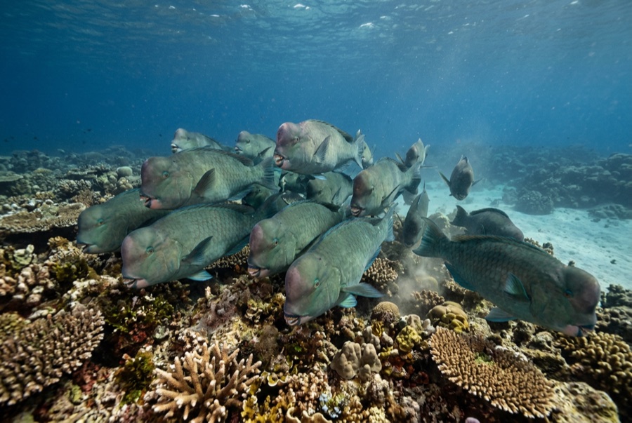
Bumphead Parrotfish
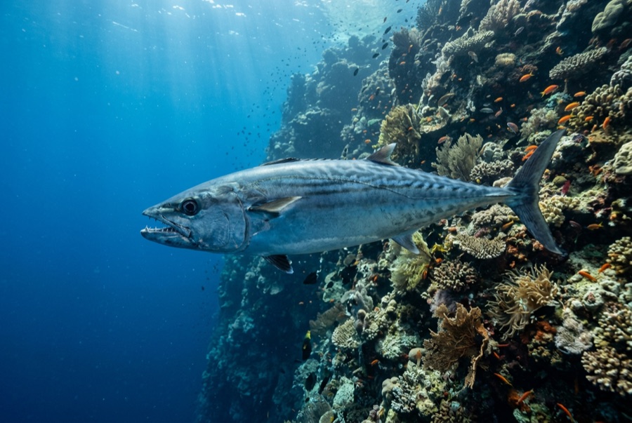
Dogtooth Tuna
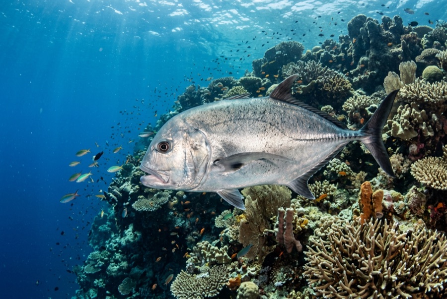
Giant Trevally
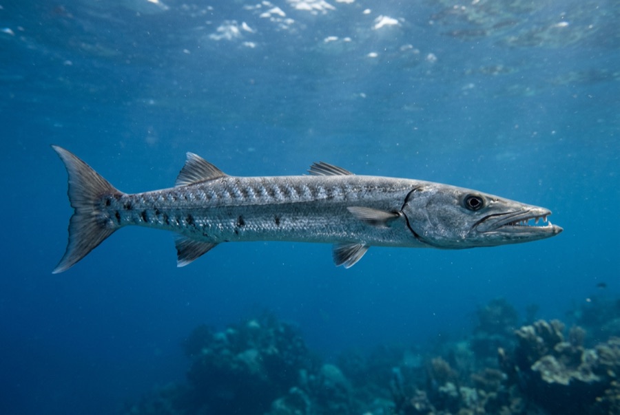
Great Barracuda
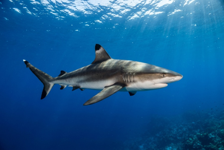
Grey Reef Shark
For photographers
Wide angle: ★★★★★ · Macro: ★☆☆☆☆ — editors' 1–5 rating of what this site gives each style of shooting