Mary Island
La profundidad es el rango desde la cima del punto de buceo hasta su máximo habitual; la "certificación recomendada" es el nivel que los operadores suelen pedir según las agencias principales, no una norma legal. Las corrientes y la visibilidad cambian a diario, así que trata todo esto como rangos de planificación.
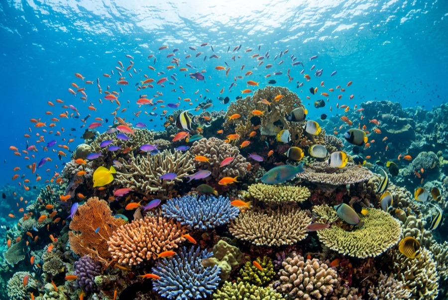
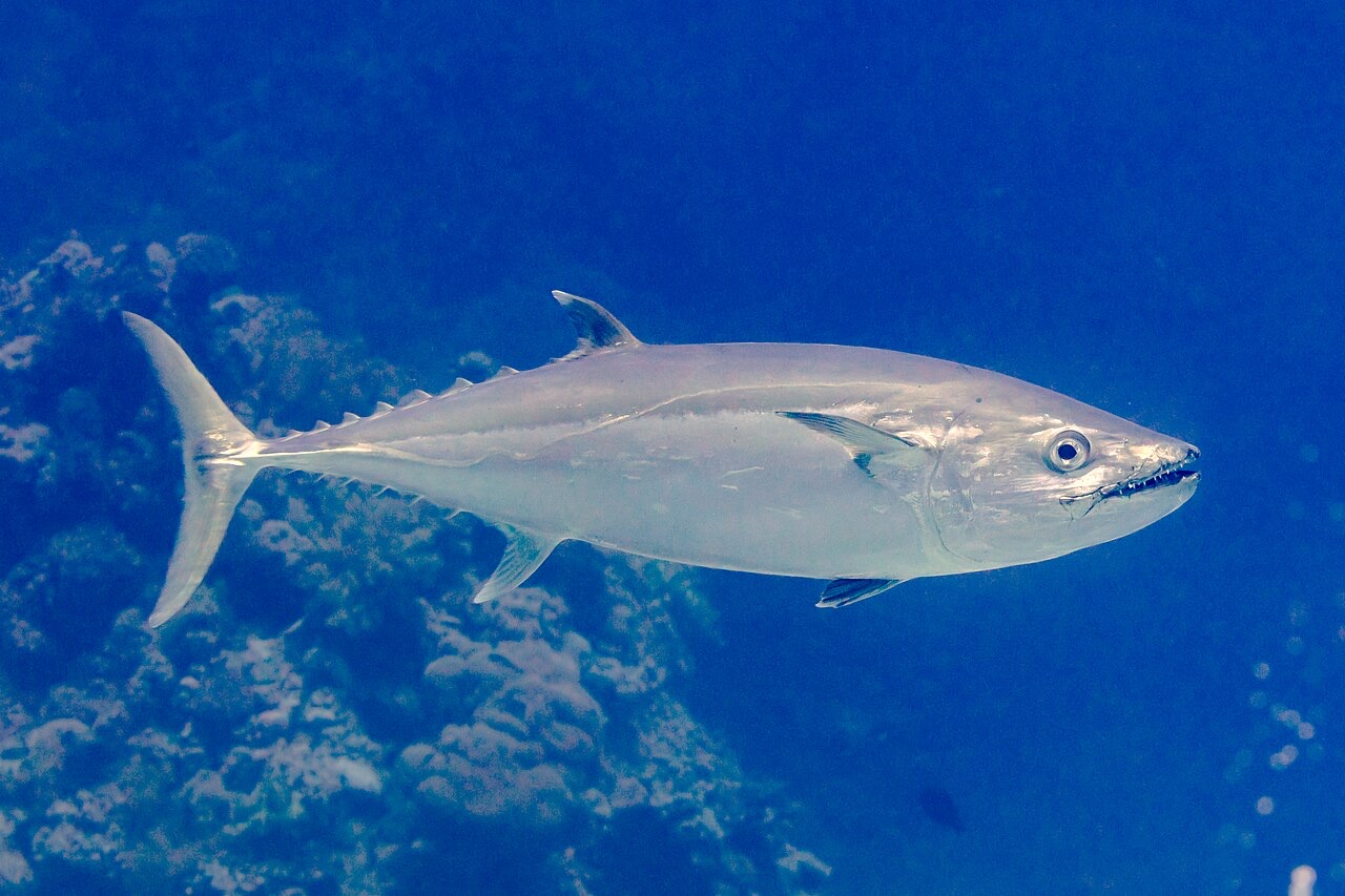
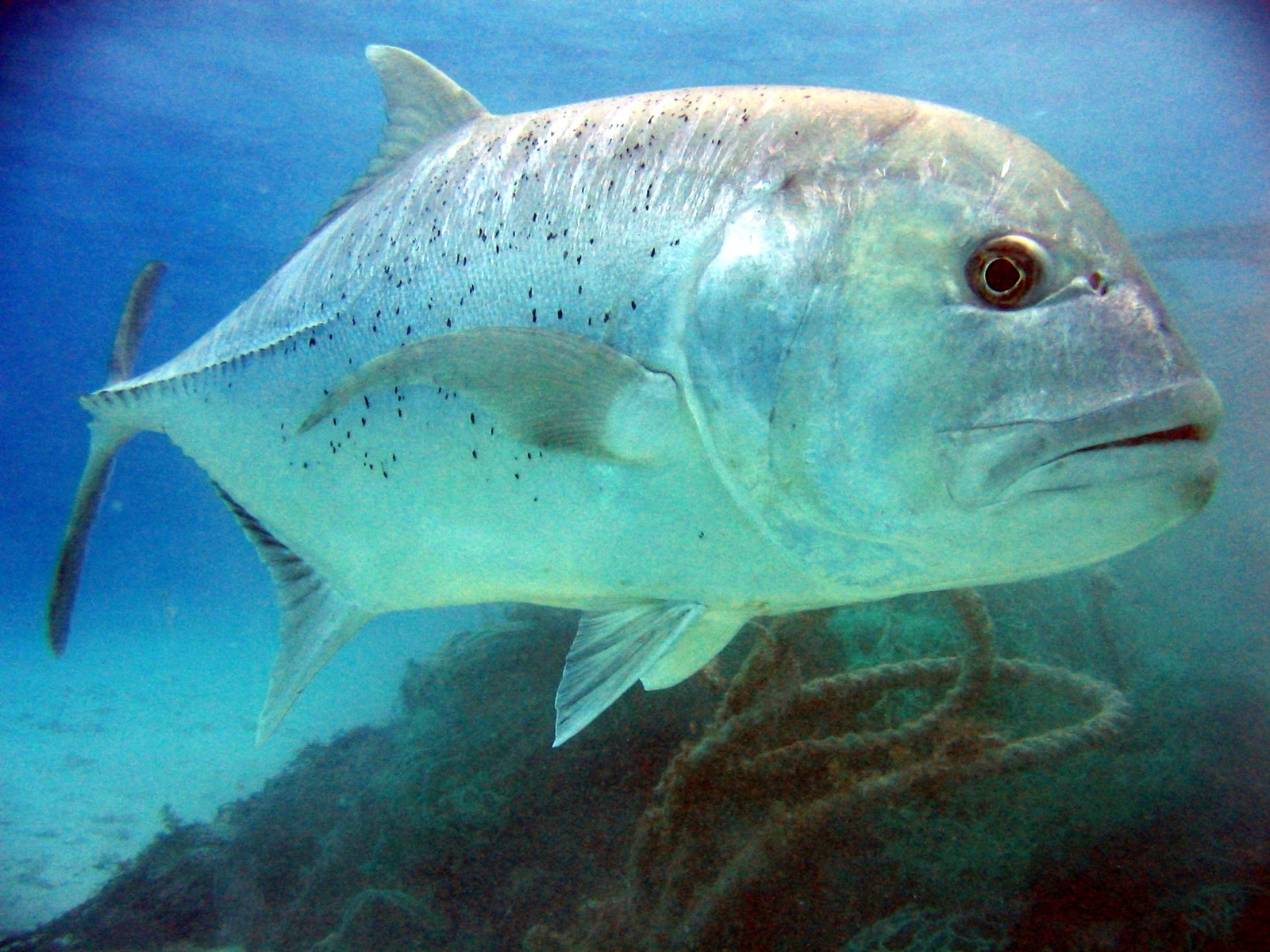
Mary Island, Mborokua on the charts, is an uninhabited volcanic cone in open water, and its points are fish traps in the best sense. Barracuda school here in genuinely huge, rotating columns; bigeye trevally form a second storm below them; and gray reef sharks thread the whole structure while dogtooth tuna make passes from the blue. The reef itself is sturdy rather than delicate, built for the current that feeds it. Dives run as slow drifts along the points, divers tucked against the slope watching traffic. Between the crowds of fish and the absence of any village, the island feels like the Solomons with the volume turned all the way up.
El momento por el que vienes: Barracuda columns in the thousands; trevally storms; steady gray reef shark traffic on the points.
Topografía: Steep volcanic reef slopes and points dropping into deep, clear open water
Corriente: The points concentrate flow, and the fish concentrate with it.
Entrada: An uninhabited volcanic island between the Russells and the New Georgia group; liveaboard territory, dived on the points where current runs.
Lo que debes saber antes de tirarte al agua
Riesgos: Current on the points; open-water exposure and long liveaboard distances from help.
Conservación: An unpopulated island whose reefs stay rich precisely because visits are few: no anchoring on the points, no take of any kind.
Nitrox: Vale la pena aquí: los perfiles están en el rango donde el nitrox amplía de forma significativa el tiempo sin parada (con la formación necesaria para usarlo).
A quién encontrarás
Dogtooth Tuna
Bumphead Parrotfish
Giant Trevally

Great Barracuda
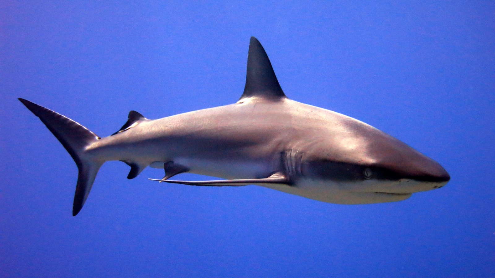
Grey Reef Shark

Nudibranchs

Clownfish & Anemonefish
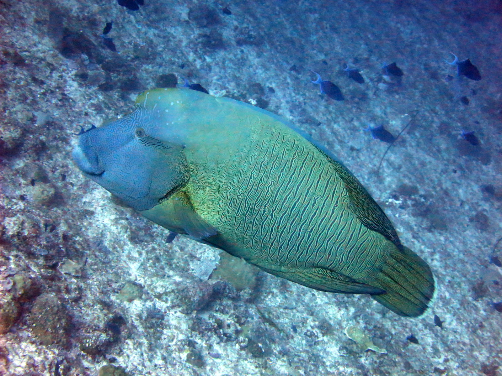
Napoleon (Humphead) Wrasse
También registrado cerca
Las especies "aquí registradas" fueron añadidas por nuestros editores a partir de las fuentes de esta página. Los recuentos son registros de ocurrencia de GBIF: observaciones anotadas en un radio de unos 5 km de la posición registrada desde 1990, cotejadas únicamente con las especies de nuestro catálogo. Muestran lo que se ha avistado allí, no una garantía de lo que verás.
Para fotógrafos
Gran angular: ★★★★★ · Macro: ★☆☆☆☆ (valoración de 1 a 5 de los editores sobre lo que ofrece este sitio para cada estilo de fotografía)