Situs selam, musim, dan kehidupan laut — diteliti, dipetakan, direncanakan.
Menu
Destinasi Lokasi Selam Kehidupan Laut Bangkai kapal Berita
Rencanakan perjalanan Perencana trip Kapan waktu terbaik menyelam Kalkulator biaya Perbandingan Kalender kehidupan laut Suhu air Liveaboard Operator & resor Taman laut Ruang hiperbarik Peta dunia
Wilayah Australia, Selandia Baru & Asia TimurKaribia & Atlantik BaratEropa, Atlantik & MediteraniaSamudra Hindia & Afrika TimurKepulauan Pasifik & MikronesiaLaut Merah & Timur TengahAsia Tenggara & Segitiga Terumbu KarangAmerika & Pasifik Timur Negara
Pelajari & Alat Semua panduan Sertifikasi Panduan perlengkapan Video Tanya Data Agen AI API
Tentang Tentang kami Metodologi Penafian Kontak
Tampilan kamu
★ Tersimpan

Destinasi, lokasi selam, dan spesies favorit yang kamu bintangi — tersimpan di browser ini.

API GATEWAY

Akses JSON gratis hanya-baca ke data cache atlas.

Mode gelap

🧭 Tampilan Terpandu
Baru mengenal menyelam — kedalaman, arus, level sertifikasi? Kami menjelaskan setiap istilah saat kamu menjelajah, dalam bahasa yang mudah dipahami. Data yang sama, lengkap dengan panduan bawaan.

⚡ Tampilan Ahli
Kamu sudah tahu perbedaan antara wall dive dan drift dive. Cukup datanya — bersih, cepat, dan ringkas. Ini adalah tampilan default.

Bahasa antarmuka
Mary Island — illustrative image

Mary Island

Reef · Drift · Blue water 5–35 m Intermediate Solomon Islands, Solomon Islands
Ilustrasi hasil AI
Terdokumentasi Juga dikenal sebagai: Mborokua
Kedalaman
5–35 m / 16–115 ft
Kedalaman tipikal
18 m / 59 ft
Visibilitas
20–40 m / 66–131 ft
Air
28–30 °C / 82–86 °F
Arus
Moderate
Akses
Liveaboard
Sertifikasi yang disarankan
Advanced Open Water
Dive tipikal
~50 min

Kedalaman adalah rentang dari bagian teratas lokasi hingga maksimum biasanya; "sertifikasi yang direkomendasikan" adalah level yang umumnya diminta operator dari lembaga arus utama, bukan aturan hukum. Arus dan visibilitas berubah setiap hari — gunakan semua informasi di sini sebagai kisaran perencanaan saja.

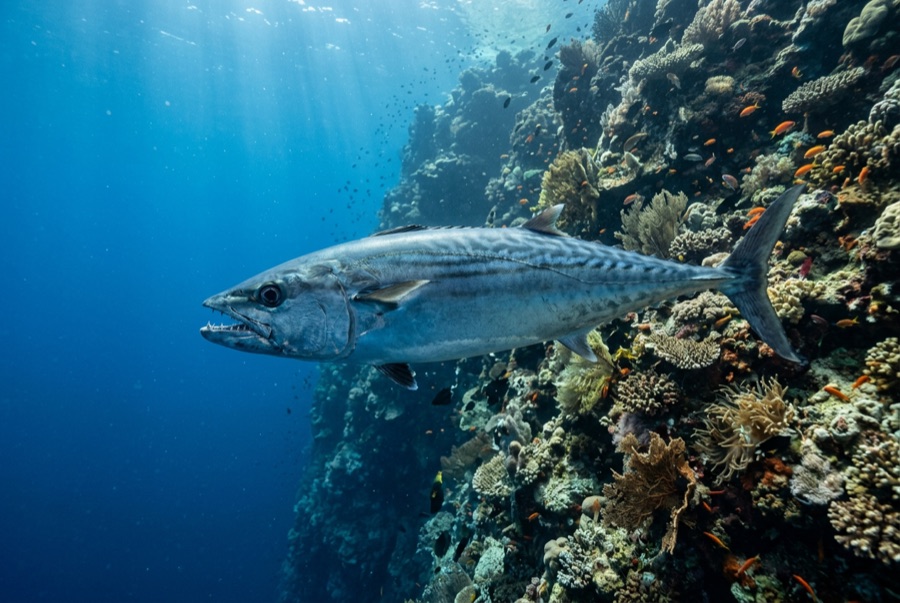
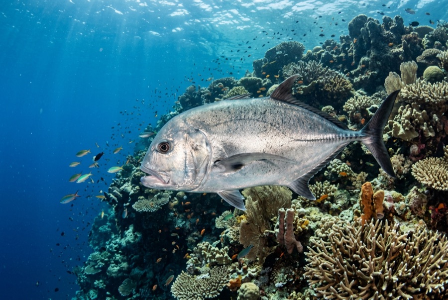
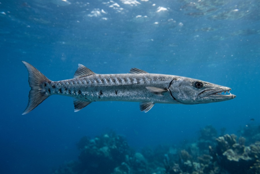
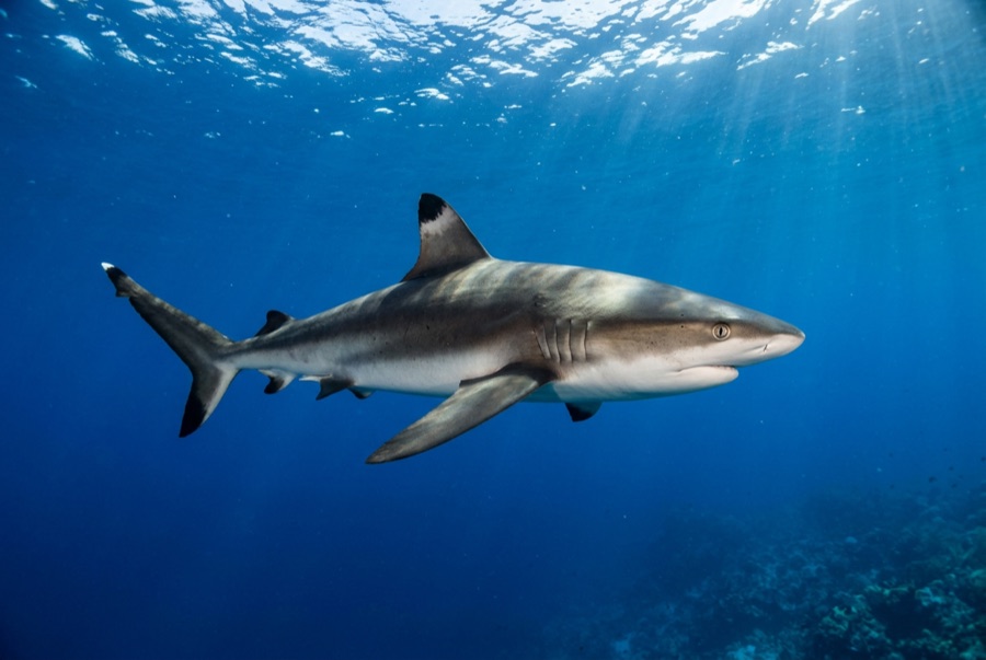
Mary Island — Mborokua on the charts — is an uninhabited volcanic cone in open water, and its points are fish traps in the best sense. Barracuda school here in genuinely huge, rotating columns; bigeye trevally form a second storm below them; and gray reef sharks thread the whole structure while dogtooth tuna make passes from the blue. The reef itself is sturdy rather than delicate, built for the current that feeds it. Dives run as slow drifts along the points, divers tucked against the slope watching traffic. Between the crowds of fish and the absence of any village, the island feels like the Solomons with the volume turned all the way up.

Momen yang Anda nantikan: Barracuda columns in the thousands; trevally storms; steady gray reef shark traffic on the points.

Topografi: Steep volcanic reef slopes and points dropping into deep, clear open water

Arus: The points concentrate flow, and the fish concentrate with it.

Entri: An uninhabited volcanic island between the Russells and the New Georgia group; liveaboard territory, dived on the points where current runs.

Ketahui sebelum kamu nyebur

Bahaya: Current on the points; open-water exposure and long liveaboard distances from help.

Konservasi: An unpopulated island whose reefs stay rich precisely because visits are few — no anchoring on the points, no take of any kind.

Nitrox: Layak di sini — profil berada dalam rentang di mana nitrox secara nyata memperpanjang waktu tanpa dekompresi (dengan pelatihan yang sesuai untuk menggunakannya).

Siapa yang akan kamu temui
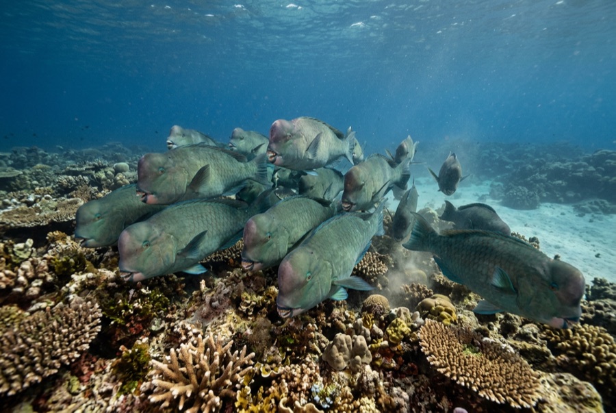
Untuk fotografer

Wide angle: ★★★★★ · Makro: ★☆☆☆☆ — penilaian 1–5 dari editor tentang apa yang ditawarkan lokasi ini untuk setiap gaya pemotretan

Australia, Selandia Baru & Asia Timur

Cairns & the Ribbon ReefsNingaloo ReefCoral Sea & Osprey ReefOkinawa & the Kerama IslandsPoor Knights IslandsTownsville & the YongalaGreen IslandIzu Peninsula

Karibia & Atlantik Barat

BonaireCozumelRiviera Maya & the CenotesBelize Barrier ReefGrand CaymanIsla Mujeres & CancúnRoatánTiger Beach & Grand Bahama

Eropa, Atlantik & Mediterania

Malta & GozoSilfra & IcelandThe AzoresCanary IslandsLarnaca & the ZenobiaScapa FlowArctic NorwayMadeira

Samudra Hindia & Afrika Timur

North & South Malé AtollsAri AtollBaa Atoll & Hanifaru BayAliwal Shoal & UmkomaasMafia IslandMauritiusSeychellesSodwana Bay

Kepulauan Pasifik & Mikronesia

PalauChuuk (Truk) LagoonFakaravaKona, HawaiʻiRangiroaTaveuni & Rainbow ReefBeqa Lagoon & Pacific HarbourEspiritu Santo

Laut Merah & Timur Tengah

Sharm El Sheikh & Ras MohammedBrothers, Daedalus & St John'sDahabHurghada & El GounaMarsa Alam & the Deep SouthAqabaDaymaniyat IslandsMusandam Peninsula

Asia Tenggara & Segitiga Terumbu Karang

Bali & Nusa PenidaKomodoRaja AmpatSipadan & MabulAnilaoCoronKoh TaoLembeh Strait

Amerika & Pasifik Timur

Galápagos IslandsCocos IslandFlorida KeysSea of Cortez & Cabo PulmoSocorro & the RevillagigedosBritish ColumbiaCalifornia Channel IslandsCosta Rica Pacific Coast