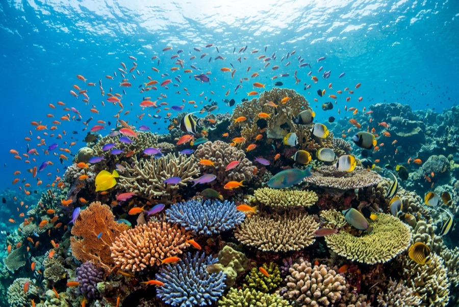
Mary Island
La profondità indica l'intervallo dalla sommità del sito al suo massimo abituale; il "brevetto consigliato" è il livello richiesto dalla maggior parte degli operatori delle principali agenzie, non una norma di legge. Correnti e visibilità cambiano ogni giorno, quindi considera tutto come intervalli di pianificazione.
Mary Island, Mborokua on the charts, is an uninhabited volcanic cone in open water, and its points are fish traps in the best sense. Barracuda school here in genuinely huge, rotating columns; bigeye trevally form a second storm below them; and gray reef sharks thread the whole structure while dogtooth tuna make passes from the blue. The reef itself is sturdy rather than delicate, built for the current that feeds it. Dives run as slow drifts along the points, divers tucked against the slope watching traffic. Between the crowds of fish and the absence of any village, the island feels like the Solomons with the volume turned all the way up.
Il momento che aspettavi: Barracuda columns in the thousands; trevally storms; steady gray reef shark traffic on the points.
Topografia: Steep volcanic reef slopes and points dropping into deep, clear open water
Corrente: The points concentrate flow, and the fish concentrate with it.
Entrata: An uninhabited volcanic island between the Russells and the New Georgia group; liveaboard territory, dived on the points where current runs.
Sapere prima di tuffarsi
Pericoli: Current on the points; open-water exposure and long liveaboard distances from help.
Conservazione: An unpopulated island whose reefs stay rich precisely because visits are few: no anchoring on the points, no take of any kind.
Nitrox: Vale la pena qui: i profili rientrano nell'intervallo in cui l'aria arricchita (nitrox) prolunga in modo significativo il tempo di non-decompressione (con la formazione necessaria per utilizzarla).
Chi incontrerai
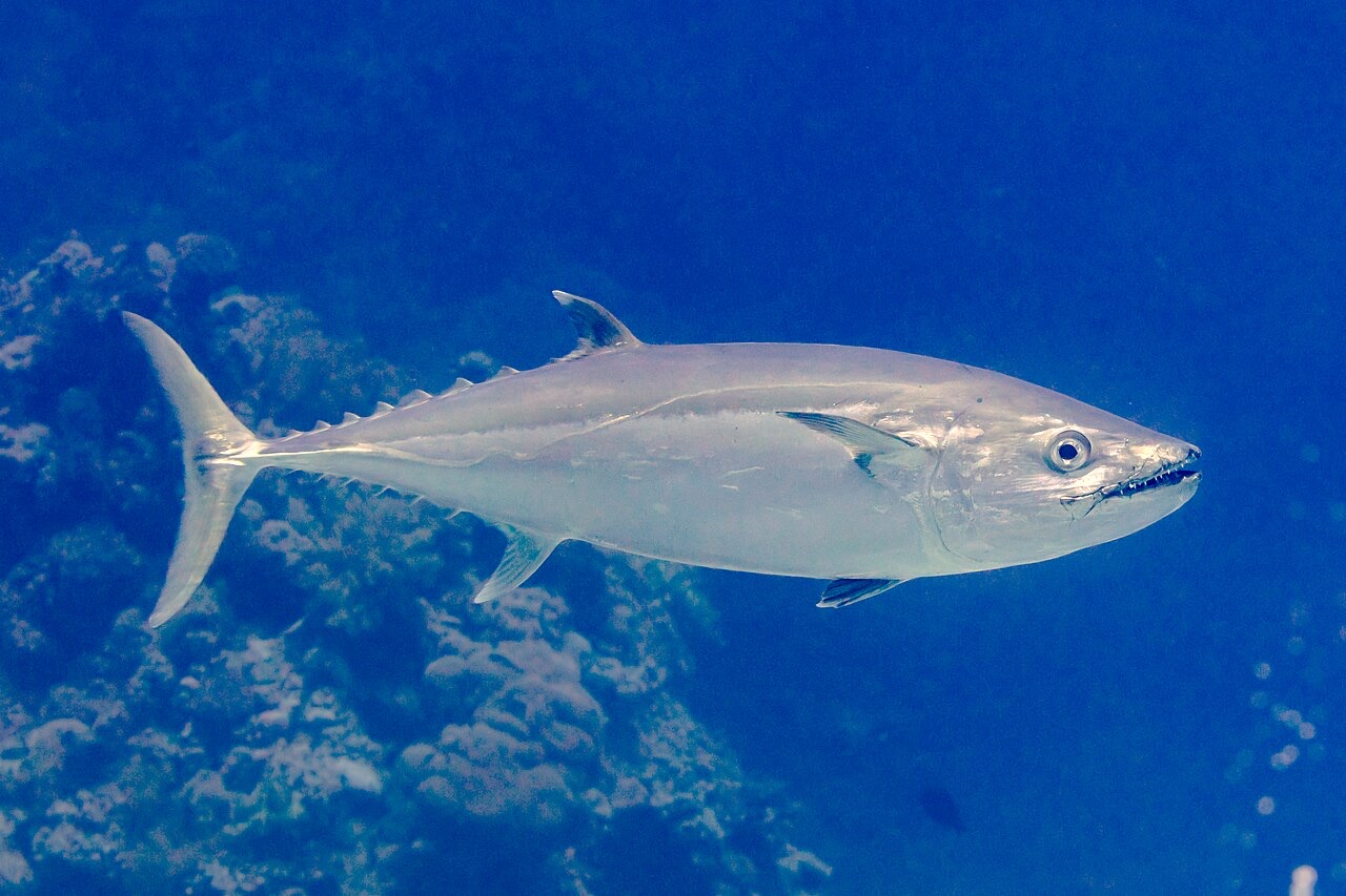
Dogtooth Tuna
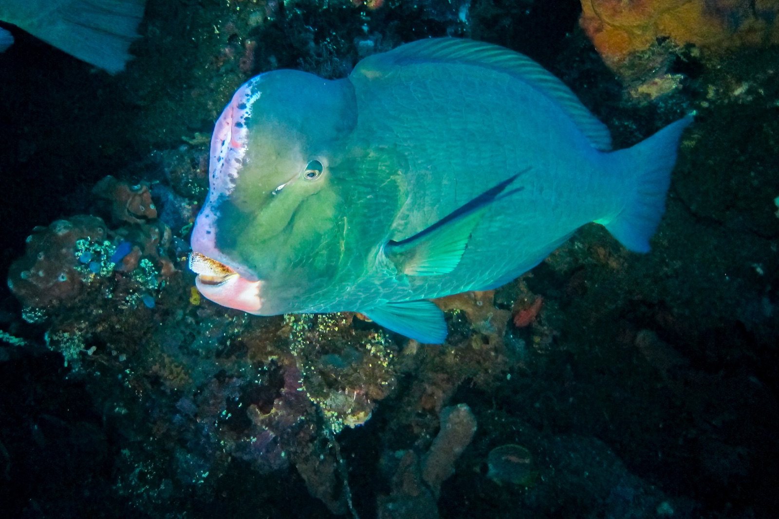
Bumphead Parrotfish
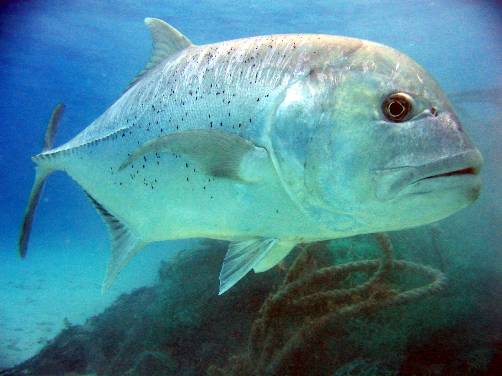
Giant Trevally

Great Barracuda
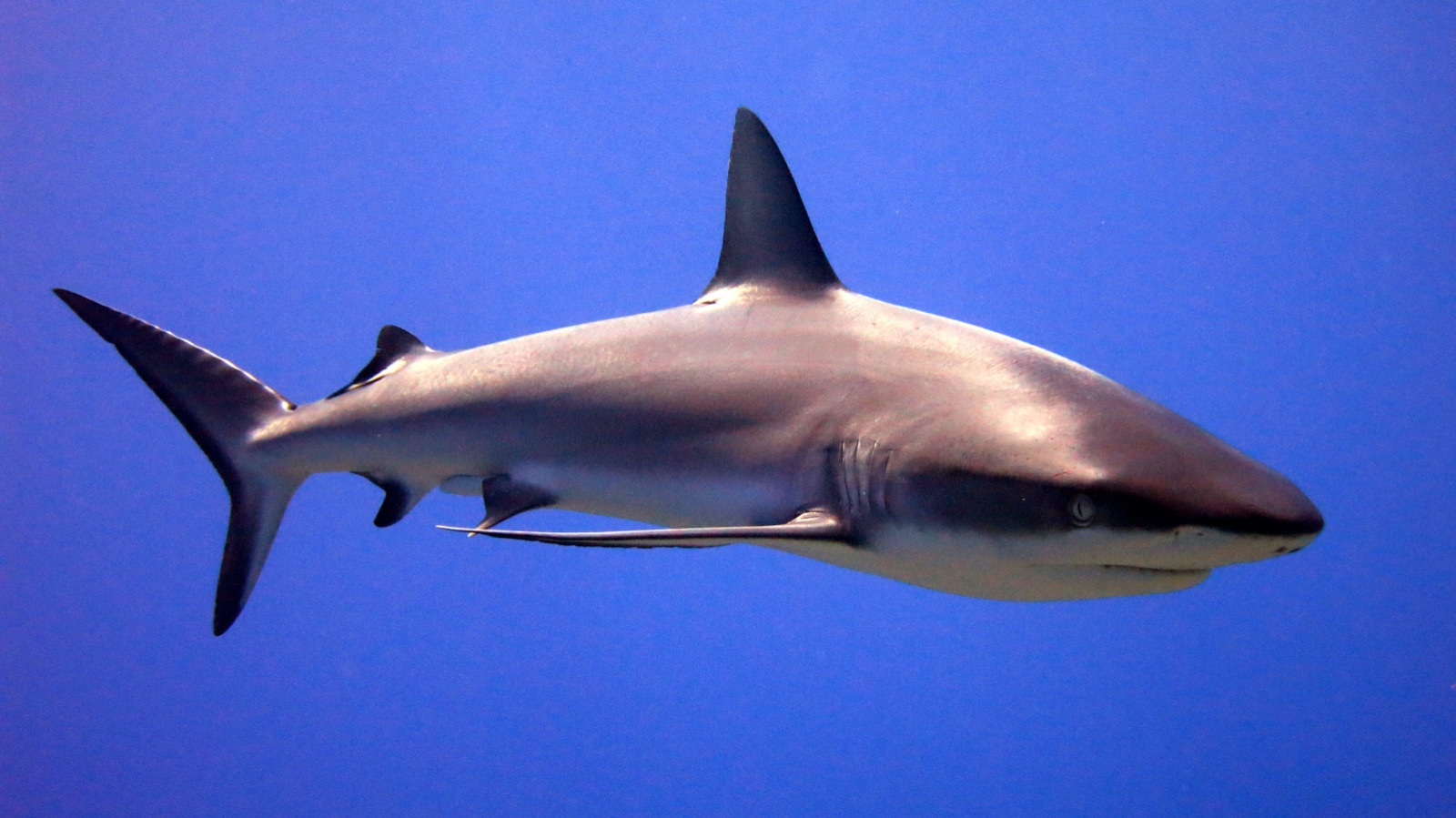
Grey Reef Shark

Nudibranchs

Clownfish & Anemonefish
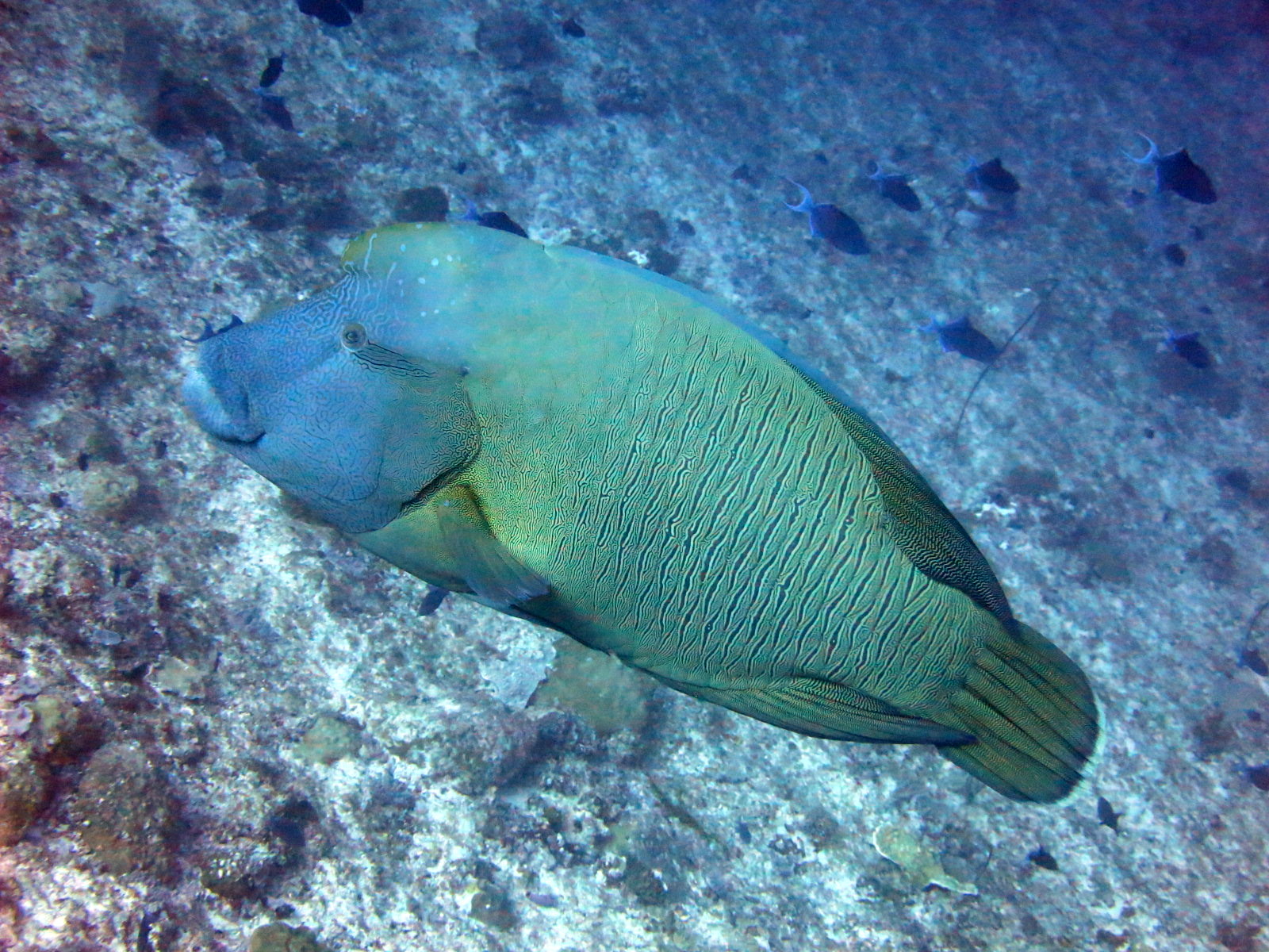
Napoleon (Humphead) Wrasse
Registrate anche nelle vicinanze
Le specie "schedate qui" sono state inserite dai nostri redattori a partire dalle fonti indicate in questa pagina. I conteggi sono record di occorrenza GBIF: osservazioni registrate entro circa 5 km dalla posizione indicata in carta a partire dal 1990, confrontate esclusivamente con le specie presenti nel nostro catalogo. Mostrano ciò che è stato avvistato in quel luogo, non una garanzia di ciò che vedrete.
Per i fotografi
Grandangolo: ★★★★★ · Macro: ★☆☆☆☆ (valutazione da 1 a 5 dei redattori su ciò che questo sito offre per ogni stile di ripresa)