
Mary Island
수심은 사이트 상단부터 통상적인 최대 수심까지의 범위이며, '권장 자격증'은 업체에서 통상적으로 요구하는 주요 인증 기관 기준이지 법적 규정이 아닙니다. 조류와 시야는 매일 달라지므로, 모든 정보는 계획 수립용 참고 범위로 활용하세요.
Mary Island — Mborokua on the charts — is an uninhabited volcanic cone in open water, and its points are fish traps in the best sense. Barracuda school here in genuinely huge, rotating columns; bigeye trevally form a second storm below them; and gray reef sharks thread the whole structure while dogtooth tuna make passes from the blue. The reef itself is sturdy rather than delicate, built for the current that feeds it. Dives run as slow drifts along the points, divers tucked against the slope watching traffic. Between the crowds of fish and the absence of any village, the island feels like the Solomons with the volume turned all the way up.
바로 그 순간: Barracuda columns in the thousands; trevally storms; steady gray reef shark traffic on the points.
지형: Steep volcanic reef slopes and points dropping into deep, clear open water
조류: The points concentrate flow, and the fish concentrate with it.
진입: An uninhabited volcanic island between the Russells and the New Georgia group; liveaboard territory, dived on the points where current runs.
입수 전에 알아두세요
위험 요소: Current on the points; open-water exposure and long liveaboard distances from help.
보존: An unpopulated island whose reefs stay rich precisely because visits are few — no anchoring on the points, no take of any kind.
나이트록스: 여기서는 가치 있습니다 — 수치 범위상 나이트록스를 사용하면 무감압 시간을 의미 있게 연장할 수 있습니다(단, 관련 교육 이수 필요).
만날 수 있는 생물
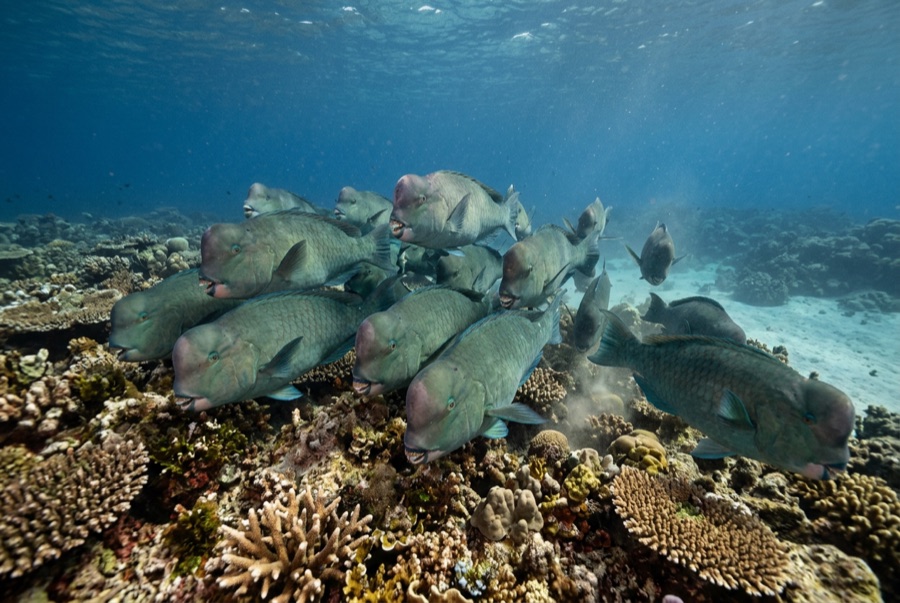
Bumphead Parrotfish
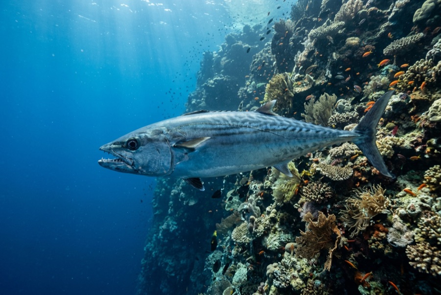
Dogtooth Tuna
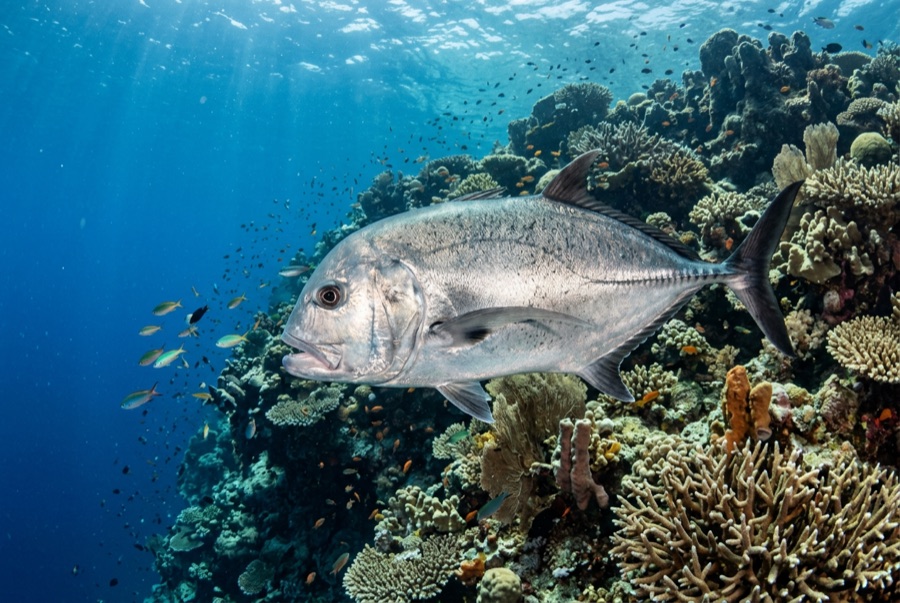
Giant Trevally
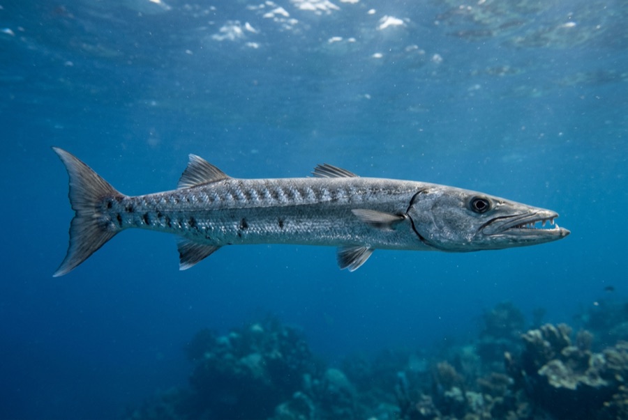
Great Barracuda
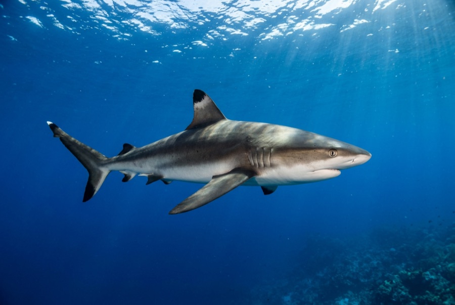
Grey Reef Shark
수중 촬영자를 위한 정보
광각: ★★★★★ · 마크로: ★☆☆☆☆ — 각 촬영 스타일에 대한 에디터의 1–5점 평가