
Mary Island
Diepte is het bereik van de top van de duiklocatie tot het gebruikelijke maximum; 'aanbevolen certificering' is het niveau dat operators doorgaans vragen volgens de gangbare opleidingsorganisaties, geen wettelijke vereiste. Stromingen en zicht wisselen dagelijks — beschouw alles hier als planningsindicaties.
Mary Island — Mborokua on the charts — is an uninhabited volcanic cone in open water, and its points are fish traps in the best sense. Barracuda school here in genuinely huge, rotating columns; bigeye trevally form a second storm below them; and gray reef sharks thread the whole structure while dogtooth tuna make passes from the blue. The reef itself is sturdy rather than delicate, built for the current that feeds it. Dives run as slow drifts along the points, divers tucked against the slope watching traffic. Between the crowds of fish and the absence of any village, the island feels like the Solomons with the volume turned all the way up.
Het moment waar je voor komt: Barracuda columns in the thousands; trevally storms; steady gray reef shark traffic on the points.
Topografie: Steep volcanic reef slopes and points dropping into deep, clear open water
Stroming: The points concentrate flow, and the fish concentrate with it.
Instap: An uninhabited volcanic island between the Russells and the New Georgia group; liveaboard territory, dived on the points where current runs.
Weet dit voordat je het water in gaat
Gevaren: Current on the points; open-water exposure and long liveaboard distances from help.
Behoud: An unpopulated island whose reefs stay rich precisely because visits are few — no anchoring on the points, no take of any kind.
Nitrox: Het loont hier — profielen liggen in het bereik waarbij nitrox de no-stop tijd zinvol verlengt (mits je de opleiding hebt om het te gebruiken).
Wie je tegenkomt
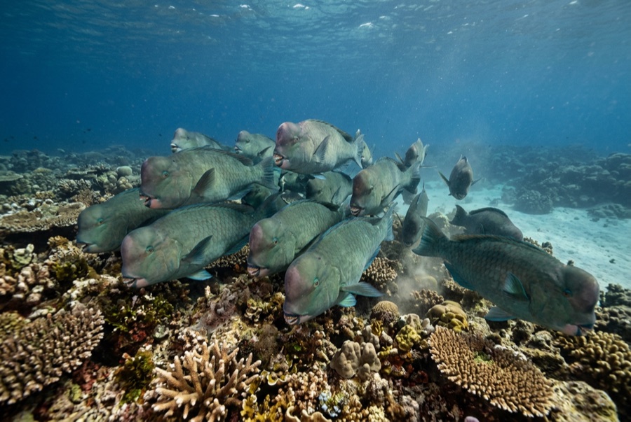
Bumphead Parrotfish
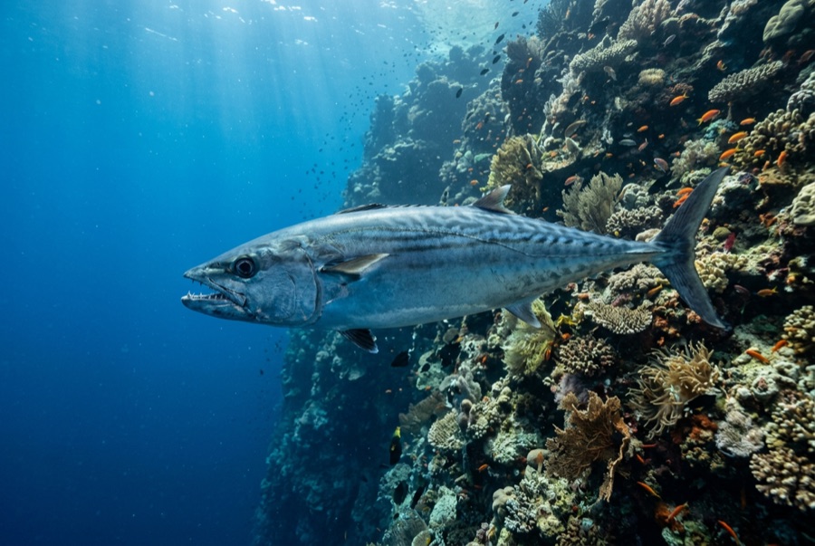
Dogtooth Tuna
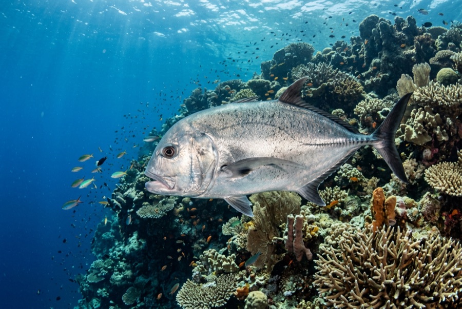
Giant Trevally
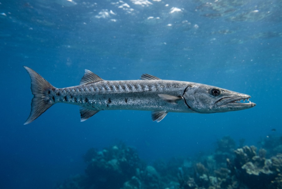
Great Barracuda
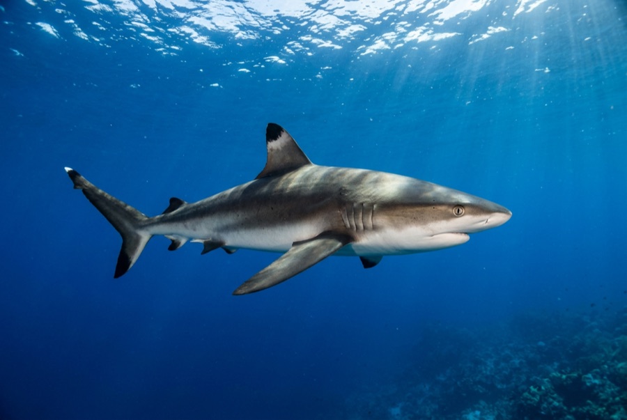
Grey Reef Shark
Voor fotografen
Groothoek: ★★★★★ · Macro: ★☆☆☆☆ — redacteursbeoordeling 1–5 van wat deze locatie biedt voor elke fotostijl