Mary Island
Derinlik, dalış noktasının tepesinden olağan maksimumuna kadar olan aralıktır; "önerilen sertifika" ise operatörlerin genellikle talep ettiği ana akım ajans düzeyidir, yasal bir kural değildir. Akıntı ve görüş her gün değişir, bu nedenle buradaki her şeyi planlama aralığı olarak değerlendirin.
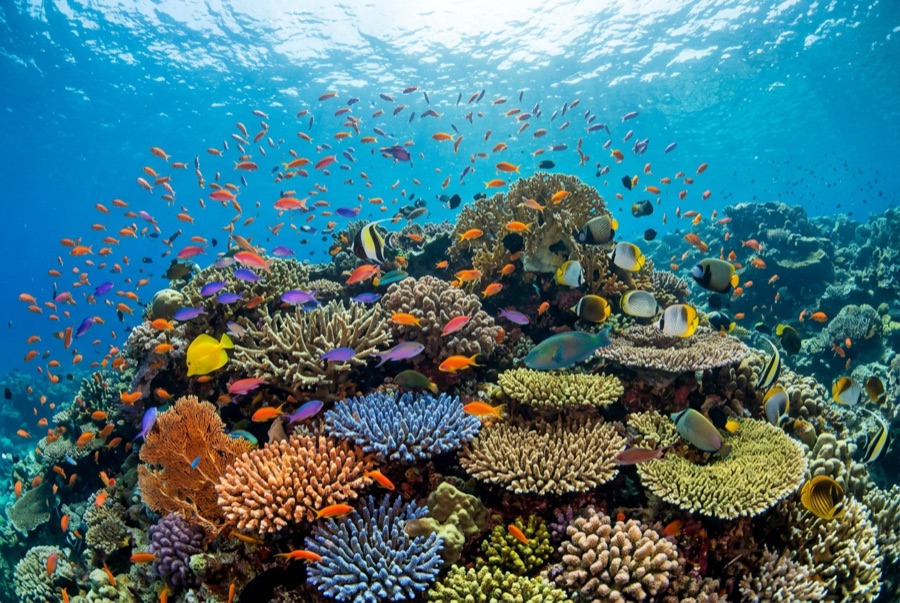
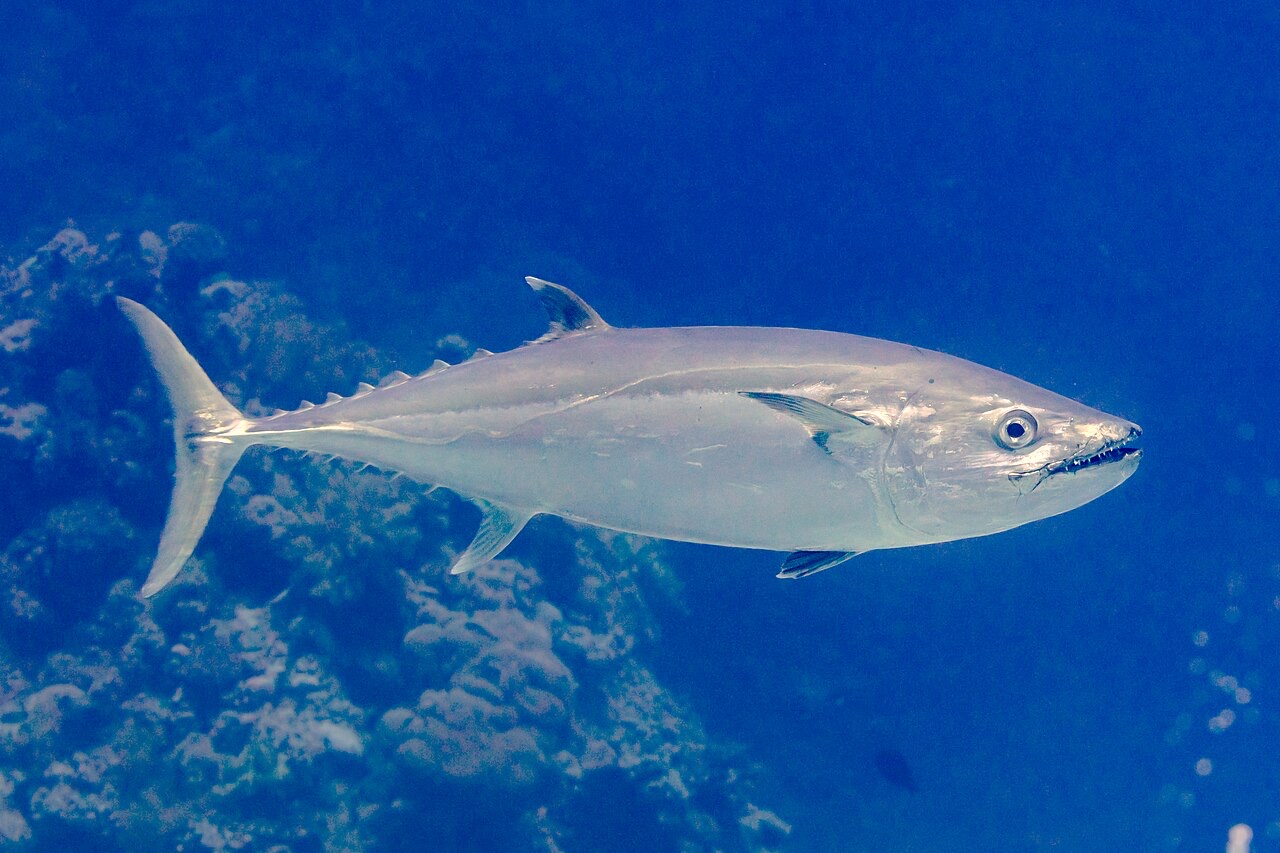
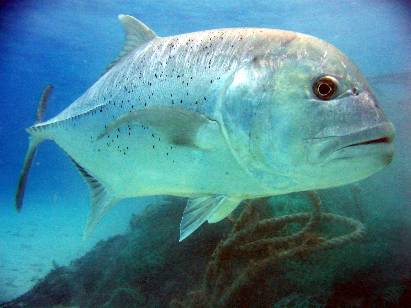
Mary Island, Mborokua on the charts, is an uninhabited volcanic cone in open water, and its points are fish traps in the best sense. Barracuda school here in genuinely huge, rotating columns; bigeye trevally form a second storm below them; and gray reef sharks thread the whole structure while dogtooth tuna make passes from the blue. The reef itself is sturdy rather than delicate, built for the current that feeds it. Dives run as slow drifts along the points, divers tucked against the slope watching traffic. Between the crowds of fish and the absence of any village, the island feels like the Solomons with the volume turned all the way up.
Tam da bunun için geldiğiniz an: Barracuda columns in the thousands; trevally storms; steady gray reef shark traffic on the points.
Topografya: Steep volcanic reef slopes and points dropping into deep, clear open water
Akıntı: The points concentrate flow, and the fish concentrate with it.
Giriş: An uninhabited volcanic island between the Russells and the New Georgia group; liveaboard territory, dived on the points where current runs.
Suya girmeden önce bilinmesi gerekenler
Tehlikeler: Current on the points; open-water exposure and long liveaboard distances from help.
Koruma: An unpopulated island whose reefs stay rich precisely because visits are few: no anchoring on the points, no take of any kind.
Nitrox: Burada değer: profiller, nitrox'un no-stop süresini anlamlı ölçüde uzattığı (ve bunu kullanacak eğitimle birlikte) aralıkta yer alıyor.
Kimlerle karşılaşacaksınız
Dogtooth Tuna
Bumphead Parrotfish
Giant Trevally

Great Barracuda
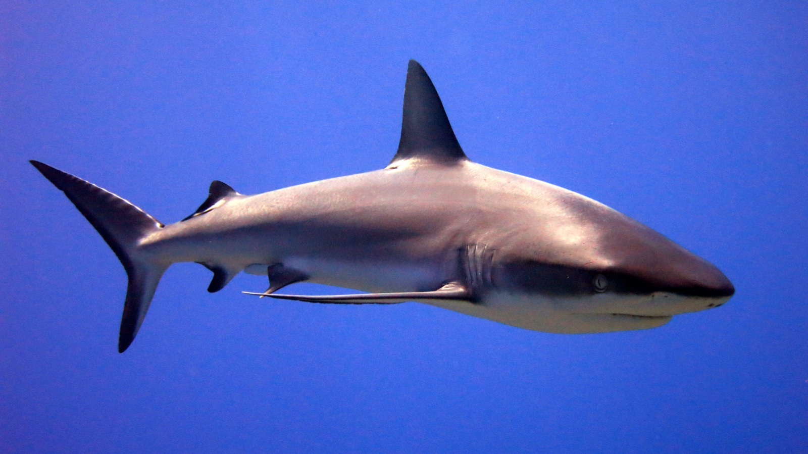
Grey Reef Shark

Nudibranchs

Clownfish & Anemonefish
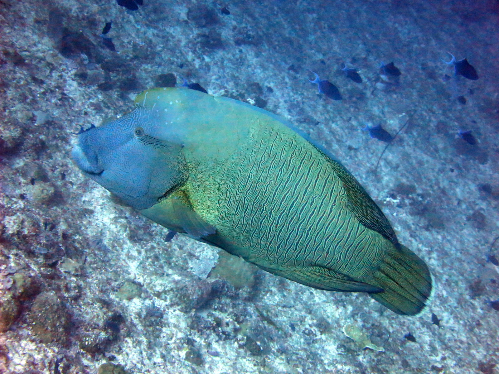
Napoleon (Humphead) Wrasse
Yakınında da kaydedilmiş
"Burada haritalanan" türler, editörlerimiz tarafından bu sayfadaki kaynaklardan listelenmiştir. Sayılar, GBIF kayıt sayılarıdır: 1990'dan itibaren haritalanan konumun yaklaşık 5 km çevresinde kaydedilen ve yalnızca kataloğumuzdaki türlerle eşleştirilen gözlemlerdir. Burada nelerin görüldüğünü gösterirler; neleri göreceğinizin garantisi değildir.
Fotoğrafçılar için
Geniş açı: ★★★★★ · Makro: ★☆☆☆☆ (editörlerin her çekim tarzı için bu noktanın sunduğunu 1–5 üzerinden değerlendirmesi)