
Mary Island
深度范围从潜点顶部至通常最大深度;"建议认证等级"为运营商通常要求的主流机构等级,并非法律规定。水流与能见度每日变化——请将本站所有信息作为规划参考范围。
Mary Island — Mborokua on the charts — is an uninhabited volcanic cone in open water, and its points are fish traps in the best sense. Barracuda school here in genuinely huge, rotating columns; bigeye trevally form a second storm below them; and gray reef sharks thread the whole structure while dogtooth tuna make passes from the blue. The reef itself is sturdy rather than delicate, built for the current that feeds it. Dives run as slow drifts along the points, divers tucked against the slope watching traffic. Between the crowds of fish and the absence of any village, the island feels like the Solomons with the volume turned all the way up.
您此行的高光时刻: Barracuda columns in the thousands; trevally storms; steady gray reef shark traffic on the points.
地形地貌: Steep volcanic reef slopes and points dropping into deep, clear open water
水流: The points concentrate flow, and the fish concentrate with it.
入水方式: An uninhabited volcanic island between the Russells and the New Georgia group; liveaboard territory, dived on the points where current runs.
入水前须知
危险因素: Current on the points; open-water exposure and long liveaboard distances from help.
保育: An unpopulated island whose reefs stay rich precisely because visits are few — no anchoring on the points, no take of any kind.
高氧(Nitrox): 在此值得使用——各潜点深度落在富氧空气(nitrox)能有效延长免减压时间的区间(前提是持有相应认证)。
你会遇见谁
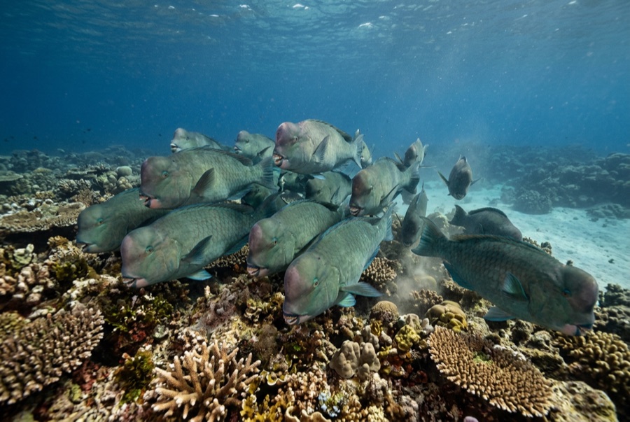
Bumphead Parrotfish
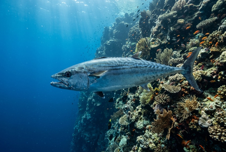
Dogtooth Tuna
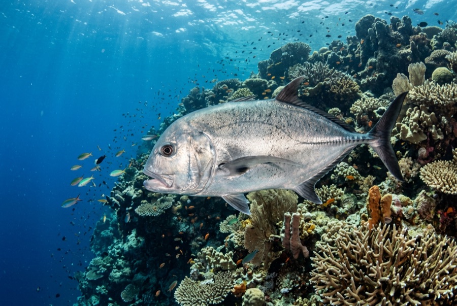
Giant Trevally
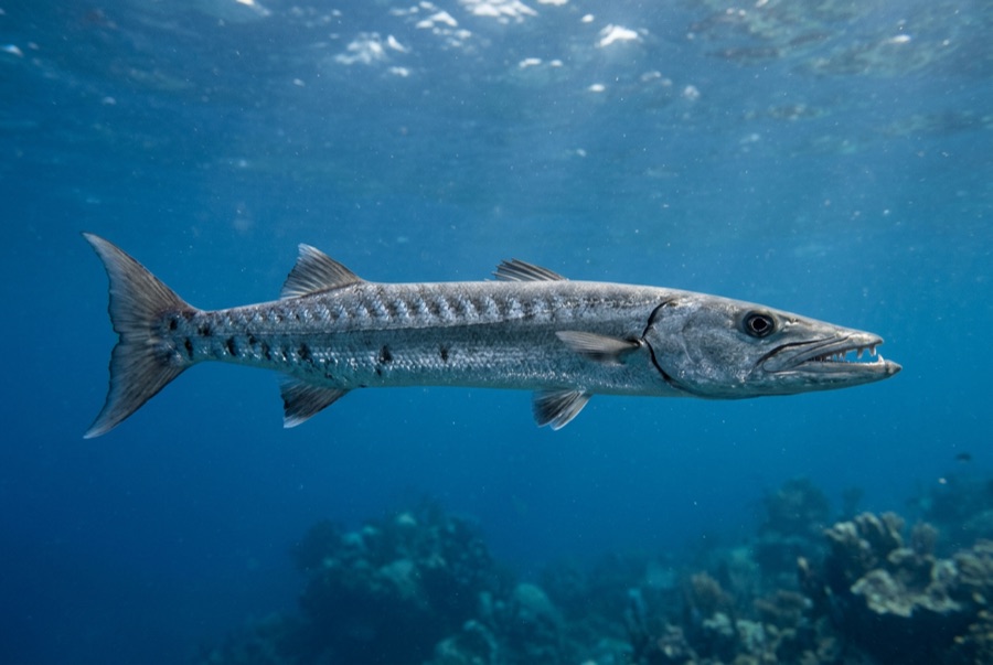
Great Barracuda
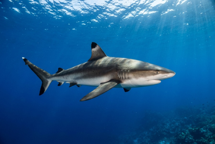
Grey Reef Shark
摄影师专区
广角: ★★★★★ · 微距: ★☆☆☆☆ — 编辑对该潜点适合各类水下摄影风格的1–5分评级