Puntos de buceo, temporadas y vida marina — investigados, cartografiados, planificados.
Menú
Destinos Puntos de buceo Vida marina Pecios Noticias
Planifica un viaje Planificador de viajes Cuándo bucear Calculadora de costes Comparativas Calendario de fauna marina Temperatura del agua Liveaboards Operadores y resorts Parques marinos Cámaras hiperbáricas Mapa mundial
Regiones Australia, Nueva Zelanda y Asia OrientalCaribe y Atlántico occidentalEuropa, Atlántico y MediterráneoOcéano Índico y África OrientalIslas del Pacífico y MicronesiaMar Rojo y Oriente MedioSudeste Asiático y el Triángulo del CoralLas Américas y el Pacífico Oriental Países
Aprender y herramientas Todas las guías Certificaciones Guías de equipo Vídeos Consulta los datos Agentes de IA API
Acerca de Quiénes somos Metodología Aviso legal Contacto
Tu vista
★ Guardado

Tus destinos, sitios y especies favoritos — guardados en este navegador.

API GATEWAY

Acceso JSON gratuito de solo lectura a los datos en caché del atlas.

Modo oscuro

🧭 Vista guiada
¿Nuevo en el buceo? ¿Profundidades, corrientes, niveles de certificación? Explicamos cada término mientras navegas, en un lenguaje claro. Los mismos datos, con la ayuda integrada.

⚡ Vista experta
Ya conoces la diferencia entre una pared y un drift dive. Solo los datos — claros, rápidos y concisos. Esta es la vista predeterminada.

Idioma de la interfaz
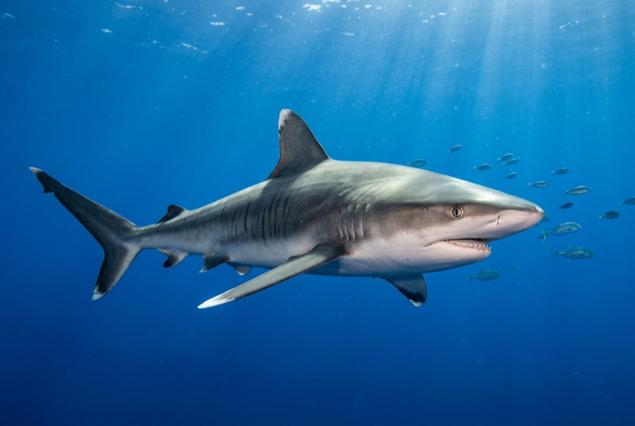
Tiger Beach — illustrative image

Tiger Beach

Reef · Shore 5–12 m Intermediate Tiger Beach & Grand Bahama, The Bahamas
Ilustración generada por IA
Bien documentado
Profundidad
5–12 m / 16–39 ft
Profundidad típica
7 m / 23 ft
Visibilidad
15–30 m / 49–98 ft
Agua
24–29 °C / 75–84 °F
Corriente
Mild
Acceso
Boat
Mejores meses
Oct–Apr
Certificación recomendada
Open Water plus a shark-dive briefing
Inmersión típica
~70 min

La profundidad indica el rango desde la parte superior del punto hasta su máximo habitual; la "certificación recomendada" es el nivel que los operadores suelen exigir según las principales agencias, no una norma legal. Las corrientes y la visibilidad cambian a diario — considera todo esto como rangos de planificación.

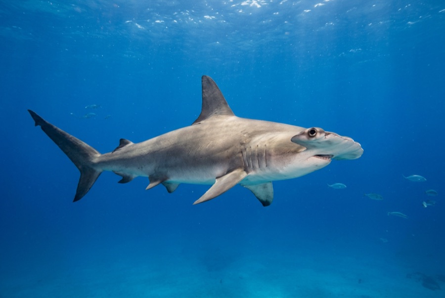
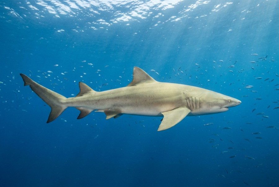
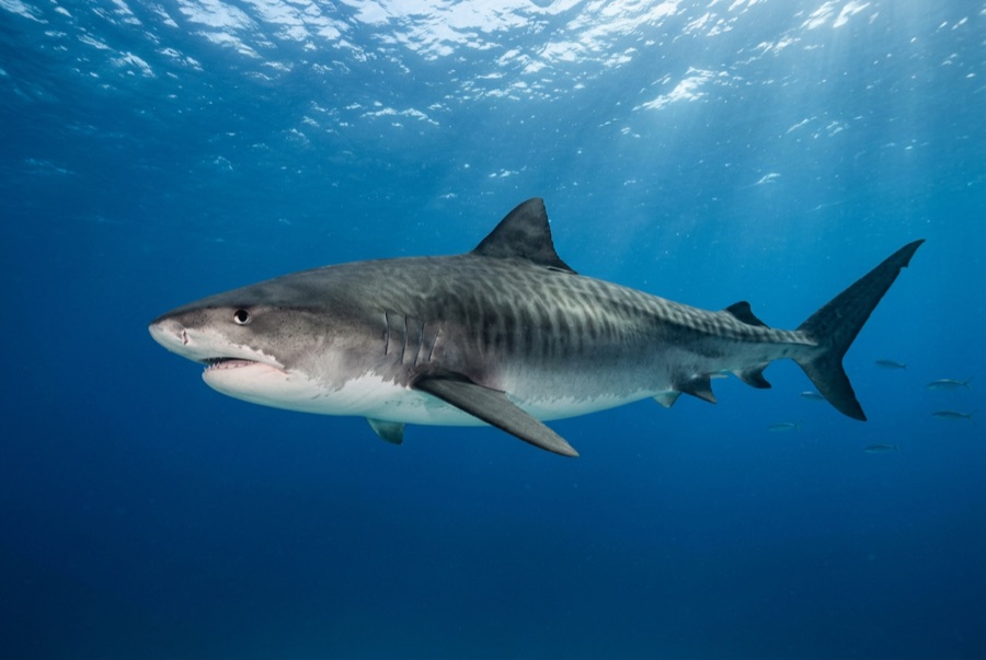
The name describes it exactly: a shallow pale sandbank where tiger sharks come to you. Divers settle in a line on the bottom in six or seven meters of water while crates of bait scent the current, and within minutes the first broad, striped shape materializes out of the haze. Lemon sharks pile up by the dozen, snuffling at the sand, and tigers of three and four meters make slow, confident passes close enough to count the gill slits. There is no reef to speak of and no need for one; the theater is the point, and bottom times often stretch past an hour in the warm shallows.

El momento por el que vienes: Multiple tiger sharks at touching distance, lemon shark packs, hour-plus shallow bottom times

Topografía: Flat white sand with scattered seagrass and small patch reefs

Corriente: Tidal flow across the bank is usually gentle but can pick up.

Entrada: Reached by day boat from West End or by Florida-based liveaboards anchoring over the bank.

Lo que debes saber antes de tirarte al agua

Riesgos: Baited encounter with large predatory sharks; follow crew protocols exactly, wear dark gloves and hood, keep hands close, and never linger on the surface.

Conservación: The Bahamas has been a legally designated shark sanctuary since 2011; commercial shark fishing is banned throughout its waters.

A quién encontrarás
Para fotógrafos

Gran angular: ★★★★★ · Macro: ★☆☆☆☆ — valoración de 1 a 5 de los editores sobre lo que ofrece este sitio para cada estilo de fotografía

Australia, Nueva Zelanda y Asia Oriental

Cairns & the Ribbon ReefsNingaloo ReefCoral Sea & Osprey ReefOkinawa & the Kerama IslandsPoor Knights IslandsTownsville & the YongalaGreen IslandIzu Peninsula

Caribe y Atlántico occidental

BonaireCozumelRiviera Maya & the CenotesBelize Barrier ReefGrand CaymanIsla Mujeres & CancúnRoatánTiger Beach & Grand Bahama

Europa, Atlántico y Mediterráneo

Malta & GozoSilfra & IcelandThe AzoresCanary IslandsLarnaca & the ZenobiaScapa FlowArctic NorwayMadeira

Océano Índico y África Oriental

North & South Malé AtollsAri AtollBaa Atoll & Hanifaru BayAliwal Shoal & UmkomaasMafia IslandMauritiusSeychellesSodwana Bay

Islas del Pacífico y Micronesia

PalauChuuk (Truk) LagoonFakaravaKona, HawaiʻiRangiroaTaveuni & Rainbow ReefBeqa Lagoon & Pacific HarbourEspiritu Santo

Mar Rojo y Oriente Medio

Sharm El Sheikh & Ras MohammedBrothers, Daedalus & St John'sDahabHurghada & El GounaMarsa Alam & the Deep SouthAqabaDaymaniyat IslandsMusandam Peninsula

Sudeste Asiático y el Triángulo del Coral

Bali & Nusa PenidaKomodoRaja AmpatSipadan & MabulAnilaoCoronKoh TaoLembeh Strait

Las Américas y el Pacífico Oriental

Galápagos IslandsCocos IslandFlorida KeysSea of Cortez & Cabo PulmoSocorro & the RevillagigedosBritish ColumbiaCalifornia Channel IslandsCosta Rica Pacific Coast