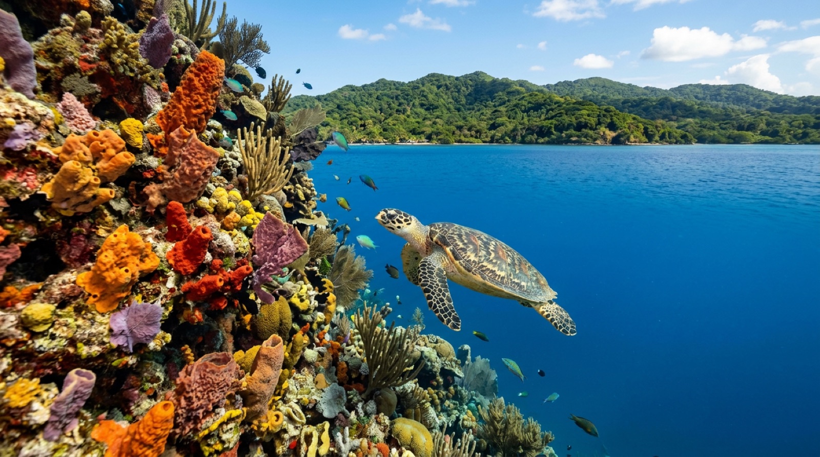
A mergulhar em Honduras
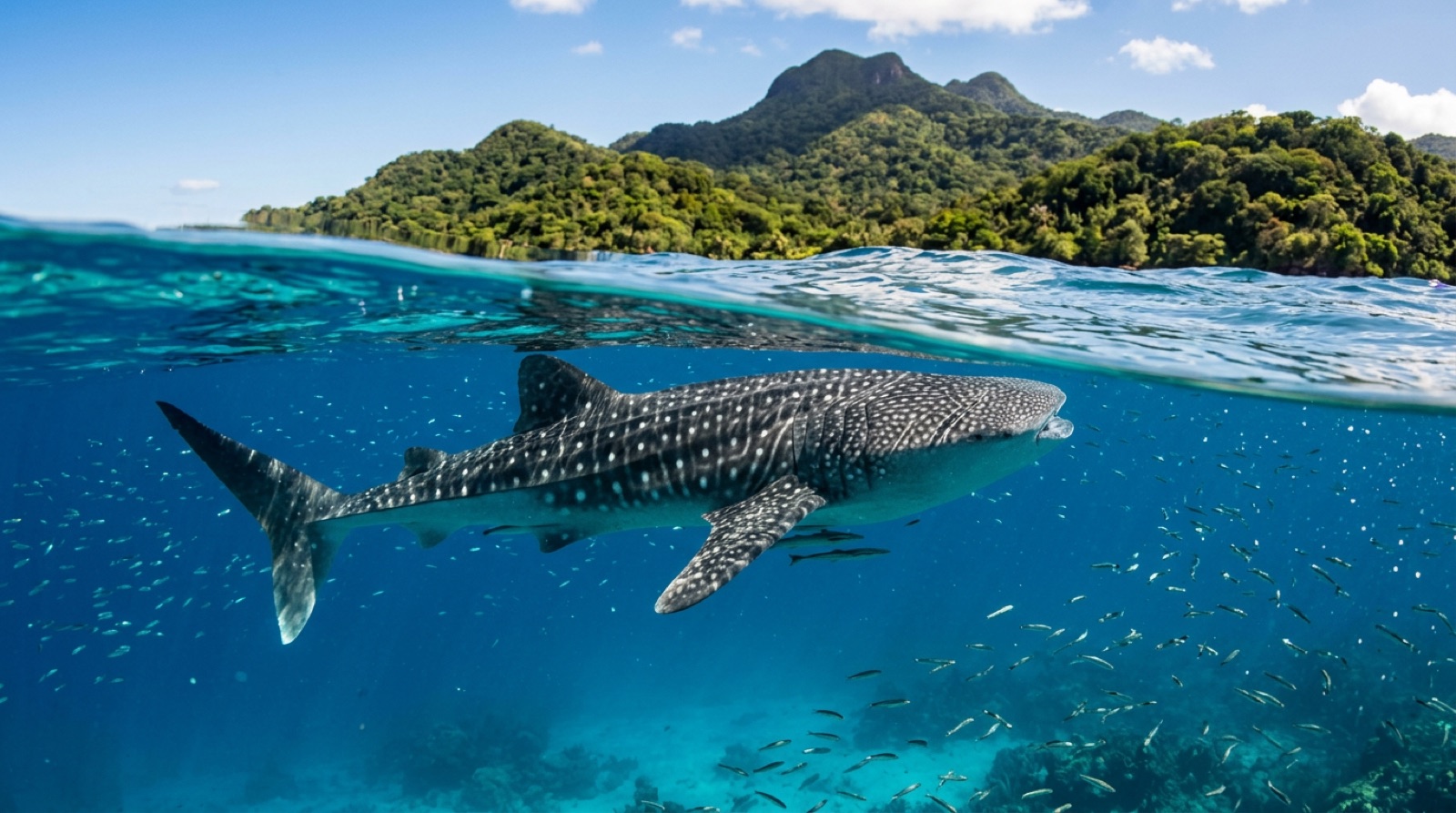
Honduras owns the southern end of the Mesoamerican Reef through the Bay Islands, and two of them split the diving world between them. Roatán is the polished one: forested ridge, resort infrastructure, and a fringing reef cut with canyons, swim-throughs, and walls that start a fin-kick from shore. Utila is the scrappy one, a backpacker island that has certified generations of divers at some of the lowest course prices on earth, with whale sharks cruising its north side often enough to be a calling card. Both islands share warm, clear, current-light water and reef systems healthier than their traffic would suggest. The mainland barely figures in a dive itinerary. For value-per-certification and easygoing Caribbean wall diving, the Bay Islands remain one of the sport's great entry points.
Roatán offers the full wraparound reef: West End and West Bay walls, the Mary's Place crevice dive, wrecks like El Aguila and the Odyssey, and quieter east-end sites. Utila counters with north-side walls, seamounts, and blue water where whale sharks intercept bait balls, plus the sheltered south-side training grounds that power its dive-school economy.
Experiências de eleição: Whale shark encounters off Utila's north side; threading the volcanic crack of Mary's Place on Roatán; the El Aguila wreck and its resident groupers; night dives on West End walls with octopus and reef squid; earning an entire professional dive ladder, from Open Water to instructor, on Utila for less than a resort week elsewhere.
Épocas: Diving runs year-round; spring through early autumn tends to be calmest, and Utila's whale-shark sightings, though possible any month, are historically likeliest around March-April and August-September. October through January brings more wind, rain, and the occasional cold front, and hurricane season peaks in early autumn.
Os destinos
Sites de mergulho de destaque
| Local | Destino | Tipo | Profundidade | Nível |
|---|---|---|---|---|
| Blue Channel | Roatán | Channel | 5–15 m | Beginner |
| Cara a Cara | Roatán | Reef | 18–21 m | Advanced |
| El Aguila | Roatán | Wreck | 20–33 m | Advanced |
| Mary's Place | Roatán | Wall | 8–30 m | Intermediate |
| Odyssey | Roatán | Wreck | 18–34 m | Advanced |
| West End Wall | Roatán | Wall | 10–35 m | Intermediate |
| Black Hills | Utila | Seamount | 12–40 m | Intermediate |
| CJ's Drop Off | Utila | Wall | 5–40 m | Intermediate |
| Duppy Waters | Utila | Wall | 8–35 m | Intermediate |
| Halliburton | Utila | Wreck | 18–30 m | Advanced |
Todos os pontos mapeados em Honduras →
Vida marinha
Naufrágios
O arquivo prático
Como chegar: Roatán (RTB) receives direct flights from US hubs, some seasonal, plus connections through San Pedro Sula (SAP). Utila is reached by ferry from La Ceiba, a short domestic flight, or the inter-island hop from Roatán. Most travelers avoid overland mainland transit beyond the airports.
Entrada & vistos: Honduras sits inside the Central America-4 border agreement, and many nationalities, including US, Canadian, UK, and EU citizens, typically enter visa-free for short stays. Verify current requirements before travel.
Quanto custa mergulhar: Utila fun dives run roughly USD 35-55 and Open Water courses about USD 300-380, among the cheapest anywhere; Roatán two-tank boat trips typically cost USD 80-110, with resort packages above that.
Idioma: Spanish is the national language, but English is widely spoken on the Bay Islands, where it is the first language of many islanders.
Gorjeta: Tipping around 10 percent is customary in restaurants; dive staff, especially instructors and boat crews, rely on tips and appreciate an end-of-course or end-of-week gesture.
Segurança em viagem: The Bay Islands run on tourism and feel far removed from the mainland's security problems, though petty theft and occasional robberies do occur, so use normal island caution at night. Mainland cities carry serious crime levels; most divers transit airports only. Moto-scooter accidents and dehydration injure more visitors than anything underwater does.
Cobertura de recompressão: Both main islands have long-standing hyperbaric facilities, on Roatán near Anthony's Key and on Utila supported by a per-dive insurance fee. Availability changes; emergencies route through your shop's oxygen protocol, local clinics, and DAN.