Sharm El Sheikh & Ras Mohammed
Sharm El Sheikh anchors the northern Red Sea at the tip of Sinai, where Ras Mohammed National Park and the Strait of Tiran compress big walls, dense fish life, and two celebrated wrecks into a single day-boat radius. Purpose-built resorts line Naama Bay and Sharks Bay, dive operations run at industrial scale, and flying time from Europe is short. It remains one of the easiest places on earth to log world-class dives inexpensively.
Por qué bucear aquí
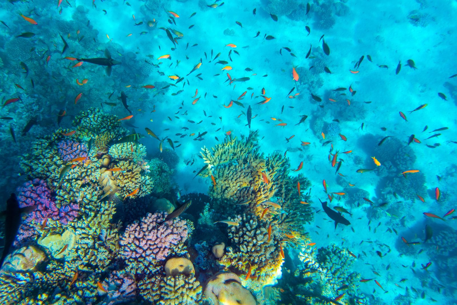
Two bodies of water meet at the tip of Sinai, and everything that makes Sharm famous follows from that collision. At Shark and Yolanda Reefs, the signature dive of Ras Mohammed, snapper, batfish, and barracuda stack into midsummer walls of fish over a drop that falls away for hundreds of meters. An hour north, the four reefs of the Strait of Tiran (Jackson, Woodhouse, Thomas, and Gordon) sit in the tide like teeth in a jaw, wrapped in gorgonians and patrolled by reef sharks. The SS Thistlegorm, a Second World War freighter still loaded with trucks, motorcycles, and locomotives, is a long day trip west into the Strait of Gubal and arguably the finest wreck dive in the sea. Add the inverted Victorian steamer Dunraven, night dives on the local reefs, and a season that never truly closes, and the appeal is plain: density. Few destinations put this much within an hour of the jetty.
Mes a mes
Diveable all twelve months. Water bottoms out near 21-23 C in late winter and peaks around 27-29 C in August; the sweet spots are April-June and September-November.
| Mes | Agua | Visibilidad | Cómo es |
|---|---|---|---|
| January●●●○○ | 22–24 °C / 72–75 °F | 15–30 m | Cool water and quiet boats; bring a 5 mm suit. |
| February●●●○○ | 21–23 °C / 70–73 °F | 15–30 m | Coldest water of the year; crisp desert light. |
| March●●●●○ | 21–24 °C / 70–75 °F | 15–30 m | Water starts warming; spring season opens. |
| April●●●●● | 22–25 °C / 72–77 °F | 20–30 m | Classic conditions at Tiran and Ras Mohammed. |
| May●●●●● | 24–26 °C / 75–79 °F | 20–30 m | Prime month: warm water before the summer crowds. |
| June●●●●● | 25–27 °C / 77–81 °F | 20–30 m | Snapper begin massing at Ras Mohammed; hot ashore. |
| July●●●●○ | 26–28 °C / 79–82 °F | 15–30 m | Spawning aggregations peak; intense topside heat. |
| August●●●●○ | 27–29 °C / 81–84 °F | 15–30 m | Warmest water; afternoon wind can chop the strait. |
| September●●●●● | 27–29 °C / 81–84 °F | 20–30 m | Warm sea and thinner crowds: a superb balance. |
| October●●●●● | 26–28 °C / 79–82 °F | 20–30 m | Many regulars' favorite month. |
| November●●●●○ | 24–26 °C / 75–79 °F | 15–30 m | Cooling but comfortable; good value. |
| December●●●○○ | 23–25 °C / 73–77 °F | 15–30 m | Holiday crowds ashore; wind more frequent at sea. |
Confianza en los datos mensuales: Well documented. Los meses sin fila no tienen datos verificados. Preferimos mostrar una laguna antes que inventarla.
Los puntos de buceo (7)
| Sitio | Tipo | Profundidad | Nivel | Acceso | |
|---|---|---|---|---|---|
| Gordon Reef The Loullia standing on the reef; garden-eel plains; easy plateau diving… | Reef | 3–24 m | Beginner | Boat | |
| Jackson Reef Summer hammerhead drops off the north point; gorgonian-covered walls; the… | Reef | 3–40 m | Intermediate | Boat | |
| Ras Um Sid The gorgonian forest; glassfish-filled overhangs; convenient depth options… | Reef | 5–30 m | Beginner | Boat | |
| SS Dunraven Swim-through hull sections full of glassfish; propeller and rudder on the… | Wreck | 15–29 m | Intermediate | Boat | |
| SS Thistlegorm Motorcycles still on truck beds in hold two; the anti-aircraft gun at the… | Wreck | 16–32 m | Intermediate | Boat | |
| Shark & Yolanda Reefs Summer snapper and batfish walls; Shark Reef's sheer drop; Yolanda's… | Reef | 5–30 m | Intermediate | Boat | |
| Thomas Reef Soft-coral terraces at their densest; the deep canyon and arches for… | Reef | 5–40 m | Advanced | Boat |
Vida marina con la que puedes planificar
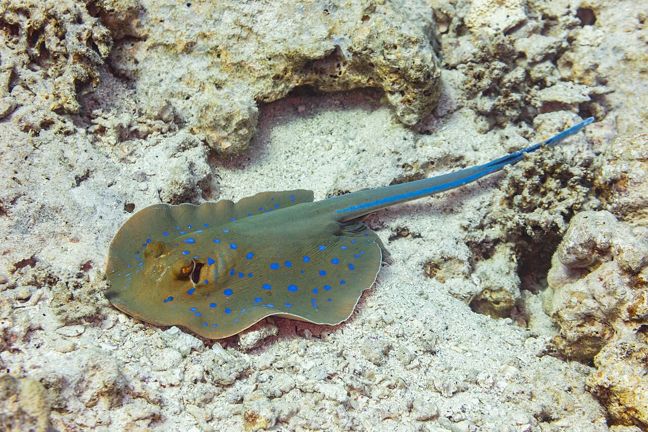
Blue-Spotted Ribbontail Ray
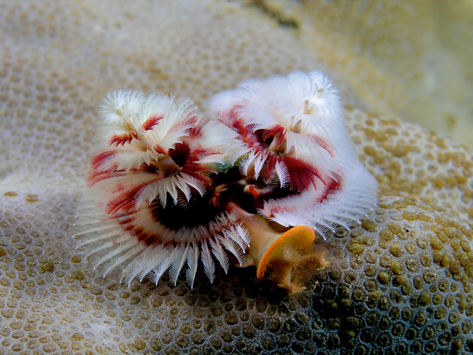
Christmas Tree Worm

Clownfish & Anemonefish
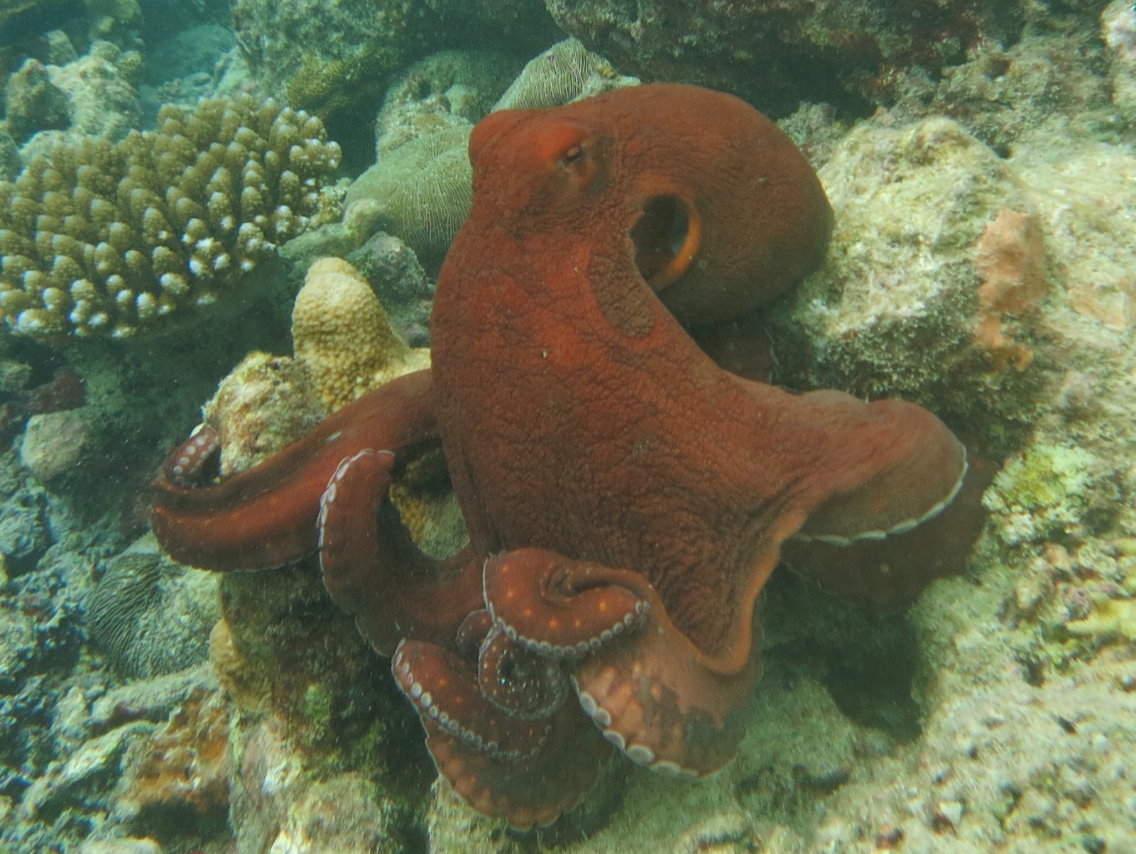
Common Reef (Day) Octopus
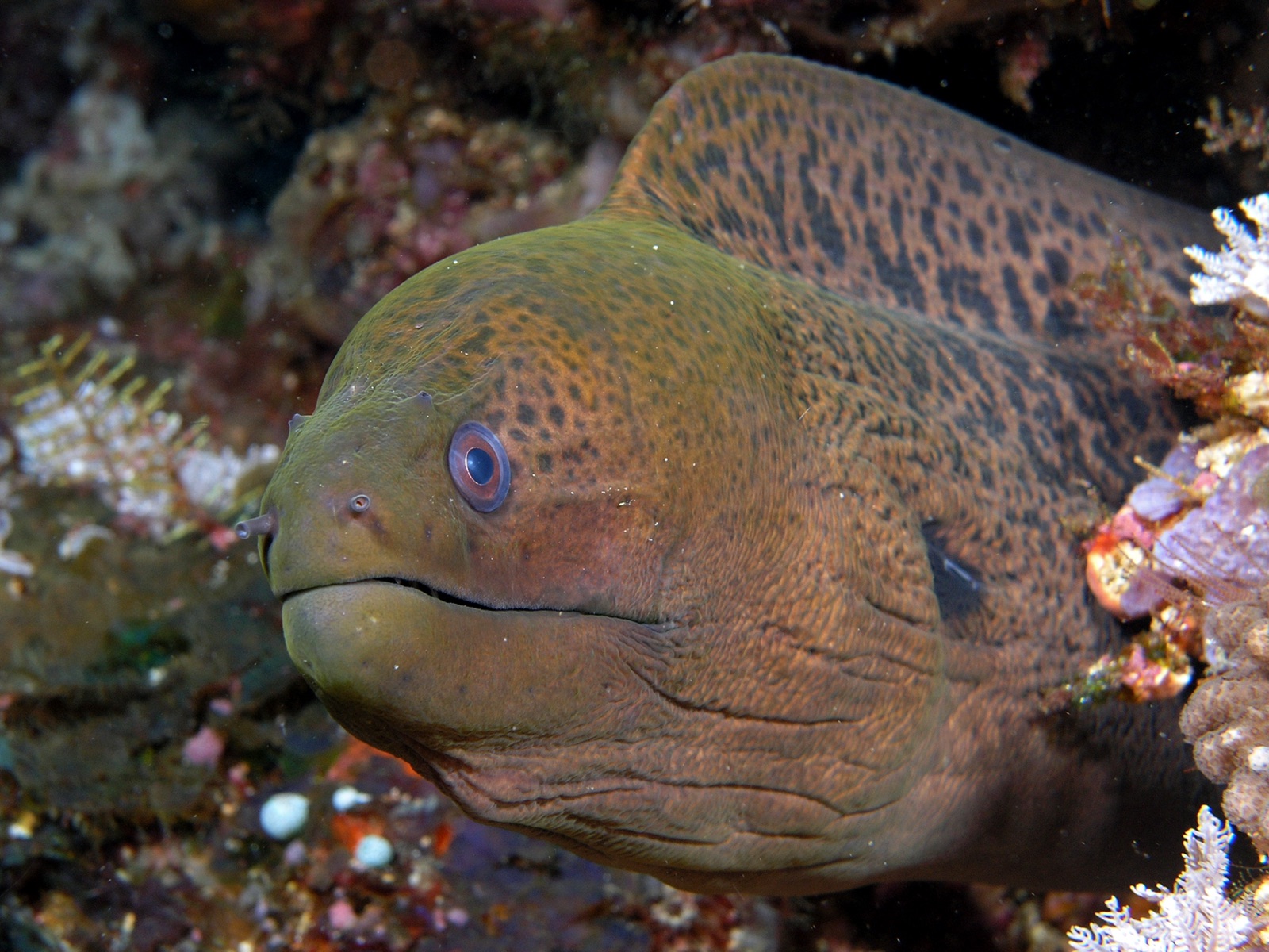
Giant Moray Eel
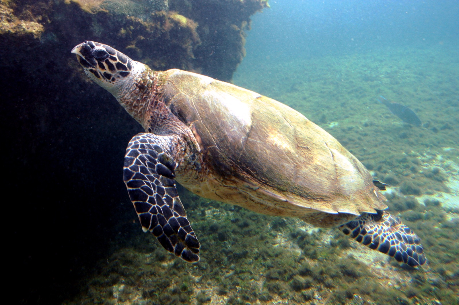
Hawksbill Turtle

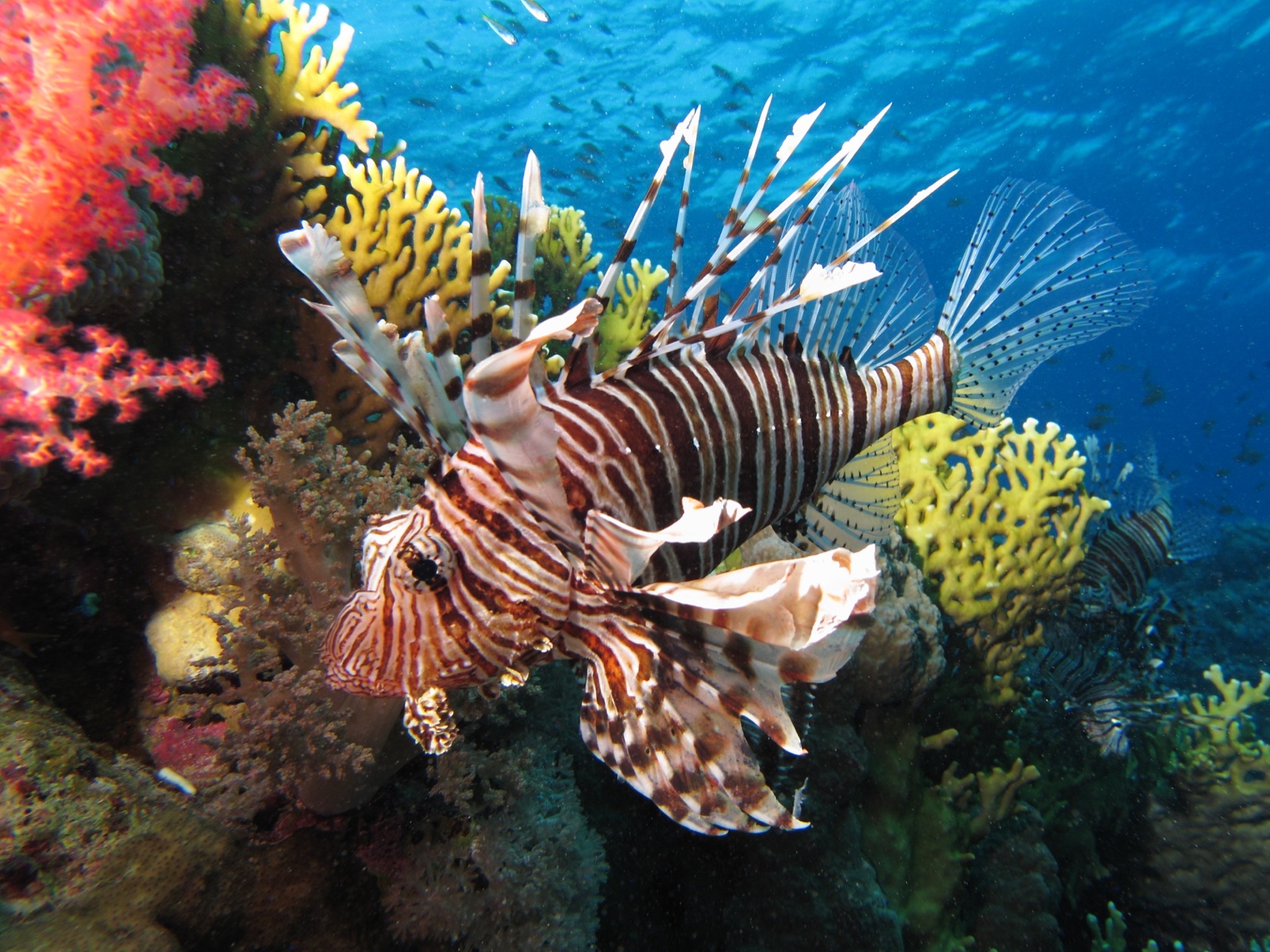
Lionfish
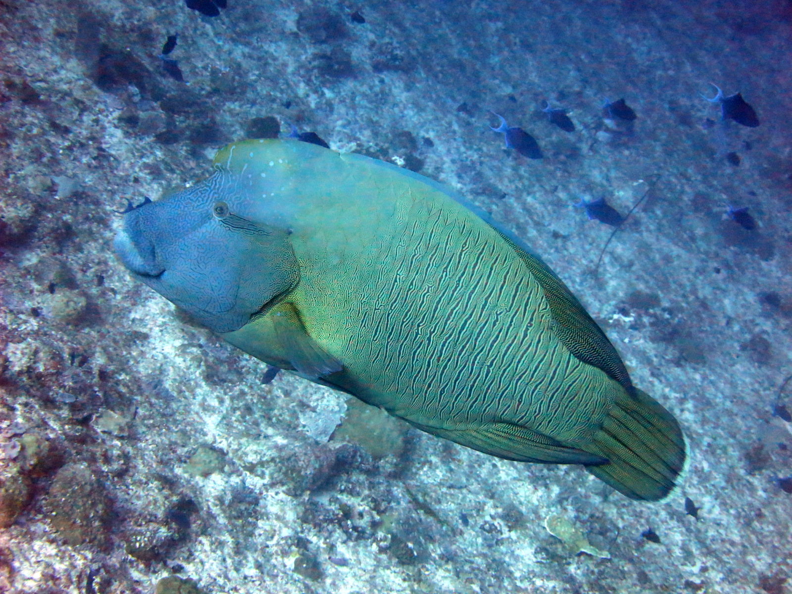
Napoleon (Humphead) Wrasse
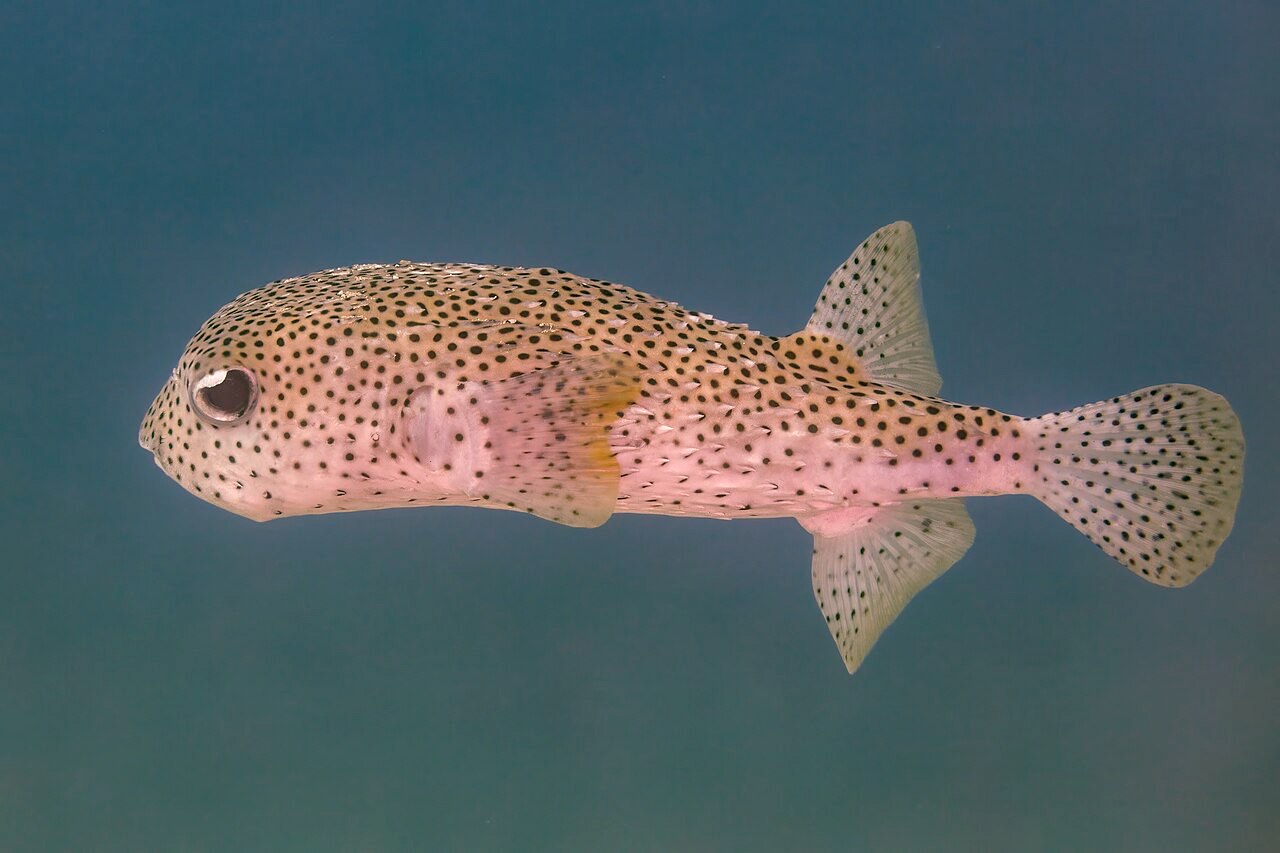
Porcupinefish
Anthias-covered walls, schooling snapper and batfish in summer, Napoleon wrasse at Ras Mohammed, reef sharks and turtles at Tiran, and the occasional pelagic surprise in the blue.
Pecios aquí
SS Dunraven
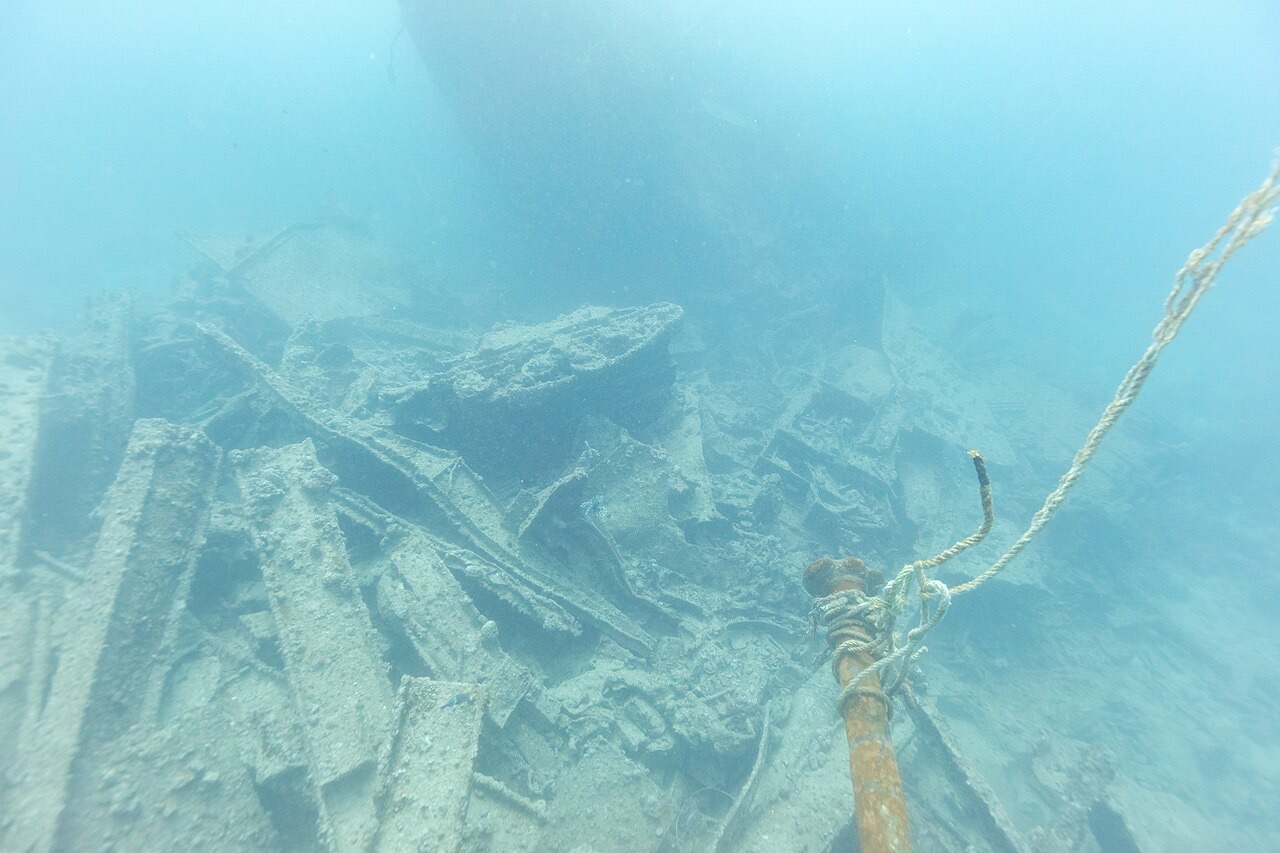
SS Thistlegorm
Cómo llegar y dónde alojarse
Cómo llegar: Direct European charter and scheduled flights land at Sharm El Sheikh International, or connect through Cairo. Transfers to Naama Bay and Sharks Bay run 10-25 minutes.
Dónde alojarse: Naama Bay is the classic dive-resort strip; Sharks Bay and Ras Um Sid suit quieter stays; the Old Market keeps some local texture. Most divers book hotel-plus-diving packages.
Liveaboards: Northern-route liveaboards from Sharm and Hurghada cover Ras Mohammed, Tiran, the Thistlegorm, and Abu Nuhas, and beat the day boats to the wrecks.
Costes: Among the cheapest world-class diving anywhere; euro pricing is common and multi-day packages drop the per-dive rate further. Ras Mohammed and Tiran carry marine-park fees.
Entre inmersiones: Day trips reach St Catherine's Monastery and Mount Sinai, desert excursions go out by jeep or camel, and resort jetties offer easy snorkeling. Nightlife clusters in Naama Bay.
Seguridad y aspectos prácticos
Riesgos: Currents in the Strait of Tiran and off Ras Mohammed can be strong and change mid-dive; heavy boat traffic demands surface-marker discipline; summer topside heat is serious.
Use a surface marker on every drift, watch no-deco time on the deep walls, and stay out of wreck interiors without proper training. South Sinai's resort zone is generally considered stable, but check your government's current travel advice.
Cámara de recompresión más cercana: Hyperbaric chambers operate in Sharm El Sheikh; availability changes - route any emergency through local EMS and DAN.