Dive sites, seasons and marine life — researched, mapped, planned.
Menu
Destinations Dive Sites Marine Life Wrecks News
Plan a trip Trip planner When to dive Cost calculator Comparisons Marine-life calendar Water temperature Liveaboards Operators & resorts Marine parks Hyperbaric chambers World map
Regions Australia, New Zealand & East AsiaCaribbean & Western AtlanticEurope, Atlantic & MediterraneanIndian Ocean & East AfricaPacific Islands & MicronesiaRed Sea & Middle EastSoutheast Asia & Coral TriangleThe Americas & Eastern Pacific Countries
Learn & Tools All guides Certifications Gear guides Videos Ask the Data AI Agents API
About About us Methodology Disclaimer Contact
Your view
★ Saved

Your starred destinations, sites and species — stored in this browser.

API GATEWAY

Free read-only JSON access to the atlas's cached data.

Dark mode

🧭 Guided View
New to diving — depths, currents, certification levels? We explain every term as you browse, in plain English. Same data, with the help built in.

⚡ Expert View
You already know the difference between a wall and a drift. Just the data — clean, fast and compact. This is the default view.

Interface language
Bajo Veinte — illustrative image

Bajo Veinte

Pinnacle 12–30 m Intermediate Coiba, Panama
AI-generated illustration
Editorial estimate
Depth
12–30 m / 39–98 ft
Typical depth
20 m / 66 ft
Visibility
8–20 m / 26–66 ft
Water
21–29 °C / 70–84 °F
Current
Moderate
Access
Boat
Recommended cert
Advanced Open Water recommended

Depth is the range from the top of the site to its usual maximum; "recommended cert" is the mainstream-agency level operators usually ask for, not a legal rule. Currents and visibility change daily — treat everything here as planning ranges.

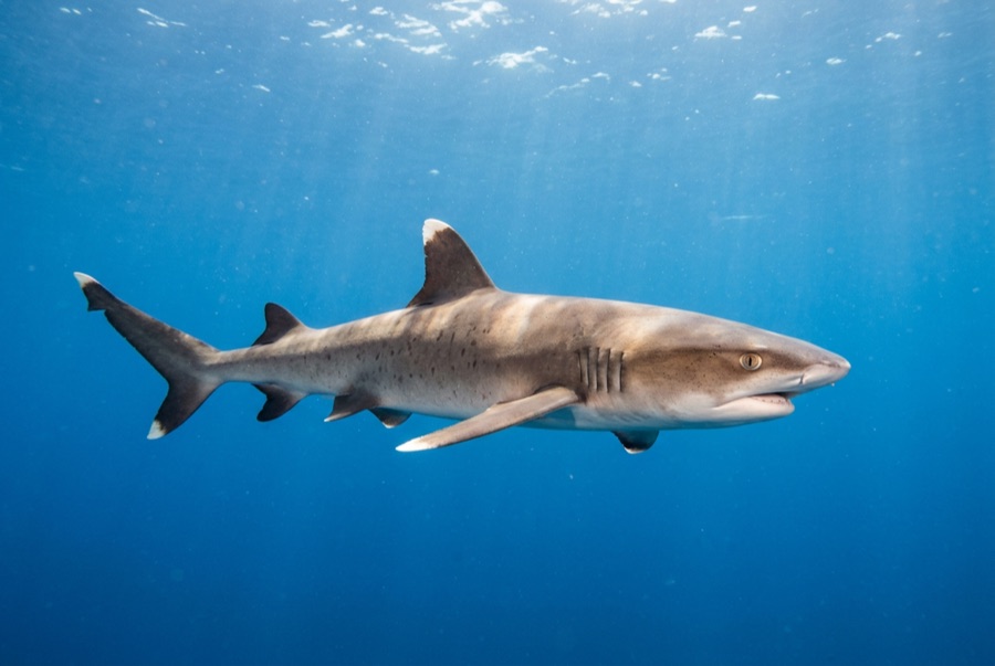
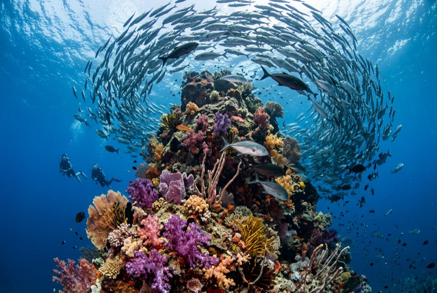
Bajo Veinte - the name nods to its depth in the old fathom habit - is a submerged rock bank near the park's eastern islets that acts as Coiba's mid-depth fish magnet. Bigeye jacks and burrito grunts ball over the crown in thousands, parting for eagle rays and the whitetips that patrol every gully. Cool-season thermoclines bring the wildcard visitors: mobulas, the odd hammerhead rising from deeper water, and enough grouper and snapper bulk to remind you what protection does. The profile suits most divers - drop on the crown, spiral down the flanks, finish in the fish cloud. On plankton-green days the bank hums anyway; the biomass does not care about visibility.

The moment you come for: Baitball crowns, whitetips in the gullies, cool-season pelagic wildcards

Topography: Rocky bank rising to around 12 m, boulder slopes into sand

Know before you splash

Hazards: Current over the crown; visibility swings with plankton.

Who you'll meet
For photographers

Wide angle: ★★★★☆ · Macro: ★★☆☆☆ — editors' 1–5 rating of what this site gives each style of shooting

Australia, New Zealand & East Asia

Cairns & the Ribbon ReefsNingaloo ReefCoral Sea & Osprey ReefOkinawa & the Kerama IslandsPoor Knights IslandsTownsville & the YongalaGreen IslandIzu Peninsula

Caribbean & Western Atlantic

BonaireCozumelRiviera Maya & the CenotesBelize Barrier ReefGrand CaymanIsla Mujeres & CancúnRoatánTiger Beach & Grand Bahama

Europe, Atlantic & Mediterranean

Malta & GozoSilfra & IcelandThe AzoresCanary IslandsLarnaca & the ZenobiaScapa FlowArctic NorwayMadeira

Indian Ocean & East Africa

North & South Malé AtollsAri AtollBaa Atoll & Hanifaru BayAliwal Shoal & UmkomaasMafia IslandMauritiusSeychellesSodwana Bay

Pacific Islands & Micronesia

PalauChuuk (Truk) LagoonFakaravaKona, HawaiʻiRangiroaTaveuni & Rainbow ReefBeqa Lagoon & Pacific HarbourEspiritu Santo

Red Sea & Middle East

Sharm El Sheikh & Ras MohammedBrothers, Daedalus & St John'sDahabHurghada & El GounaMarsa Alam & the Deep SouthAqabaDaymaniyat IslandsMusandam Peninsula

Southeast Asia & Coral Triangle

Bali & Nusa PenidaKomodoRaja AmpatSipadan & MabulAnilaoCoronKoh TaoLembeh Strait

The Americas & Eastern Pacific

Galápagos IslandsCocos IslandFlorida KeysSea of Cortez & Cabo PulmoSocorro & the RevillagigedosBritish ColumbiaCalifornia Channel IslandsCosta Rica Pacific Coast