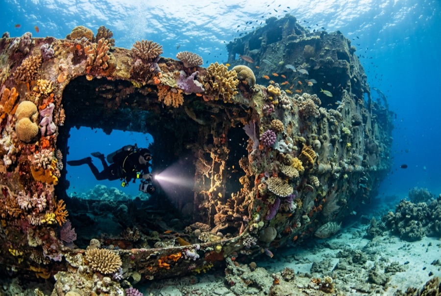
Doña Marilyn
Die Tiefe gibt den Bereich von der Oberkante des Tauchplatzes bis zur üblichen Maximaltiefe an; „empfohlene Zertifizierung" ist das von Anbietern üblicherweise geforderte Mainstream-Agenturniveau – keine gesetzliche Vorschrift. Strömungen und Sichtweite ändern sich täglich – behandle alle Angaben hier als Planungsbereiche.
The Doña Marilyn was an inter-island passenger ferry lost in Typhoon Unsang in October 1988, a disaster that killed a large number of the people aboard; accounts of the toll vary into the hundreds. The roughly 90 m hull now lies on its starboard side on sand at about 33 m, thickly furred in black coral and soft growth, sheltering scorpionfish, sweetlips, and clouds of baitfish, with rays sometimes resting in its lee. Dive it as what it is, a grave as well as a reef: no souvenirs, restrained penetration for the trained only, and quiet respect for the door frames people once walked through.
Der Moment, für den du kommst: A large, coral-carpeted ferry hull, rich fish life, sobering history handled respectfully
Topografie: Hull lying on its starboard side on sand at about 33 m
Strömung: Exposed position; current across the hull is common and dives are planned around it.
Einstieg: Roughly an hour's boat ride from Malapascua in open water; dived when seas allow.
Was du wissen solltest, bevor du ins Wasser gehst
Gefahren: Depth, nets and snagged lines in places, silt inside, and open-sea current; penetration only with wreck training.
Naturschutz: Treat as a maritime grave: take nothing, disturb nothing, and keep contact off the hull's growth.
Nitrox: Hier lohnt es sich – die Profile liegen in einem Bereich, in dem Nitrox die Nullzeiten spürbar verlängert (mit der entsprechenden Ausbildung).
Wen du triffst
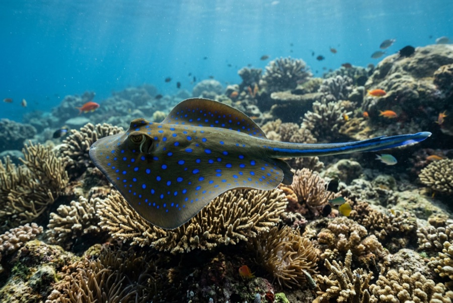
Blue-Spotted Ribbontail Ray
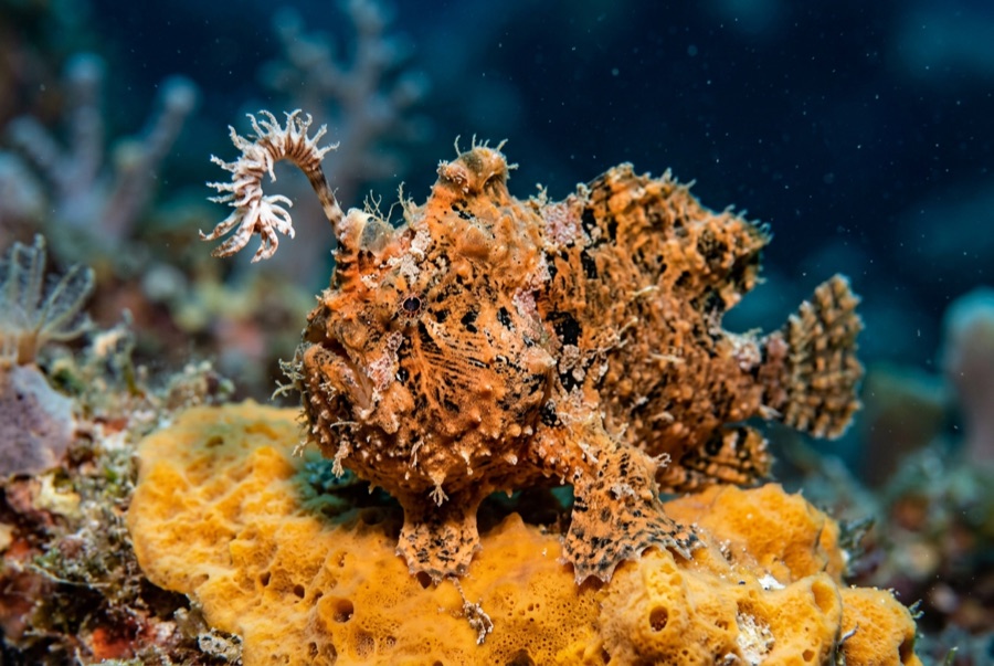
Frogfish
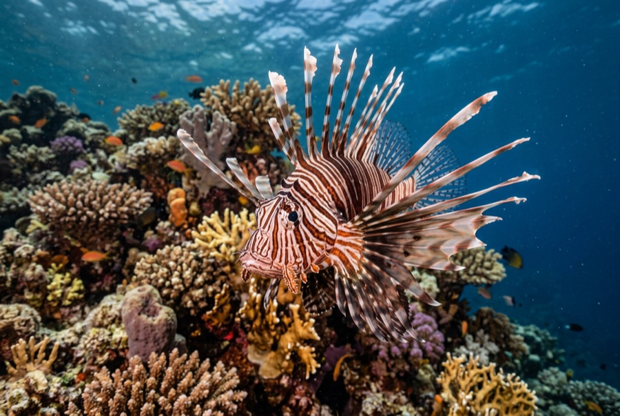
Lionfish

Nudibranchs
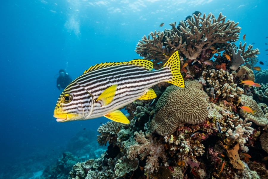
Oriental Sweetlips
Für Fotografen
Weitwinkel: ★★★★☆ · Makro: ★★★☆☆ — Redaktionelle 1–5-Bewertung, was dieser Platz für jeden Fotografie-Stil bietet