Doña Marilyn
La profundidad indica el rango desde la parte superior del punto hasta su máximo habitual; la "certificación recomendada" es el nivel que los operadores suelen exigir según las principales agencias, no una norma legal. Las corrientes y la visibilidad cambian a diario — considera todo esto como rangos de planificación.
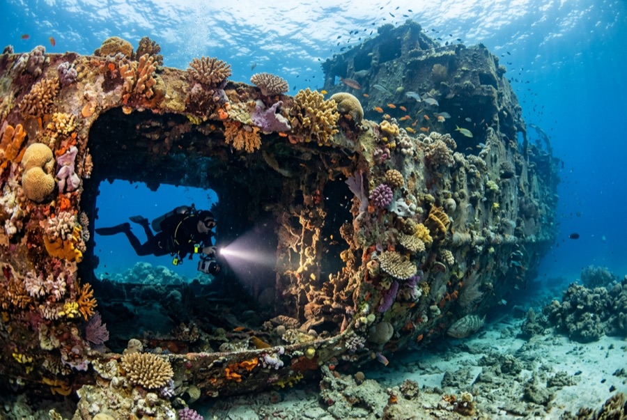
The Doña Marilyn was an inter-island passenger ferry lost in Typhoon Unsang in October 1988, a disaster that killed a large number of the people aboard; accounts of the toll vary into the hundreds. The roughly 90 m hull now lies on its starboard side on sand at about 33 m, thickly furred in black coral and soft growth, sheltering scorpionfish, sweetlips, and clouds of baitfish, with rays sometimes resting in its lee. Dive it as what it is, a grave as well as a reef: no souvenirs, restrained penetration for the trained only, and quiet respect for the door frames people once walked through.
El momento por el que vienes: A large, coral-carpeted ferry hull, rich fish life, sobering history handled respectfully
Topografía: Hull lying on its starboard side on sand at about 33 m
Corriente: Exposed position; current across the hull is common and dives are planned around it.
Entrada: Roughly an hour's boat ride from Malapascua in open water; dived when seas allow.
Lo que debes saber antes de tirarte al agua
Riesgos: Depth, nets and snagged lines in places, silt inside, and open-sea current; penetration only with wreck training.
Conservación: Treat as a maritime grave: take nothing, disturb nothing, and keep contact off the hull's growth.
Nitrox: Vale la pena aquí — los perfiles se sitúan en el rango donde el aire enriquecido (nitrox) amplía de forma significativa el tiempo sin descompresión (con la formación necesaria para usarlo).
A quién encontrarás
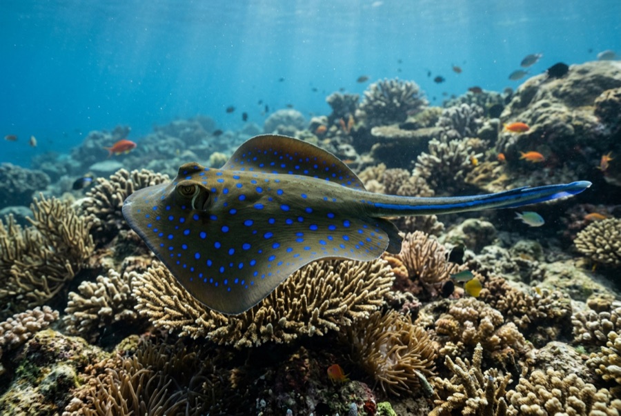
Blue-Spotted Ribbontail Ray
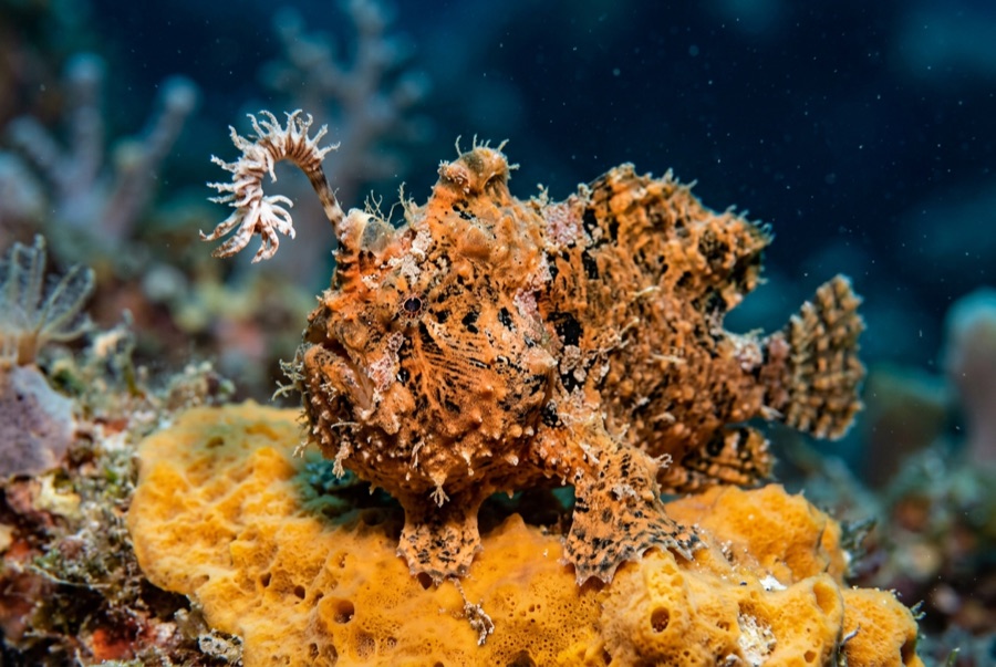
Frogfish
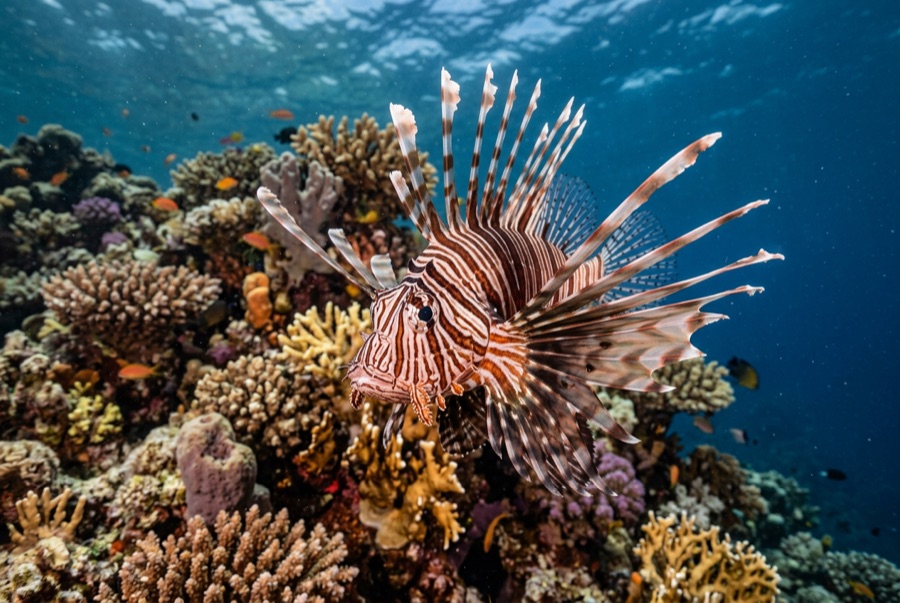
Lionfish

Nudibranchs
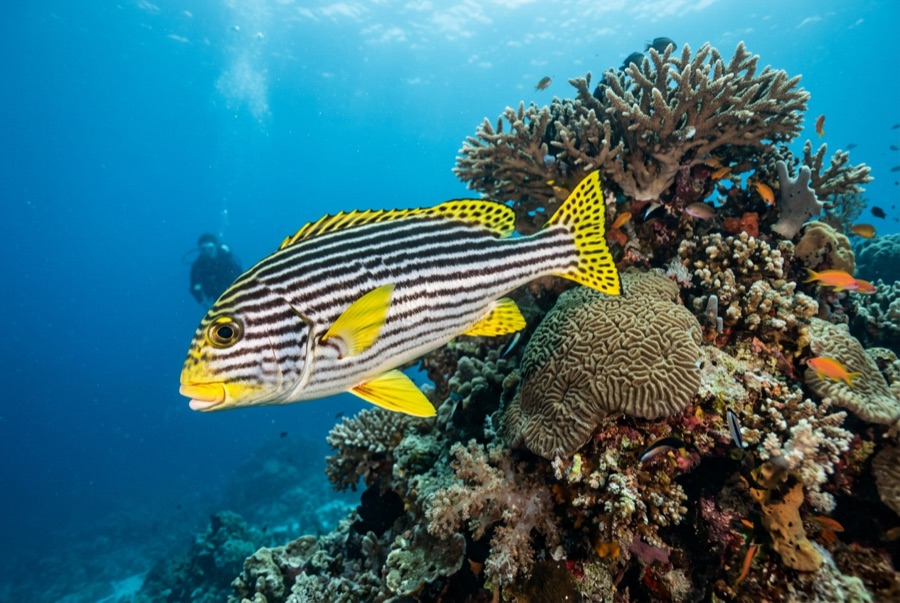
Oriental Sweetlips
Para fotógrafos
Gran angular: ★★★★☆ · Macro: ★★★☆☆ — valoración de 1 a 5 de los editores sobre lo que ofrece este sitio para cada estilo de fotografía