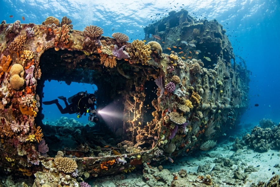
Doña Marilyn
La profondeur indique la plage entre le sommet du site et son maximum habituel ; le « niveau de certification recommandé » correspond au niveau généralement demandé par les opérateurs selon les agences grand public, et non à une règle légale. Les courants et la visibilité varient chaque jour — considérez toutes ces informations comme des estimations de planification.
The Doña Marilyn was an inter-island passenger ferry lost in Typhoon Unsang in October 1988, a disaster that killed a large number of the people aboard; accounts of the toll vary into the hundreds. The roughly 90 m hull now lies on its starboard side on sand at about 33 m, thickly furred in black coral and soft growth, sheltering scorpionfish, sweetlips, and clouds of baitfish, with rays sometimes resting in its lee. Dive it as what it is, a grave as well as a reef: no souvenirs, restrained penetration for the trained only, and quiet respect for the door frames people once walked through.
Le moment pour lequel vous venez: A large, coral-carpeted ferry hull, rich fish life, sobering history handled respectfully
Topographie: Hull lying on its starboard side on sand at about 33 m
Courant: Exposed position; current across the hull is common and dives are planned around it.
Entrée: Roughly an hour's boat ride from Malapascua in open water; dived when seas allow.
À savoir avant de plonger
Dangers: Depth, nets and snagged lines in places, silt inside, and open-sea current; penetration only with wreck training.
Conservation: Treat as a maritime grave: take nothing, disturb nothing, and keep contact off the hull's growth.
Nitrox: Intéressant ici — les profils se situent dans la plage où le nitrox prolonge significativement le temps sans palier (avec la formation pour l'utiliser).
Qui vous croiserez
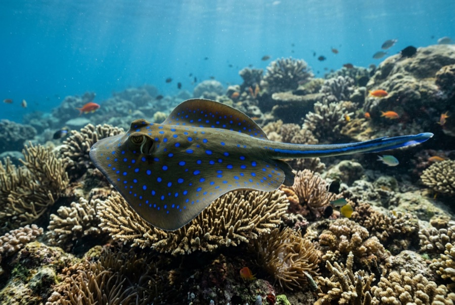
Blue-Spotted Ribbontail Ray
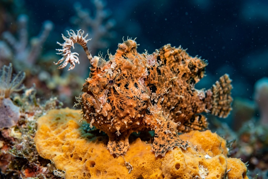
Frogfish
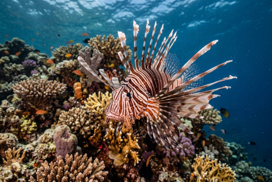
Lionfish

Nudibranchs
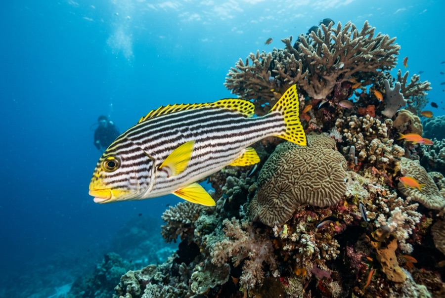
Oriental Sweetlips
Pour les photographes
Grand angle: ★★★★☆ · Macro: ★★★☆☆ — note 1–5 des éditeurs sur ce que ce site offre à chaque style de prise de vue