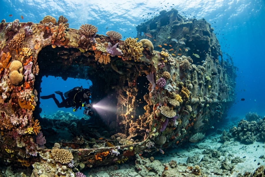
Doña Marilyn
Kedalaman adalah rentang dari bagian teratas lokasi hingga maksimum biasanya; "sertifikasi yang direkomendasikan" adalah level yang umumnya diminta operator dari lembaga arus utama, bukan aturan hukum. Arus dan visibilitas berubah setiap hari — gunakan semua informasi di sini sebagai kisaran perencanaan saja.
The Doña Marilyn was an inter-island passenger ferry lost in Typhoon Unsang in October 1988, a disaster that killed a large number of the people aboard; accounts of the toll vary into the hundreds. The roughly 90 m hull now lies on its starboard side on sand at about 33 m, thickly furred in black coral and soft growth, sheltering scorpionfish, sweetlips, and clouds of baitfish, with rays sometimes resting in its lee. Dive it as what it is, a grave as well as a reef: no souvenirs, restrained penetration for the trained only, and quiet respect for the door frames people once walked through.
Momen yang Anda nantikan: A large, coral-carpeted ferry hull, rich fish life, sobering history handled respectfully
Topografi: Hull lying on its starboard side on sand at about 33 m
Arus: Exposed position; current across the hull is common and dives are planned around it.
Entri: Roughly an hour's boat ride from Malapascua in open water; dived when seas allow.
Ketahui sebelum kamu nyebur
Bahaya: Depth, nets and snagged lines in places, silt inside, and open-sea current; penetration only with wreck training.
Konservasi: Treat as a maritime grave: take nothing, disturb nothing, and keep contact off the hull's growth.
Nitrox: Layak di sini — profil berada dalam rentang di mana nitrox secara nyata memperpanjang waktu tanpa dekompresi (dengan pelatihan yang sesuai untuk menggunakannya).
Siapa yang akan kamu temui
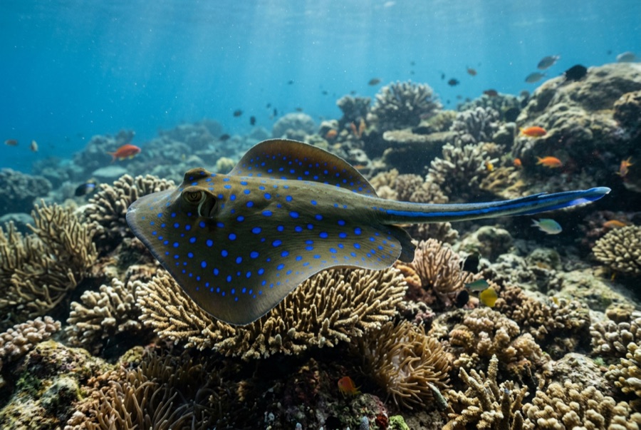
Blue-Spotted Ribbontail Ray
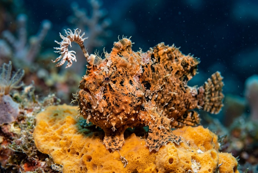
Frogfish
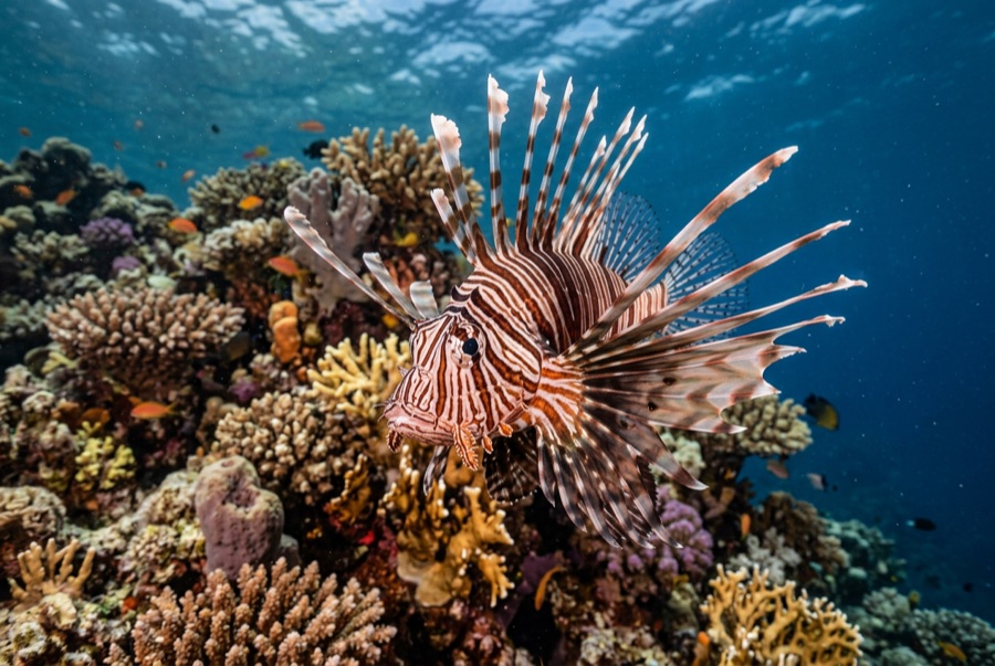
Lionfish

Nudibranchs
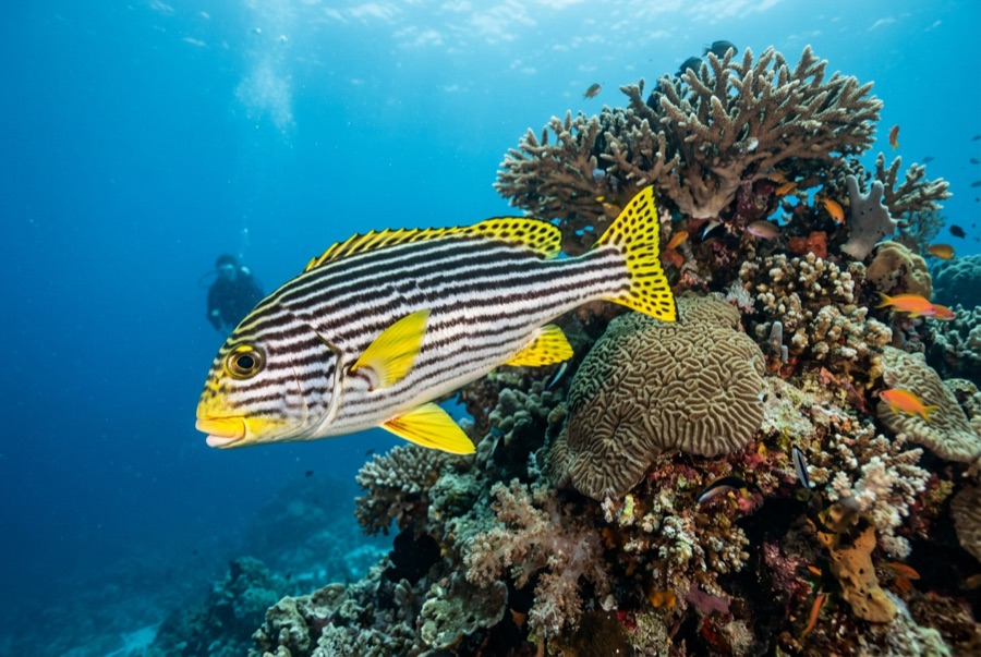
Oriental Sweetlips
Untuk fotografer
Wide angle: ★★★★☆ · Makro: ★★★☆☆ — penilaian 1–5 dari editor tentang apa yang ditawarkan lokasi ini untuk setiap gaya pemotretan