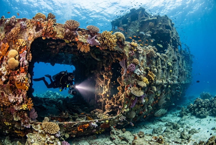
Doña Marilyn
La profondità indica il range dalla sommità del sito al suo massimo abituale; il "brevetto consigliato" è il livello richiesto di norma dagli operatori delle principali agenzie, non una norma di legge. Correnti e visibilità cambiano ogni giorno — considera tutto ciò che trovi qui come range di pianificazione.
The Doña Marilyn was an inter-island passenger ferry lost in Typhoon Unsang in October 1988, a disaster that killed a large number of the people aboard; accounts of the toll vary into the hundreds. The roughly 90 m hull now lies on its starboard side on sand at about 33 m, thickly furred in black coral and soft growth, sheltering scorpionfish, sweetlips, and clouds of baitfish, with rays sometimes resting in its lee. Dive it as what it is, a grave as well as a reef: no souvenirs, restrained penetration for the trained only, and quiet respect for the door frames people once walked through.
Il momento che aspettavi: A large, coral-carpeted ferry hull, rich fish life, sobering history handled respectfully
Topografia: Hull lying on its starboard side on sand at about 33 m
Corrente: Exposed position; current across the hull is common and dives are planned around it.
Entrata: Roughly an hour's boat ride from Malapascua in open water; dived when seas allow.
Sapere prima di tuffarsi
Pericoli: Depth, nets and snagged lines in places, silt inside, and open-sea current; penetration only with wreck training.
Conservazione: Treat as a maritime grave: take nothing, disturb nothing, and keep contact off the hull's growth.
Nitrox: Vale la pena qui — i profili rientrano nella fascia in cui l'aria arricchita (nitrox) prolunga in modo significativo il tempo senza decompressione (con la formazione necessaria per utilizzarla).
Chi incontrerai
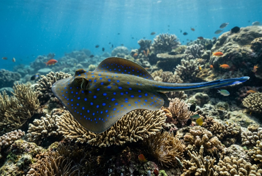
Blue-Spotted Ribbontail Ray
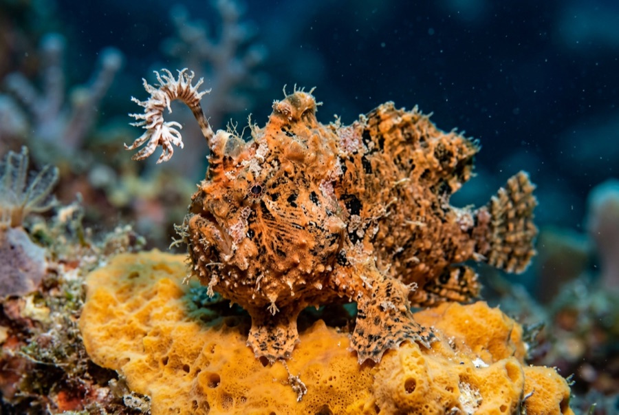
Frogfish
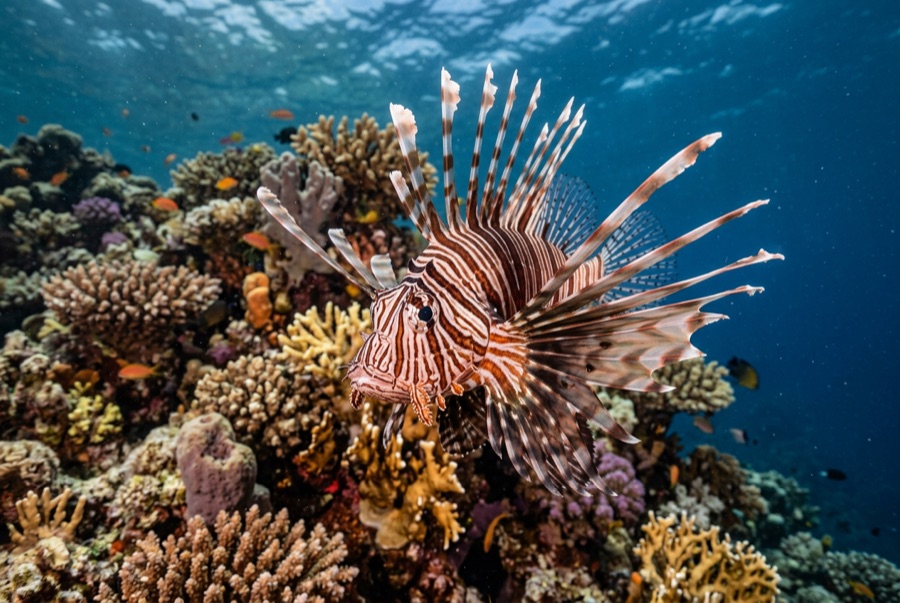
Lionfish

Nudibranchs
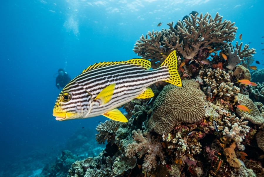
Oriental Sweetlips
Per i fotografi
Grandangolo: ★★★★☆ · Macro: ★★★☆☆ — valutazione da 1 a 5 dei redattori su ciò che questo sito offre per ogni stile di ripresa